Knife River Indian Villages National Historic Site
Sacagawea was living here when Lewis and Clark arrived in the winter of 1804. She had been captured by a Hidatsa raiding party years earlier and brought to the villages at the confluence of the Knife and Missouri Rivers, where her presence would eventually change the course of American exploration. The circular depressions that mark the North Dakota prairie today were once earth lodges large enough to shelter entire families and their most prized horses, the centerpiece of a trading empire that stretched from the Pacific Northwest to the Gulf Coast.
Circles in the Grass
The earth lodge remains appear as gentle depressions scattered across the floodplain, each one marking where a home once stood. These were substantial structures, up to 40 feet in diameter and 14 feet high, built from wooden frames covered in layers of willow branches, dried grass, and earth. The packed dirt floor sat slightly below ground level, worn down over years of daily sweeping. A central fireplace sent smoke upward through an opening in the roof while families gathered on raised platforms around the walls. The most valued horses slept in corrals just inside the entrance, protected from raiders and winter storms alike. Three distinct villages occupied this stretch of riverbank: Awatixa Xi'e, the oldest of the three; Awatixa; and Big Hidatsa, established around 1600. Together they formed one of the largest population centers on the northern Plains.
The Crossroads of a Continent
Long before European goods arrived, these villages anchored a trade network of remarkable scope. The Hidatsa and their Mandan neighbors served as middlemen connecting peoples from Minnesota to the Rocky Mountains. Furs flowed in from the north and west; copper arrived from the Great Lakes region; shells traveled up from the Gulf Coast. The villages exported what the surrounding nomadic tribes could not easily produce: corn, beans, squash, and sunflowers grown in extensive gardens along the fertile river bottoms. Women managed these agricultural plots, their surplus harvest making the villages indispensable to the regional economy. When European traders eventually reached these communities, they simply plugged into existing networks, adding guns and metal goods to commerce that had operated for centuries.
The Guide Who Changed Everything
Sacagawea was a Shoshone teenager when Hidatsa raiders captured her somewhere near the Rocky Mountains. By the time Lewis and Clark arrived at the Knife River villages in the winter of 1804, she was living with French-Canadian trader Toussaint Charbonneau, who had won or purchased her from her captors. The expedition hired Charbonneau as an interpreter, and Sacagawea came along, giving birth to her son Jean Baptiste just weeks before departure. Her presence proved invaluable beyond her translation skills. As the Corps of Discovery encountered tribe after tribe on their westward journey, the sight of a young Native woman carrying an infant signaled peaceful intentions. War parties did not travel with women and children. Sacagawea's homeland knowledge eventually helped the expedition cross the Continental Divide through Shoshone territory.
The Epidemic That Ended Everything
The villages thrived until 1837, when smallpox arrived on a steamboat and swept through the river communities. The Hidatsa lost half their population in the initial outbreak. The Mandan fared far worse: out of 1,600 villagers, only 31 survived. The disease spread through the very trade networks that had built the villages' prosperity, carried on blankets, horses, and household goods as neighboring peoples raided the emptied settlements for supplies. Survivors from the Mandan, Hidatsa, and Arikara nations eventually regrouped at a new settlement called Like-a-Fishhook, abandoning the Knife River sites to the prairie grass. The circular depressions slowly filled with sediment while the trade routes that once made this place essential fell silent.
Returning to the River
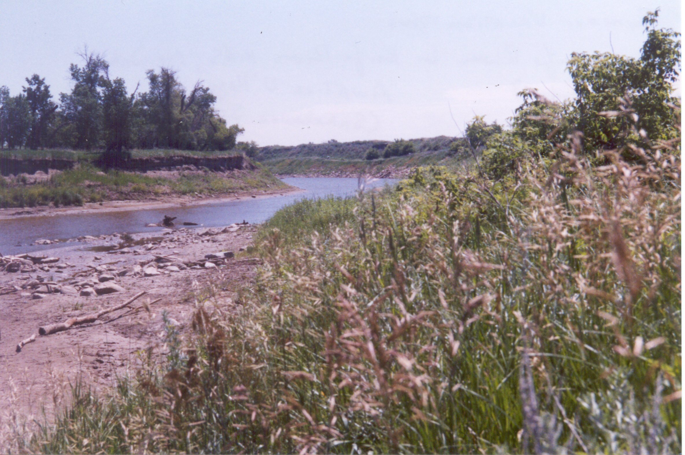
The National Park Service established this historic site in 1974, working to restore the landscape to something approaching its pre-contact appearance. Native short-grass prairies now cover the uplands where mixed vegetation once grew. Cottonwoods, green ash, and American elm line the river bottoms much as they did when the villages flourished. White-tailed deer, coyotes, and beavers move through forests that have changed little in composition since the Hidatsa days. Bald eagles and red-tailed hawks circle overhead while white pelicans work the waters below. The park preserves not just archaeological remains but a living ecosystem, a window into what the northern Plains looked like when these villages stood at the center of a continental trading network.
From the Air
Located at 47.35N, 101.39W at the confluence of the Knife and Missouri Rivers in central North Dakota. Best viewed at 2,000-3,000 feet AGL where the river junction and surrounding prairie are clearly visible. The forested peninsula along the Knife River marks the historic site. Nearest airports: Mercer County Regional (K2R2) approximately 20 nm southeast, or Bismarck Municipal (KBIS) about 50 nm south. The Missouri River provides an excellent visual reference for navigation through this section of North Dakota.