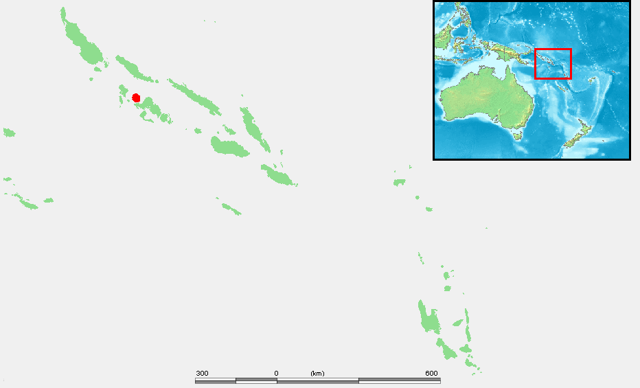
Kolombangara
The name means Water Lord. Roughly eighty rivers and streams pour down the flanks of Kolombangara, cutting the green slopes of the stratovolcano into radial grooves that can be seen from the air. The island is almost a perfect circle, thirty kilometers across, rising 1,770 meters to the summit of Mount Veve in the center. From the sea it appears as a symmetrical cone shrouded in cloud, steep enough that the coast is narrow and the interior almost empty of people. The island is mostly itself: mountain, rain, and forest.
A Cone of Forest
Kolombangara forms part of the southern boundary of the New Georgia Sound, the long stretch of water the Americans nicknamed the Slot. Across the Vella Gulf to the northwest lies Vella Lavella. Across the Kula Gulf to the southeast lies New Georgia. The provincial capital Gizo sits on Ghizo Island just west-southwest. Two settlements matter on Kolombangara itself: Ringgi, the larger, and Mongga. The dominant industry is logging, worked principally from Poitete. Around the circular ridge and the central caldera, BirdLife International has designated an Important Bird Area covering 30,963 hectares, with corridors reaching down through lowland forest to the coast. The birds here include species found almost nowhere else: Kolombangara monarchs, Kolombangara leaf warblers, Kolombangara white-eyes, along with Heinroth's shearwaters, Sanford's sea eagles, and the secretive Roviana rail. A separate Marine IBA of roughly 80,000 hectares protects the shearwaters' foraging grounds in the waters around the island.
First Sightings
The Spanish navigator Alvaro de Mendana de Neira logged the first recorded European sighting in 1568, during his search for the legendary Solomon's mines that gave the archipelago its European name. Nothing came of the sighting for another three hundred years. On 15 March 1893, along with the rest of the group, Kolombangara was formally declared part of the British Solomon Islands protectorate. It remained marginal to colonial administration until the Empire of Japan occupied the island in the early stages of the Pacific War and turned its southern flat ground at Vila into an airstrip, with supply lines running across the gulf to the Munda airfield on New Georgia.
Ten Thousand Men on the Slopes
By May 1943, Major General Minoru Sasaki had more than ten thousand Japanese troops dug in on Kolombangara's southeastern slopes, part of a line intended to hold the central Solomons. The naval battles in the waters around the island - the Battle of Kula Gulf on 6 July, the Battle of Kolombangara a week later - were efforts to keep those men supplied and to keep the Americans from stopping the supply runs. From the summit of Mount Veve, Australian coastwatcher Sub Lieutenant Arthur Reginald Evans ran a secret observation post, peering down through gaps in the cloud at the ships passing below and radioing their movements back to Allied intelligence. On the moonless night of 2 August 1943, he saw a fireball flare up in the Blackett Strait to the southwest. A torpedo boat was burning.
Gasa and Kumana's Canoe
The fireball was PT-109. After decoded radio traffic confirmed that the lost boat was John F. Kennedy's, Evans dispatched two Solomon Islanders named Biuku Gasa and Eroni Kumana in a dugout canoe to search for survivors. The two were trained scouts for the coastwatcher network, men who could move across Japanese-patrolled waters and be mistaken for ordinary fishermen if spotted. They found the crew on Olasana Island, starving after a week on coconuts and rainwater. Kennedy handed them a coconut husk with a message carved into it; Ensign Leonard Thom wrote a penciled note. Gasa and Kumana paddled thirty-eight nautical miles through hostile waters to get those messages to the Rendova PT base. Without the two Solomon Islanders, the crew of PT-109 would likely have died where they sat. Both men were alive when visited by National Geographic in 2002. Kennedy invited them to his 1961 inauguration, but island officials intercepted them at the Honiara airport and sent local dignitaries in their place, judging that the scouts' appearance and pidgin English would be an embarrassment. Gasa died in 2005; his death was noted in a single blog post by a relative.
Leapfrogged and Left
Three nights after the PT-109 sinking, American destroyers finally succeeded in cutting the Japanese supply line. Allied forces then did something that must have felt anticlimactic to the troops dug in on Kolombangara: they leapfrogged the island entirely, landing instead on Vella Lavella to the west and isolating the garrison of 12,400 Japanese soldiers. Between 23 September and 4 October 1943, the Japanese evacuated Kolombangara by barge at night. In January 1944, seven American engineers from the 350th Engineer General Service Regiment, working with sixteen Solomon Islander laborers, established a vegetable farm on the abandoned Vila airstrip. The main crop, somewhat improbably, was watermelons, sent back across the gulf to the base hospital to supplement the dehydrated rations served to recovering soldiers. The island has been part of independent Solomon Islands since 1978. In recent years, a Chinese state-owned forestry corporation has expressed interest in buying the plantation that covers much of the island, along with its port and the old Vila airstrip - a reminder that geography tends to stay strategic long after the reasons change.
From the Air
Kolombangara is centered near 7.97 S, 157.07 E in the Solomon Islands' Western Province. The island is a near-perfect circular stratovolcano 30 km across, rising to 1,770 m at Mount Veve in the center; the coastal plain is narrow and the slopes are heavily forested. Best viewing altitude 8,000-10,000 feet to take in the full cone. Munda International Airport (AGGM) lies about 20 nm southeast across the Kula Gulf; Gizo airport (AGGN) is 15 nm west on Ghizo Island. Cloud often obscures the summit; expect tropical squalls.