Komi Republic
Two realities exist in the Komi Republic, and they are difficult to reconcile. One is the landscape: Europe's largest virgin boreal forest, the Manpupuner rock formations rising like giants from the Ural foothills, rivers that run cold and clear through country few visitors ever see. The other is the history: coal mines in the tundra, cities built on frozen ground by prisoners who died there, a gulag network so extensive that nearly a million people passed through its camps. The Komi Republic is both of these things at once — one of Russia's most remote and beautiful regions, and one of its most haunted.
The Komi People and Their Land
The republic is named for the Komi, a Finno-Ugric people whose language is closely related to Udmurt and whose culture stretches back thousands of years along the rivers and forests of northwestern Russia. Today, ethnic Russians make up the majority of the population, but roughly a quarter are Komi — and in villages like Izhma and the ancient settlements along the Pechora River, Komi language, wooden architecture, and folk traditions remain part of daily life. The Old Believers of the Pechora River settlements have kept centuries-old religious customs alive in villages that predate the Soviet era by hundreds of years. In Syktyvkar, the capital, these deep roots are harder to see — buried under Soviet-era blocks and the administrative infrastructure of a modern regional center — but they persist.
Virgin Forests at the Edge of Europe
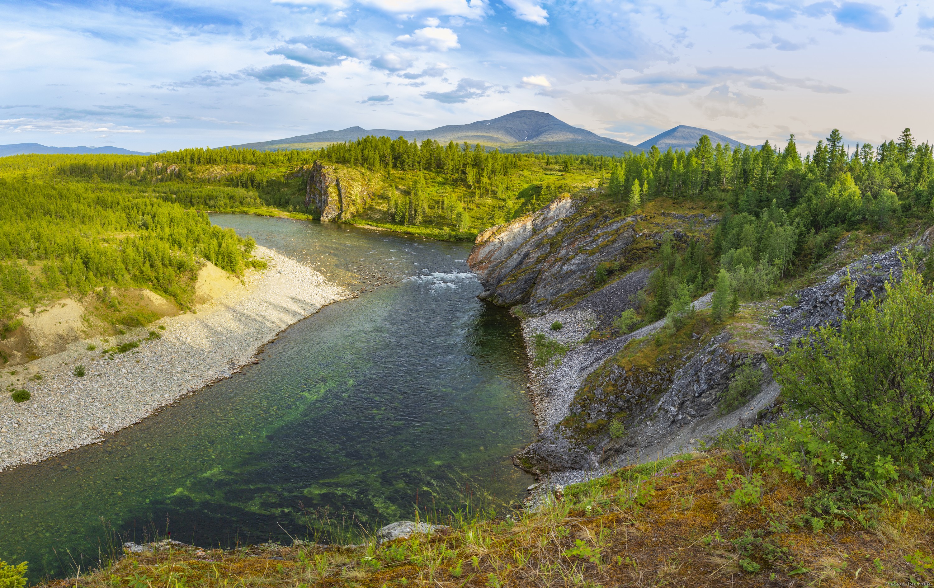
Yugyd Va National Park, whose name comes from the Komi language meaning clean water, is the largest national park in Europe. Together with the Pechora-Ilych Nature Reserve, it forms the UNESCO World Heritage Site known as the Virgin Komi Forests — the last great expanse of undisturbed boreal forest on the European continent. Spruce and fir stretch for hundreds of kilometers; rivers run without dams; wolves, bears, and lynx move through territories that logging and agriculture have never reached. At the heart of the reserve stand the Manpupuner rock formations: seven enormous weathered pillars of stone rising from the tundra plateau, created by millions of years of erosion and held as sacred by the indigenous peoples of the Urals. Reaching them requires serious wilderness travel. The reward is a place that looks like no other landscape on Earth.
Stalin's Coal and the Price of It
The city of Vorkuta sits in the tundra at the republic's northeastern edge, close to the Polar Urals and close to some of the USSR's largest coal reserves. Stalin needed that coal, and he used the gulag system to extract it. Vorkuta became home to one of the most notorious of all Soviet labor camps — a place where prisoners from across the Union were sent to mine coal in conditions that killed thousands. Nearly a million people passed through the various camps of the Komi region during the Stalin years. The monuments to gulag history that stand in Vorkuta today represent only a fraction of what happened there. Most of the dead were buried in unmarked graves, in ground that is still frozen for much of the year.
Getting to the Edge of Europe
Syktyvkar, the capital, is the practical entry point: flights arrive from Moscow and Ufa, and trains connect via Kotlas in Arkhangelsk Oblast. From Syktyvkar, Rossiya and Aeroflot operate connecting flights to the republic's far-flung cities — Pechora, Vorkuta, Ukhta. For those heading into Yugyd Va, Pechora is the typical base. The park requires real preparation: distances are vast, infrastructure is minimal, and weather changes fast. In late summer, boats run north from Pechora to Naryan-Mar in Nenetsia. Year-round, trains cross the Urals toward Salekhard in Yamalia, connecting the Komi Republic to the wider Siberian transport network.
From the Air
The Komi Republic's center is at approximately 64.28°N, 54.47°E in northwestern Russia, northeast of the Ural Mountains. Syktyvkar Airport (UUYY) serves the capital. Flying over the region at altitude reveals the characteristic dark-green pattern of boreal forest stretching in every direction, broken only by river corridors and the occasional industrial settlement. Toward the east, the Ural ridgeline becomes visible, and beyond it, the tundra of western Siberia. The Manpupuner formations lie within the Yugyd Va park boundary on the western slopes of the Northern Urals.