Korean Demilitarized Zone
From the air, the Korean DMZ looks like a scar. A strip of land roughly 4 kilometers wide and 250 kilometers long cuts across the peninsula from coast to coast, intersecting the 38th parallel in a ragged line that follows no natural boundary. On satellite imagery, the zone appears green -- conspicuously so against the developed landscape on either side. After more than seven decades without human habitation, farming, or development, this buffer zone designed for war has become one of Asia's most pristine temperate habitats. Red-crowned cranes winter here. Asiatic black bears have been spotted. The irony is almost too neat: the most dangerous border on Earth doubles as a nature reserve.
Drawing the Line
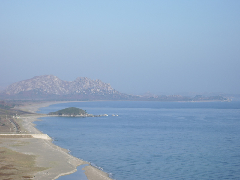
The DMZ was established under the Korean Armistice Agreement of July 27, 1953, which halted fighting but never formally ended the Korean War. The agreement called for both sides to withdraw two kilometers from the front line, creating the buffer zone. The resulting boundary does not follow the pre-war 38th parallel precisely -- it traces the actual line of contact when fighting stopped, weaving north and south of the parallel depending on where each army stood that July day. At its western end, near the Yellow Sea, the zone passes close to Seoul -- the South Korean capital sits barely 50 kilometers from the border, a geographic vulnerability that has shaped South Korean defense planning ever since.
The Joint Security Area
Near the western end of the DMZ lies the Joint Security Area at Panmunjom, the only point where North and South Korean soldiers stand face to face. The blue UN buildings that straddle the Military Demarcation Line have hosted armistice negotiations, defections, and one of the Cold War's most surreal standoffs -- the 1976 axe murder incident, when North Korean soldiers killed two US Army officers who were trimming a poplar tree. In 2018, South Korean President Moon Jae-in and North Korean leader Kim Jong-un met at Panmunjom, with Kim briefly stepping across the demarcation line into the South -- a moment broadcast worldwide. The JSA remains a functioning diplomatic contact point, though what passes for diplomacy here has ranged from hopeful to lethal.
Tunnels and Tensions
The DMZ has never been truly demilitarized in any practical sense. Both sides maintain massive military forces along its edges, and incidents have punctuated its history with regularity. South Korea has discovered four infiltration tunnels dug by North Korea beneath the DMZ, the first in 1974 and the most recent in 1990. Each was large enough to move thousands of troops per hour. Shooting incidents, defections (both successful and fatal), and propaganda loudspeaker campaigns have made the zone a frontline in everything but name. In 1968, a team of 31 North Korean commandos crossed the DMZ and reached within 800 meters of the South Korean presidential residence, the Blue House, before being intercepted. The incursion killed 26 North Koreans, 3 South Korean civilians, and several soldiers and police.
Where War Breeds Wilderness
The accidental ecology of the DMZ has drawn increasing attention. With no farming, no roads, and no human presence for over seventy years, the zone has rewilded into a corridor of wetlands, forests, and grasslands. Surveys have documented red-crowned cranes, white-naped cranes, Asiatic black bears, and other species that have lost habitat elsewhere on the peninsula. The Civilian Control Zone extending south of the DMZ adds an additional buffer where limited agriculture occurs but development is restricted. Environmentalists have proposed making the DMZ a permanent peace park or UNESCO biosphere reserve, though such plans depend on a political resolution that has eluded every attempt since 1953. For now, the wildlife thrives in a sanctuary enforced not by conservation policy but by landmines, barbed wire, and the threat of automatic weapons fire.
From the Air
Located along approximately 38.0N latitude, stretching from roughly 124.6E at the Yellow Sea coast to 128.4E at the Sea of Japan coast. The DMZ is visible from altitude as a conspicuously undeveloped green strip cutting across the peninsula, flanked by military installations on both sides. Overflights of the DMZ are strictly prohibited without special authorization. The Joint Security Area at Panmunjom (37.96N, 126.68E) is near the western end. Seoul lies roughly 50 km south of the western DMZ. Nearest accessible airports include Gimpo International (RKSS) and Incheon International (RKSI) to the south.