Kralendijk
There is a bench on the Kralendijk waterfront, dedicated in 1923, shaped like a W. People would sit here for hours, watching the sea, waiting for the boat from Curacao to bring their families home. The W stood for two things: "welcome" and "Wilhelmina," the Dutch queen. That double meaning captures something essential about this small Caribbean capital -- a town where Dutch colonial architecture lines streets with Papiamentu names, where a monument to Simon Bolivar stands near Fort Oranje, and where the name itself, an alteration of Koralendijk, simply means "coral dike." Kralendijk is not a city that overwhelms. It is a place built on coral and layered with centuries of unlikely visitors.
The Fort That Never Fought
Fort Oranje was built in 1639, three years after the Dutch took control of Bonaire from Spain. Its purpose was defense. Its history was anything but. The fort never saw action -- no siege, no bombardment, no heroic last stand. It became a residence for the island's commander until 1837, when a new governor's house was built next door. The cannons pointing seaward are English, dating from 1808 to 1812, souvenirs from the brief period of British control. Inside the fort walls, a wooden lighthouse went up around 1868, replaced by stone in 1932. That building served as a government warehouse, a prison, and a police station. The fort was restored in 1999 and housed the island's courthouse until 2011. A military installation that became a home, then a lighthouse, then a jail, then a court of law -- Fort Oranje has been many things, but never what it was designed to be.
Wars Fought Far from Home
On May 10, 1940, the same day Germany invaded the Netherlands, 461 Dutch and German citizens were transported to Bonaire and interned in a camp just south of the fort. The camp stood through the war years, a strange echo of a European conflict dropped onto a Caribbean shore. After liberation, the camp was converted into a hotel -- today's Divi Bonaire. But the war's real cost to Kralendijk was measured at sea. Bonairean sailors crewed the oil tankers that carried fuel from Curacao and Aruba to the Allied war effort, and German U-boats hunted those tankers through Caribbean waters. Bonaire lost more sailors to submarine attacks than any of the other Dutch islands. A waterfront monument memorializes them -- men who died far from the battlefields of Europe, sunk in the warm waters they had grown up swimming in. Eleanor Roosevelt visited Bonaire during the war to see the American troops stationed there, and her monument stands in Kralendijk too, another layer of a global conflict on this small island.
Five Villages, One Town
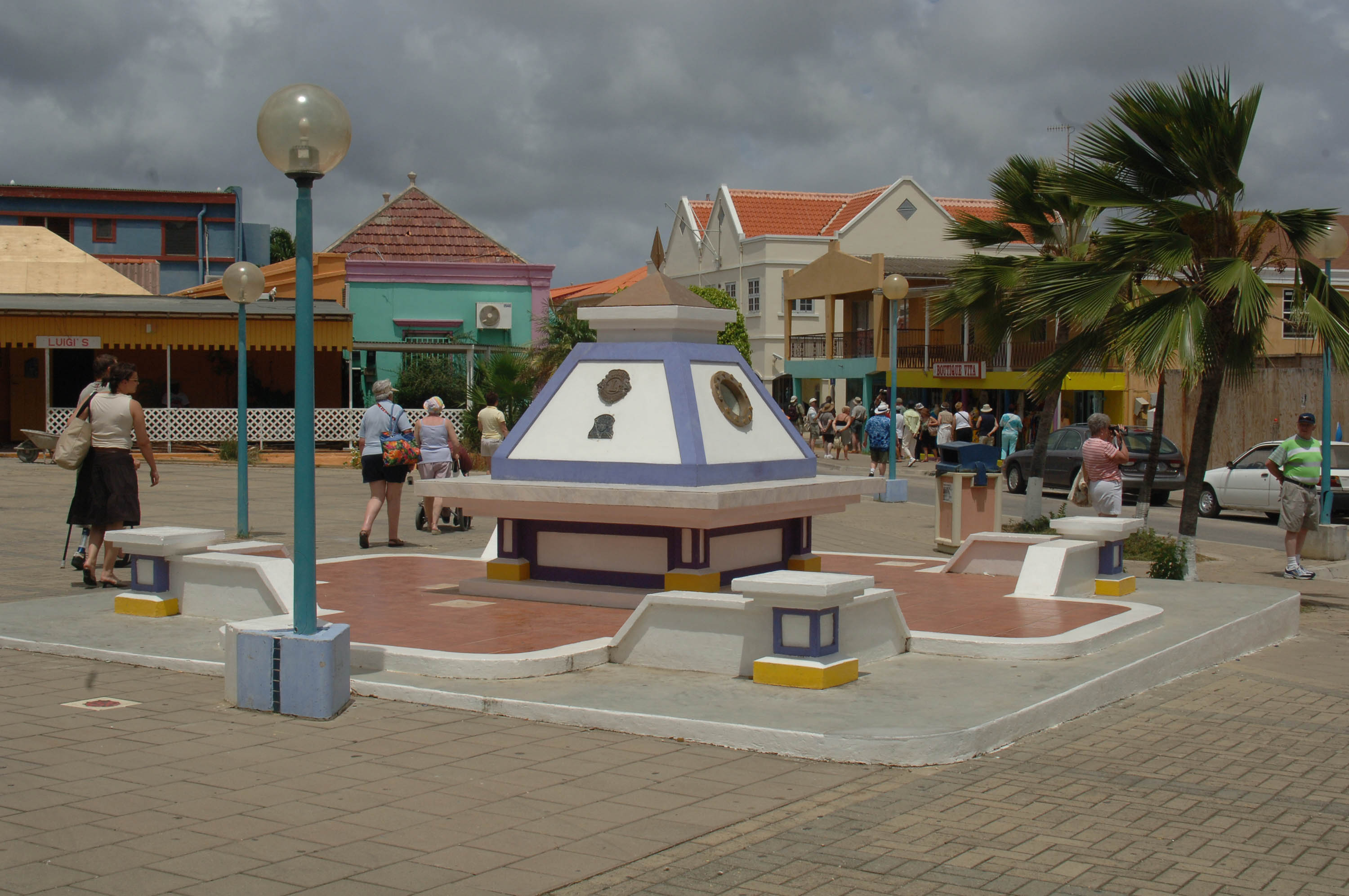
Kralendijk did not grow from a single settlement. It assembled itself from five villages: Antriol, Nikiboko, Noord Salina, Playa, and Tera Kora. Playa, the English settlement established adjacent to the fort in 1810, gave the waterfront its character. The Dutch named the merged town Kralendijk in 1830, but old Bonaireans still call the center "Playa." Walking Kaya Grandi, the main shopping street, you pass architecture from the late 1800s and early 1900s -- buildings where shopkeepers lived upstairs and ran businesses on the ground floor. The Pasangrahan, built around 1890 as the Debrot family home, became a government guest house in 1921, then a public works office, and was restored in 1980 as the Island Parliament House. Cola Debrot, born into that family in 1902, became one of the Netherlands Antilles' most celebrated writers and eventually served as Governor. His family home became the seat of government. In a town this small, stories overlap.
The Liberator Who Never Landed
A monument on Kaya Libertador Simon Bolivar commemorates the great South American revolutionary's 1816 visit to Bonaire, when he sought refuge during the Venezuelan War of Independence. There is just one wrinkle: Bolivar's ship anchored in the harbor, but the Liberator himself never set foot on land. The monument honors a visit that was, technically, a near-miss. It is one of the more honest historical markers in the Caribbean. Kralendijk collects these oddities. The Protestant Church, built in 1847 primarily for the Dutch living on Bonaire, did not get its tower until 1868. Cannons across from the Old Hospital came not from a battle but from a British ship that ran aground in 1829 near Oranje Pond. In 1975, Bonaire became the first Dutch island to offer direct international dialing. By 1999, a fiber optic cable under the sea connected this town of roughly 10,000 people to the world. Each fact is small. Together, they sketch a place that has always been more connected than its size would suggest.
Coral Dike at the Crossroads
Kralendijk today is oriented toward the sea in every direction. Flamingo International Airport sits 1.5 kilometers south of downtown, close enough that the public beach at its western runway end is called Windsock. Cruise ships dock at the terminal. Water taxis shuttle divers to Klein Bonaire, the uninhabited islet just offshore, where some of the Caribbean's healthiest coral reefs begin at the waterline. There is no public bus system -- collective taxis run between Kralendijk and Rincon, the older settlement in the island's interior. The climate is hot and semi-arid, shaped by trade winds and the drying effect of South American coastal currents. Rain arrives erratically between October and January, and during El Nino years it may not come at all. In La Nina years, over 1,000 millimeters can fall. Kralendijk's relationship with water has always been complicated -- surrounded by it, built on coral shaped by it, perpetually waiting for it to fall from the sky.
From the Air
Kralendijk sits at 12.15N, 68.28W on the leeward (western) coast of Bonaire. The town is identifiable from altitude by its waterfront strip, the cruise ship terminal, and Fort Oranje at the harbor. Klein Bonaire, a small flat islet, is visible just offshore to the west. Flamingo International Airport (TNCB/BON) is immediately south of downtown -- the runway runs roughly east-west with the public beach at its western end. Approach from the west over Klein Bonaire for the best view of the waterfront and fort. Recommended viewing altitude: 3,000-5,000 ft to see the town layout against the turquoise nearshore waters. Conditions are typically clear with steady easterly trade winds of 12-15 knots.