Kura Missile Test Range
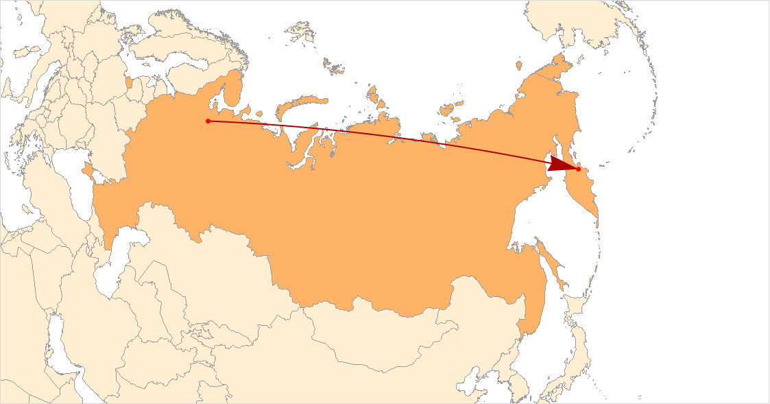
For most of the Cold War, one of the most watched pieces of empty wilderness on Earth was a stretch of northern Kamchatka that most maps did not bother to label. The Kura Missile Test Range -- originally codenamed Kama -- is where Russia's intercontinental ballistic missiles end their journeys. Fired from launch sites thousands of kilometers to the west, the warheads arc over Siberia and descend toward this remote corner of the Russian Far East, 130 kilometers northeast of the small settlement of Klyuchi. Chosen specifically for its emptiness and distance from population centers, Kura has been operational since 1955, outlasting the Soviet Union itself.
The Geometry of Deterrence
Kura exists because of geography. An intercontinental ballistic missile launched from western Russia needs a target zone far enough away to simulate the range to North America, yet remote enough that misses -- which were common in early testing -- would not destroy anything of value. Northern Kamchatka fit both requirements. Missiles fired from the Plesetsk Cosmodrome, roughly 6,000 kilometers to the west, follow a trajectory that carries them across the breadth of Russia before their warheads slam into the Kamchatka wilderness. Though the range tests nuclear-capable missiles, the warheads used are inert. The military townlet supporting the facility is called Klyuchi-1, named for the nearest civilian settlement. A regiment of Mil Mi-4 helicopters once provided logistical support, ferrying personnel and equipment across terrain that has no paved roads.
Eyes Across the Bering Sea
The Americans were watching from the start. Until 1994, the United States maintained Eareckson Air Station -- formerly Shemya Air Force Base -- on a tiny Aleutian island just 935 kilometers from Kura. In 1977, the U.S. installed the Cobra Dane phased-array radar at Shemya specifically to track missile impacts at the range. Every Soviet test launch, every warhead trajectory, every impact pattern was observed, recorded, and analyzed. The intelligence gathered at Shemya informed American assessments of Soviet missile accuracy and reliability for decades. It was surveillance through geometry: the Aleutian Islands and the Kamchatka Peninsula nearly touch across the Bering Sea, and the Cold War rivals exploited that proximity with characteristic thoroughness.
Submarine Missiles and Strategic Exercises
Kura's role has expanded beyond land-based missile testing. On October 29, 2014, the nuclear submarine Yury Dolgorukiy, lead vessel of the Borei class, successfully launched a Bulava submarine-launched ballistic missile that struck the Kura range -- the submarine's fifth such test. In October 2013, Russia used the range during a large-scale strategic readiness exercise: a Topol missile from Plesetsk and an R-36M2 from a silo at Dombarovskiy both delivered warheads to Kura simultaneously, demonstrating the ability to coordinate strikes from multiple platforms. In May 2012, a new, unnamed missile designed to evade American missile defenses was test-fired from a mobile launcher at Plesetsk and successfully reached its designated impact area on the range.
A Bureaucratic Paradox
Kura occupies an unusual place in Russia's military hierarchy. Although it exists to test weapons controlled by the Strategic Rocket Forces, the range is administratively part of the Plesetsk Cosmodrome and therefore belongs to the Russian Space Forces. This bureaucratic arrangement reflects the overlapping missions of Russia's military branches, where the infrastructure that launches satellites and the infrastructure that delivers nuclear warheads share common heritage, personnel, and real estate. The range sits in a landscape of volcanoes and tundra, surrounded by the same wilderness that shelters Kamchatka's brown bears and salmon runs. It is a place where the deep geological violence of the Earth and the engineered violence of human technology occupy the same territory, indifferent to each other.
From the Air
Located at 57.33N, 161.83E in northern Kamchatka, 130 km northeast of Klyuchi. This is an active military missile impact zone -- DO NOT overfly without authorization. The area is restricted airspace. Nearest civilian airport is Petropavlovsk-Kamchatsky (UHPP), approximately 450 km to the south-southwest. The range is surrounded by volcanic terrain and tundra with no civilian infrastructure. Observe from a safe distance to the south or west at high altitude only.