Kut
Look at Kut from the air and the river tells you everything. The Tigris bends so sharply here that the old town sits inside what is nearly an island, connected to the surrounding plain by a narrow neck of land. That geography made Kut a natural stronghold, a chokepoint on the river route between Basra and Baghdad. It also made it a trap. In December 1915, a British garrison marched in after a string of victories. Five months later, they surrendered -- starving, riddled with disease, and out of options. The siege lasted 147 days and remains one of the longest ever endured by a British force.
Where the Canal Met the River
Long before the British arrived, Kut occupied a strategic juncture in Mesopotamia's irrigation network. The medieval city of Madharaya stood at this site, marking the point where the Nahrawan Canal -- a vast Sasanian and Abbasid-era waterway stretching over 225 kilometers -- emptied back into the Tigris. The canal had been the backbone of the region's agriculture, irrigating the breadbasket that fed Baghdad. By the early 1200s, the geographer Yaqut al-Hamawi recorded that Madharaya lay in ruins, a casualty of the canal system's collapse and centuries of political upheaval. The city that grew in its place took the name Kut and became a regional center of the carpet trade, sustained by the fertile cereal-growing land along the river.
The Bend That Became a Prison
The U-shaped bend of the Tigris defines Kut's identity and sealed its fate during the First World War. After Major-General Townshend's Anglo-Indian force captured the town in September 1915, following the Battle of Es Sinn, they pushed further upriver toward Baghdad. The advance ended in a costly draw at Ctesiphon in November, and Townshend retreated back to Kut. The Ottoman army followed and dug trenches around the town, barricading the river with obstacles. The siege that began on 7 December 1915 trapped roughly 8,000 British and Indian soldiers inside the bend. Relief forces under Lieutenant General Alymer fought repeatedly to break through Ottoman lines between January and March 1916, suffering heavy casualties each time. They never reached Kut.
147 Days
Inside the perimeter, the garrison slowly exhausted its supplies. Tobacco went first. Tea ran out and soldiers brewed ginger instead. Milk, sugar, beef, and mutton disappeared in succession. Dysentery and scurvy spread through the ranks. General Townshend arranged a ceasefire on 26 April 1916 and, after failed negotiations, surrendered unconditionally on 29 April. Approximately 13,000 Allied soldiers survived to become prisoners of war. Many died during the forced march to imprisonment at Aleppo. Historian Christopher Catherwood has called the siege the worst defeat of the Allies in World War I. Kut was eventually recaptured by British forces under General Frederick Stanley Maude in February 1917, but the damage to imperial prestige was already done.
Layers of Conflict
The twentieth century brought more war to Kut's doorstep. The Baghdad Nuclear Research Facility, located near the city, was looted in the chaos following the 2003 American invasion of Iraq. During Operation Iraqi Freedom, Forward Operating Base Delta was established near Kut and staffed by a multinational coalition including Polish, Kazakh, El Salvadoran, Georgian, Lithuanian, British, and American forces. The base was redesignated as a Contingency Operating Base after 2009. On 24 October 2011, COB Delta was officially handed over to the Iraqi Air Force in a ceremony at the main flight line hangar. That evening, the last civilian personnel flew out by helicopter. The capital of Wasit Governorate, with an estimated population of about 389,400, Kut today is a city still defined by the river that has shaped it for centuries.
A River's Claim
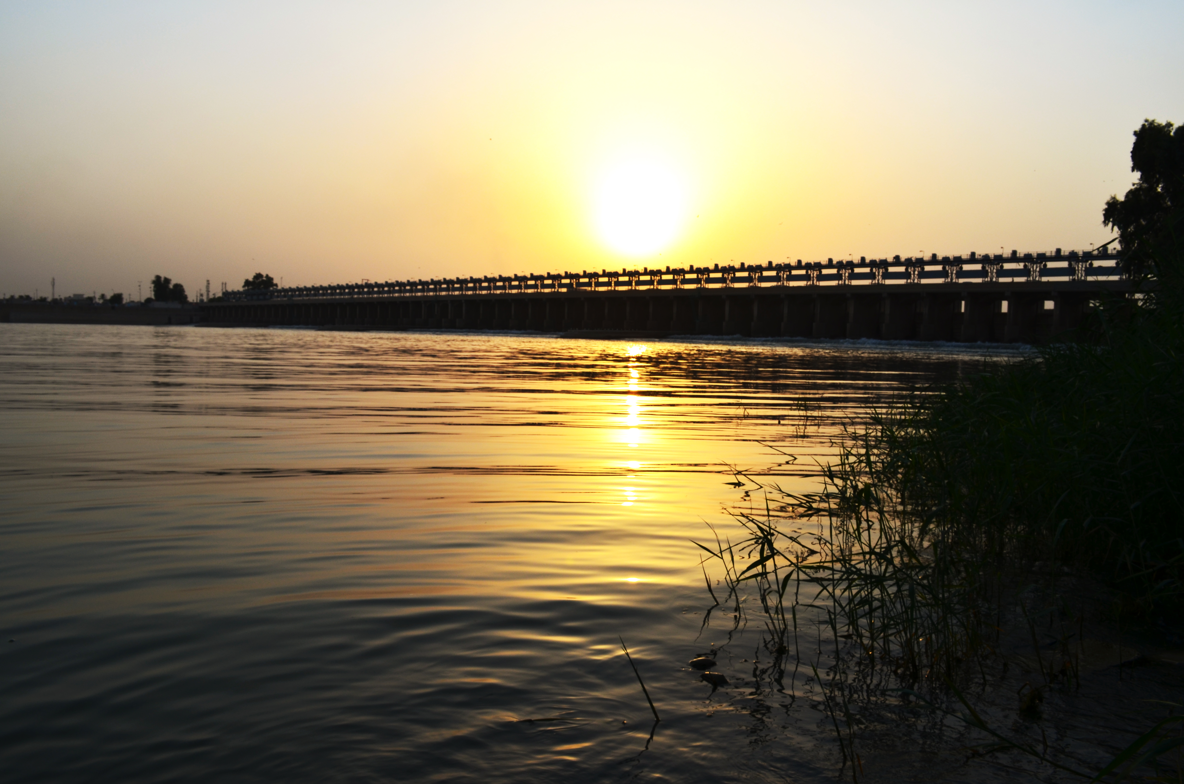
The Tigris remains Kut's central fact. The Shatt al-Gharraf branches off from the main channel directly opposite the old town, further emphasizing the city's position at a hydrological crossroads. The surrounding plain is flat, arid, and hot -- Kut has a desert climate averaging 23.4 degrees Celsius annually with only 138 millimeters of rain. What makes the land productive is the river. The alluvial soil deposited by the Tigris sustains cereal agriculture, just as it sustained the medieval Nahrawan system centuries ago. From altitude, the U-bend is unmistakable, a geographic signature written in water. The narrow neck connecting the old town to the mainland is still visible, the same chokepoint that Townshend's men once defended and that Ottoman trenches once surrounded.
From the Air
Located at 32.51N, 45.82E in eastern Iraq, about 160 km southeast of Baghdad. The distinctive U-bend of the Tigris at Kut is clearly visible from altitude and is the city's most recognizable feature. The Shatt al-Gharraf branches off opposite the old town. The former FOB Delta / COB Delta military installation is nearby. Flat desert terrain surrounds the city, with irrigated agricultural land along the river. Nearest major airport is Baghdad International (ORBI), approximately 160 km to the northwest.