La Barceloneta
The ground beneath La Barceloneta was the Mediterranean Sea until the seventeenth century. During the construction of Port Vell, workers built a dike to connect the tiny island of Maians to the mainland, and landfill gradually created the triangular spit of land that juts into the harbor today. No one lived here until fishermen began arriving in the mid-1700s, drawn by the port despite the rough sea conditions. In 1754, the first houses went up -- built for residents of the Ribera neighborhood who had been displaced when the Bourbon monarchy constructed the Ciutadella fortress after the 1714 siege of Barcelona. A neighborhood born from displaced people on reclaimed land: La Barceloneta has always been defined by reinvention.
Salt Air and Narrow Streets
The neighborhood sits wedged between the Mediterranean, the Moll d'Espanya of Port Vell, and the El Born quarter. Its street grid is tight and deliberate, a product of military-influenced eighteenth-century urban planning that packed narrow blocks into a compact triangle. Walk these streets today and you will see laundry hanging from iron balconies, small wine shops with hand-lettered signs, and the persistent smell of frying fish drifting from restaurant doorways. The Casa de la Barceloneta, a small museum in a preserved 1761 building at the neighborhood's center, tells the story of how these blocks were carved from the sea. Its stone facade still bears the engraved letters and numbers that marked the original construction plots.
Where Carmen Amaya Danced
Carmen Amaya was born in a Romani settlement in La Barceloneta in 1913 and became what many consider the greatest flamenco dancer in history. The Carmen Amaya Fountain, built in 1959 where Carrer Sant Carles meets the beach, depicts two guitarists and three dancers -- a tribute to the art form and the woman who transformed it. The fountain also serves as a marker of a vanished world. La Barceloneta was once home to settlements of Romani families and fishermen living in makeshift shacks along the waterfront. The shacks were cleared in the 1970s, and the 1992 Summer Olympics accelerated the neighborhood's transformation, bringing new infrastructure and a groomed beachfront. The fountain nearly fell into obscurity after the Games, but it endures -- a reminder that this patch of reclaimed land produced one of Spain's most extraordinary artists.
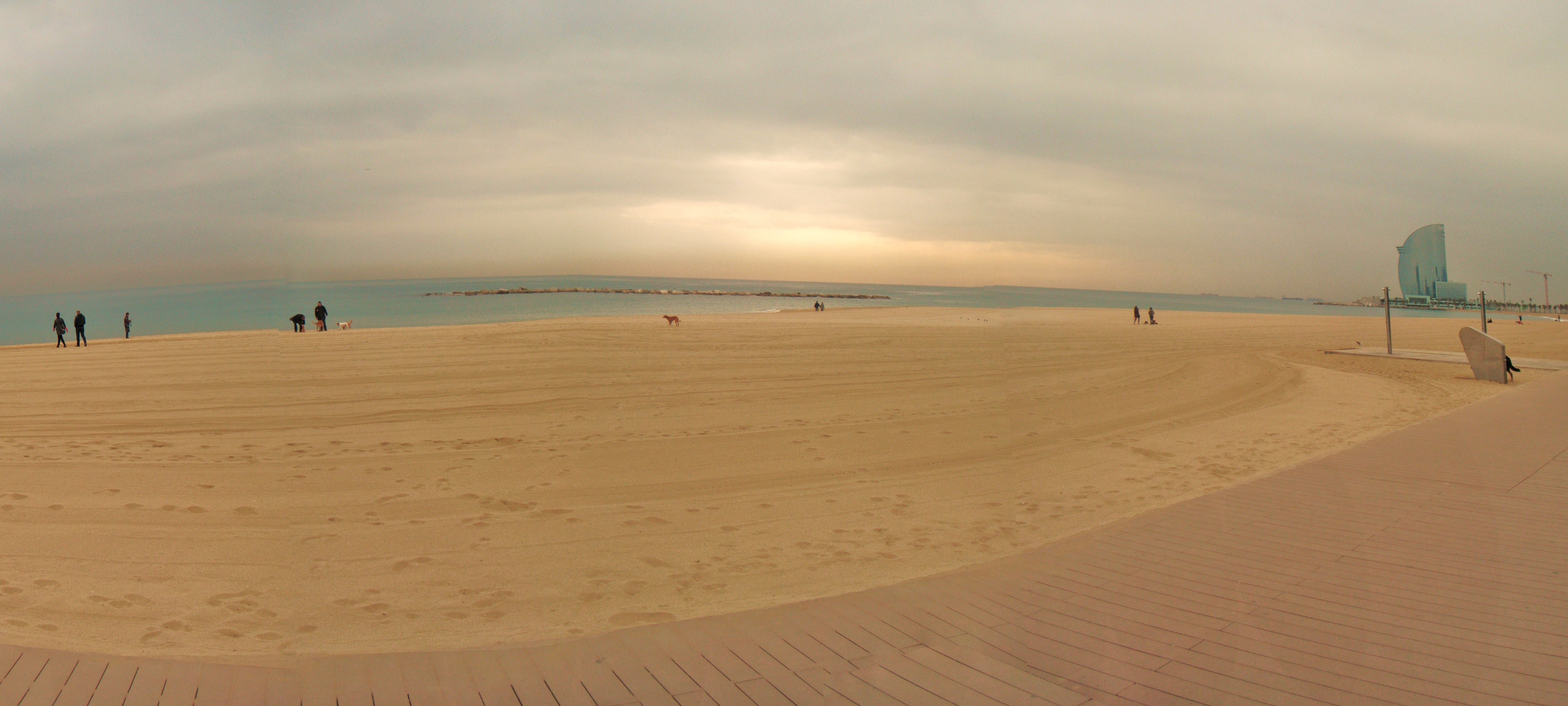
Cervantes Walked This Beach
La Barceloneta's beaches appeared in the second book of Don Quixote, published in 1615, when Cervantes set scenes along this stretch of Mediterranean sand. Four centuries later, the beaches remain the liveliest in Barcelona, packed from dawn to dusk during summer. An aerial tramway opened in 1931 connects the neighborhood to Montjuic across Port Vell, its cable cars swinging above the harbor. The neoclassical La Llotja building, originally constructed in the fourteenth century, houses Gothic-era artworks and neoclassical sculptures. In 1775, it became home to the Real Academia, a fine arts school whose alumni shaped Catalan art for generations. The school eventually became the Reial Academia Catalana de Belles Arts de Sant Jordi in 1989.
The Bomba and the Boardwalk
La Barceloneta's signature dish is the bomba -- a fried ball of potato stuffed with meat, served with either spicy sauce or aioli. Nearly every tapas bar in the neighborhood offers its own version, and ordering one with a cana, a small glass of draft beer, is a local ritual. The boardwalk stretches along the waterfront, lined with small bars and restaurants that stay open late into the night. Barcelona's aquarium sits at the neighborhood's edge, its transparent tunnel letting visitors walk beneath circling sharks. For all the tourism and transformation, La Barceloneta retains what locals describe as the scent of salt and marine life -- a sensory connection to the fishing village it once was, built on land that the sea once owned.
From the Air
Located at 41.38N, 2.19E on Barcelona's Mediterranean waterfront. The neighborhood's distinctive triangular shape is clearly visible from the air, jutting out into the harbor between Port Vell and the open sea. The Port Vell Aerial Tramway cables are visible crossing the harbor. Nearest major airport is Barcelona-El Prat (LEBL), approximately 12 km southwest. Best viewed at 2,000-4,000 feet AGL. The W Barcelona hotel (sail-shaped building) marks the neighborhood's southwestern tip.