La Ceiba
The city takes its name from a tree. In 1872, Manuel Hernandez built a small shack under a giant ceiba -- one of those massive, buttress-rooted tropical trees that can grow over 200 feet tall -- near the docks on Honduras's Caribbean coast. Other settlers followed, drawn by the banana trade and the promise of work, and the settlement that grew around that tree became La Ceiba. The ceiba is long gone, but the city it named is now the fourth most populous in Honduras, with an estimated 209,000 residents, a port that links the mainland to the Bay Islands, and a carnival each May that draws roughly half a million people to dance down Avenida San Isidro. Every Honduran knows the saying: "La Ceiba is La Ceiba." It means what it sounds like -- there is no place quite like it.
Banana Tracks and Barrio Ingles
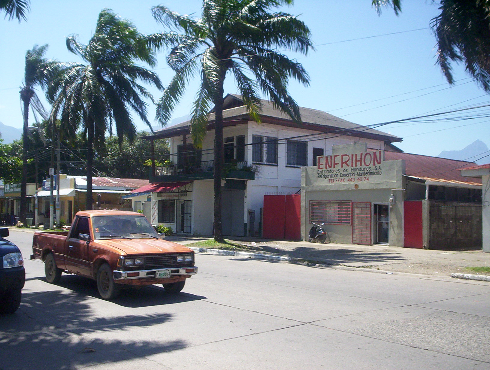
The banana shaped everything. In the late nineteenth century, the Vaccaro Brothers' Standard Fruit Company arrived from New Orleans and began laying railroad tracks from the plantations to the port. The rails ran down what is now Avenida La Republica, and the commerce they carried built the city's first neighborhoods. Barrio Ingles -- the English Quarter -- was named for the many English-speaking workers who settled there. Banco Atlantida, the oldest bank in Honduras, was founded here in 1913. Cerveceria Hondurena, the national brewery and Coca-Cola licensee, started operations in 1918. Mazapan School became the first bilingual institution in the country. The Standard Fruit Company, now a Dole subsidiary, still operates from La Ceiba, and pineapple remains the city's major export. The trains no longer run, but traces of the old railroad tracks can still be seen in the streets, ghosts of the infrastructure that made the city possible.
Three City Halls, All Burned
La Ceiba's relationship with authority has always been combustible. The first municipal building, a wooden structure at the corner of 2da Calle and Avenida Atlantida, was set on fire in 1903 by people who wanted to destroy private property ownership records. The replacement was torched again on March 7, 1914, during a period of social unrest. When the Municipal Corporation relocated its offices further south, those too were burned during upheaval in 1924. Only after the third arson did the city finally build its current headquarters on donated land. The pattern speaks to the tensions that simmered beneath the banana boom -- tensions between foreign companies and local workers, between landowners and the dispossessed, between those who profited from the fruit trade and those whose labor made the profits possible.
The Gran Carnaval
Every year on the third or fourth Saturday of May, La Ceiba erupts. The Gran Carnaval Internacional de La Ceiba honors the city's patron saint, San Isidro Labrador -- Isidore the Laborer -- and it is the largest carnival celebration in Central America. During the week leading up to the main event, individual neighborhoods hold smaller street parties, building anticipation block by block. On Saturday afternoon, elaborate floats roll down Avenida San Isidro, the city's main thoroughfare, followed by dancers, musicians, and roughly half a million spectators who have traveled from across Honduras and beyond. After the parade, the avenue transforms into a continuous open-air party with food stands, beer vendors, and music that does not stop until dawn. Semana Santa -- Holy Week -- brings a second tourist surge, but the carnival is the event that defines La Ceiba's identity as the entertainment capital of Honduras.
Gateway to the Wild
La Ceiba is where Honduras's human geography gives way to its natural one. The port provides daily ferry service to the Bay Islands of Roatan and Utila, whose coral reefs draw divers from around the world. To the south, Pico Bonito National Park -- the country's largest -- rises 2,435 meters from the coastal plain, its cloud forests visible as a green wall behind the city. The Cangrejal River, running along the city's eastern edge, offers Class III-IV whitewater rafting through jungle gorges. To the west, the Cuero y Salado Wildlife Refuge shelters wild manatees in its coastal lagoons. Goloson International Airport connects the city to the remote Mosquitia region in the east, where the Rio Platano Biosphere Reserve preserves one of the last great rainforests in Central America. La Ceiba sits at the center of all of it -- a Caribbean port city backed by mountains, surrounded by wilderness, and fueled by the conviction that the party and the jungle are equally worth the trip.
From the Air
Located at 15.78N, 86.79W on the northern Caribbean coast of Honduras. La Ceiba is visible from altitude as an urban area on the coastal plain between the Caribbean Sea to the north and the Cordillera Nombre de Dios to the south. Pico Bonito (2,435 m) dominates the skyline behind the city. The port and ferry terminal are visible to the east. Best viewed from 2,000-4,000 feet AGL. Nearest airport: Goloson International Airport (MHLC), located on the western edge of the city. The Bay Islands of Roatan (MHRO) and Utila are visible to the north across the Caribbean.