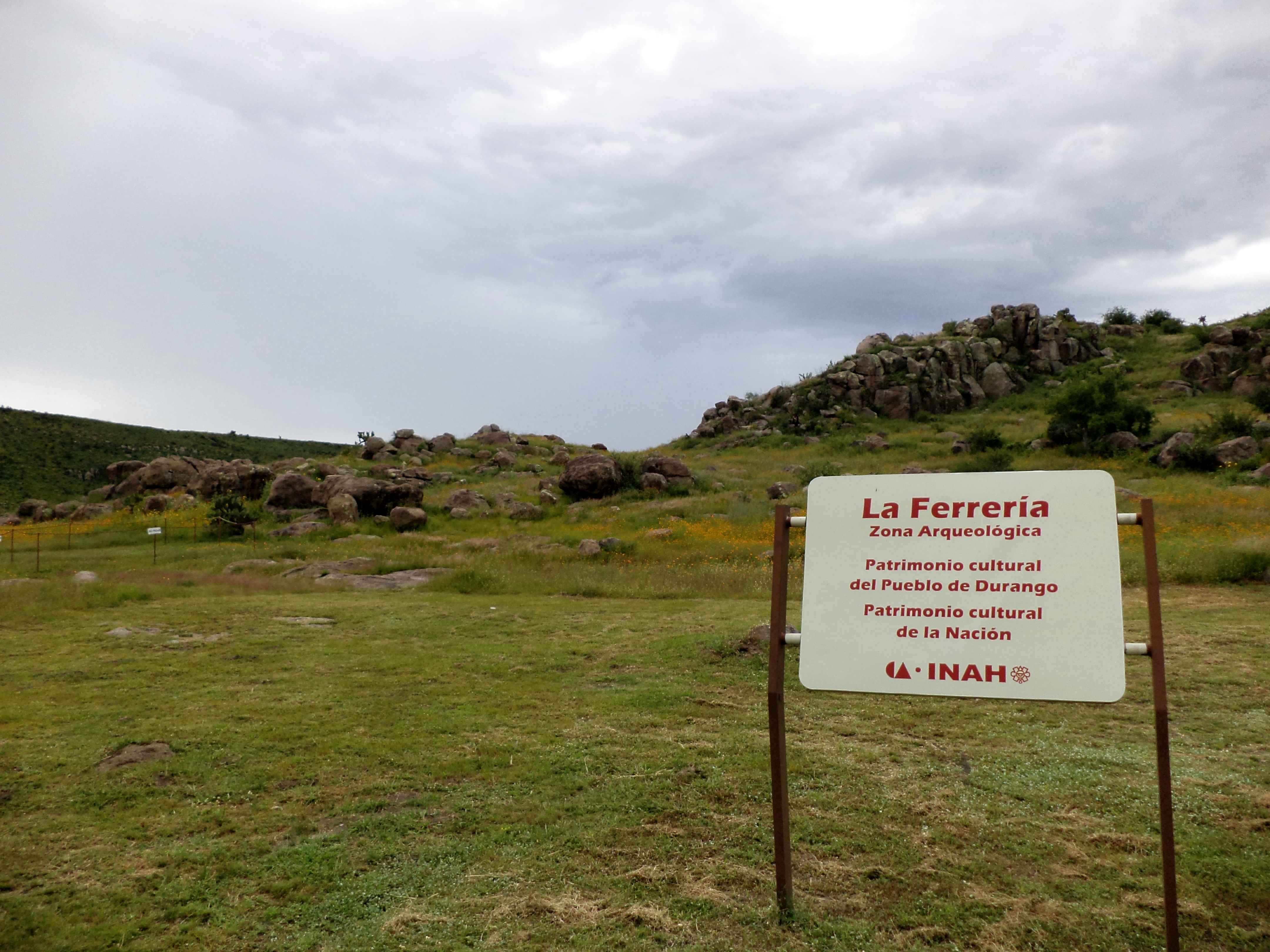
La Ferreria
Seven kilometers south of the city of Durango, on a hill beside the Tunal River, obsidian knives and large ceramic pots lie beneath the mesquite and aloe. La Ferreria is not one of Mexico's famous archaeological sites -- no towering pyramids, no busloads of tourists. But what this modest hilltop reveals is something more unusual: the place where Mesoamerica ended and the American Southwest began, a cultural borderland occupied continuously from roughly 875 to 1450 CE by people who farmed corn, beans, and squash, hunted along the river, and built circular ritual spaces that echo traditions found hundreds of kilometers to the north, at Paquime in Chihuahua.
The Corridor Between Worlds
The Sierra Madre Occidental created a natural corridor that channeled human movement for millennia. Toltec and Nahuatlaca groups moved through this landscape, using the mountain formations as shelter and landmarks. The earliest known settlers at La Ferreria were Nahua peoples who arrived around 600 CE. Over the following centuries, Zacatecan and Tepehuano communities occupied the site, building pyramids, places of worship, and houses. The Huichol, Cora, and Tarahumara peoples established distinct nations along the Sierra's flanks, each with sedentary communities and strong family structures. Only the Acaxee, Humas, and Xiximes maintained a more bellicose existence, warring with neighbors while seeking permanent settlements in the Quebradas region.
Where Oasisamerica Met Mesoamerica
La Ferreria sits at the southern edge of the Mogollon-Anasazi influence zone, which makes it one of the most important cultural crossroads in pre-Columbian North America. Archaeological evidence includes circular ritual spaces, bird bones, and stone rings -- artifacts that suggest connections with the cultures of the American Southwest, particularly Paquime. The site belongs to the Chalchihuites culture, Guadiana branch, which had its most important center at Altavista in Zacatecas and extended northward to El Zape. Whether Mesoamerican cultures migrated northward to create Oasisamerican settlements, or whether the influence flowed in both directions, remains debated. What is clear is that agricultural techniques moved from south to north, and La Ferreria was one of the relay points.
Conquistadors and Archaeologists
Spanish exploration reached this region in 1531 with the Nuno de Guzman expedition. In the following decades, Francisco de Ibarra founded settlements across the territory, naming the vast new province Nueva Vizcaya after his native Basque homeland of Biscay. Silver discoveries drove the colonization, and the indigenous peoples who had built La Ferreria's ritual centers were pushed aside. The Indios Laguneros -- hunter-gatherers who traveled between Durango and Coahuila -- were among those recorded only briefly before being exterminated by Spanish colonists. Today, only small remnant populations of Tepehuanos, Huicholes, Coras, and Tarahumara survive in the region.
The Governor's House and What Remains
The first scientific documentation of La Ferreria came in 1948 from American anthropologist Alden Mason. Four years later, Charles Kelley from the University of Chicago began systematic excavations, removing archaeological pieces and establishing the site's occupation periods between 800 and 1450 CE. The most prominent surviving structure is the Casa de los Dirigentes -- the Governor's House -- with a sunken patio carved into large rocks and the remains of perimeter buildings with original drainage systems. Ceramics found here feature abstract decorations and Catalan-style red banding. Large pots that served as burial vessels and obsidian knives round out the picture of a community that was simultaneously domestic and sacred, practical and ritualistic. A museum near the site, remodeled in 2007, houses many of these artifacts.
From the Air
La Ferreria is located at 23.96N, 104.65W, approximately 7 km south of the city of Durango on the Cerro de La Ferreria beside the Tunal River. The nearest airport is General Guadalupe Victoria International Airport (ICAO: MMDO) in Durango, roughly 15 km to the north. The archaeological site is not easily visible from high altitude but the hill formation near the river is identifiable at 2,000-3,000 ft AGL. Best viewed in clear conditions; the surrounding terrain is semi-arid with mesquite scrub.