La Honda, California
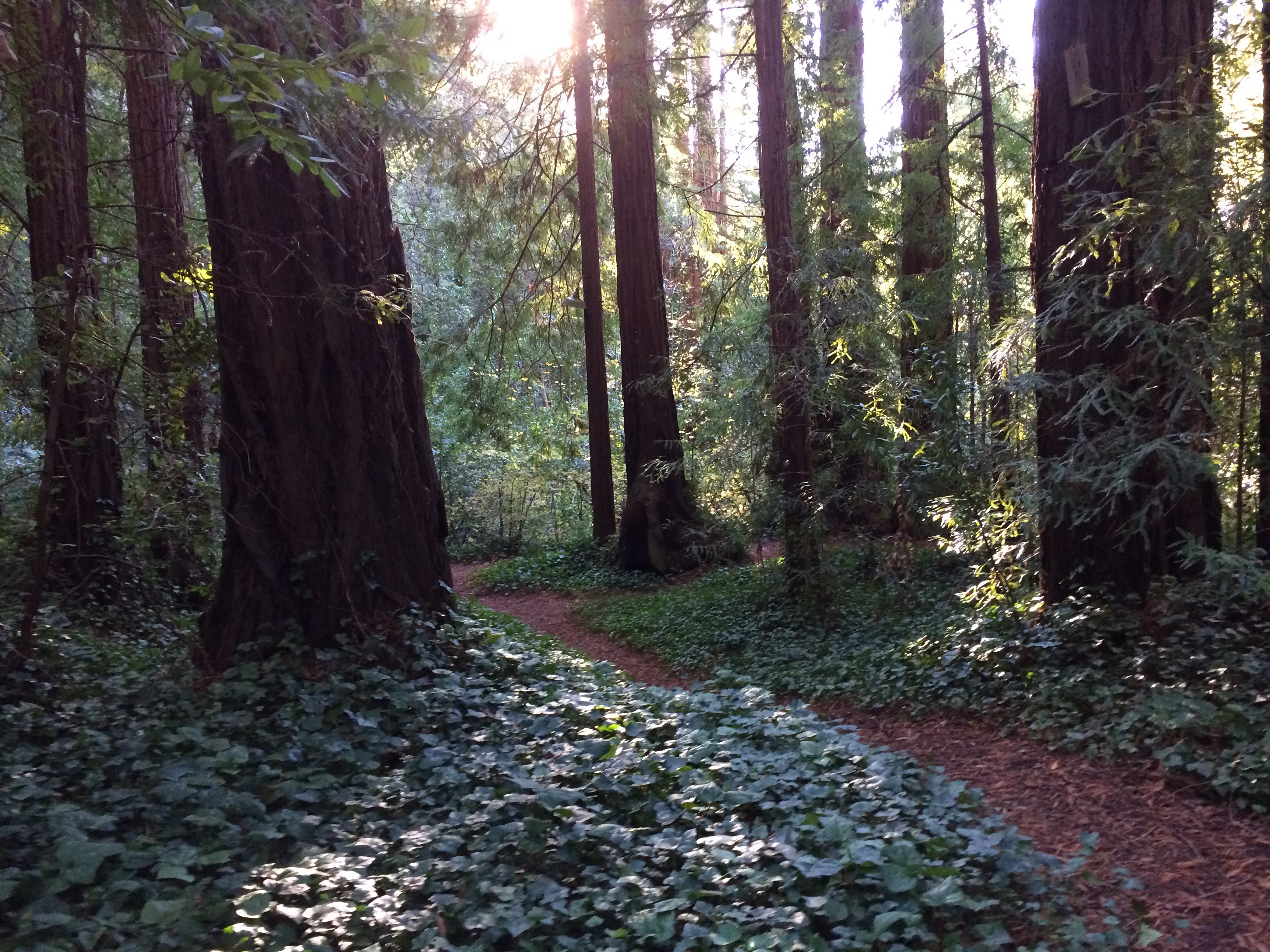
The neon sign glows incongruously among the redwoods: Apple Jack's Inn, La Honda's sole bar, anchoring a community of fewer than a thousand souls in the fog-damp hills of southern San Mateo County. One mile west of that sign, a house that was once the most famous address in the counterculture has been faithfully restored after years of neglect and a near-catastrophic flood in 1998. It was here, in the early 1960s, that Ken Kesey and the Merry Pranksters held the acid tests that Tom Wolfe immortalized in The Electric Kool-Aid Acid Test -- launching a cultural earthquake from a mountain hamlet that most Californians could not find on a map.
Deep Creek, Deep History
La Honda's name comes from the Spanish "honda," meaning sling, though the creek running through town was listed as Arroyo Hondo -- "deep creek" -- on Mexican-era land grant maps. The post office used the name La Honda from 1880, changed it to Lahonda after 1895, then restored the original in 1905. In 1862, John Howell Sears purchased 400 acres and settled here after his prior home in Searsville was sold to a water company due to declining lumber and flooding. The town's elevation ranges from about 300 feet where La Honda Creek meets Alpine Creek to more than 1,200 feet in the surrounding hills, creating microclimates that can leave the valleys fogged in while the ridgetops bask in sunlight.
The Pranksters' Playground
Kesey moved to La Honda in the early 1960s after the success of One Flew Over the Cuckoo's Nest. The remoteness was the point. In this forested hideaway, Kesey and the Merry Pranksters developed the multimedia performances they called acid tests, experiments in consciousness that blended music, light shows, and LSD. Neal Cassady -- the "hyperkinetic driver" of Jack Kerouac's On the Road -- piloted the wildly painted school bus Furthur from these hills. Wolfe's account turned La Honda into a literary landmark. Neil Young and his then-wife Pegi Young later made the town their home, drawn by the same privacy and natural beauty that had attracted Kesey.
Living on Unstable Ground
La Honda receives most of its rain between November and April. El Nino years can bring torrential storms, and the steep terrain makes the area vulnerable to landslides -- Scenic Drive alone has experienced three since 1998. Thermal inversions trap cold air in the valleys on winter nights, creating frost in the lowlands while higher elevations stay mild. The town has one school, La Honda Elementary. It holds a fair and music festival every June and a Fourth of July picnic at Play Bowl. With about 420 households and a median age of nearly 49, La Honda remains a community defined by its geography: isolated enough to attract people who want to be left alone, beautiful enough to keep them, and unstable enough to remind them that the mountains are always in charge.
From the Air
La Honda is at 37.32°N, 122.27°W in the Santa Cruz Mountains of San Mateo County. The town is nestled in a heavily forested valley along La Honda Road (CA-84). The road winding through redwoods from Woodside to the coast is visible from the air. Nearby airports: Half Moon Bay (KHAF), San Carlos (KSQL). Best viewed at 3,000-5,000 ft AGL.