La Honda Creek Open Space Preserve
The red barn still stands. Remnants of nineteenth-century sawmills lie scattered in the underbrush. Until 2023, a log cabin from the 1920s occupied a clearing before it was finally removed. The La Honda Creek Open Space Preserve, part of the Midpeninsula Regional Open Space District in San Mateo County, wears its history visibly -- each era leaving structures or ruins that the next one absorbed without entirely erasing. The land was Ohlone territory first. In the 1800s, it became part of Rancho San Gregorio under Mexican governance. By 1865, loggers were cutting the redwoods. Now the preserve protects what remains, from the regenerated forests to the grasslands where cattle still graze.
Layers of Occupation
The Ohlone people were indigenous to this area, living along the creeks and harvesting the acorns that the region's oak woodlands produced in abundance. When Mexico governed California, the land was absorbed into the rancho system, part of the vast land grants that parceled the Peninsula among a small number of families. American acquisition brought logging. The sawmills that operated from 1865 onward stripped the old-growth redwoods, sending lumber down the mountains to build the cities and towns of the growing Bay Area. What stands today is second-growth forest, the redwoods having regenerated over the century and a half since the saws fell silent.
Watershed and Woodland
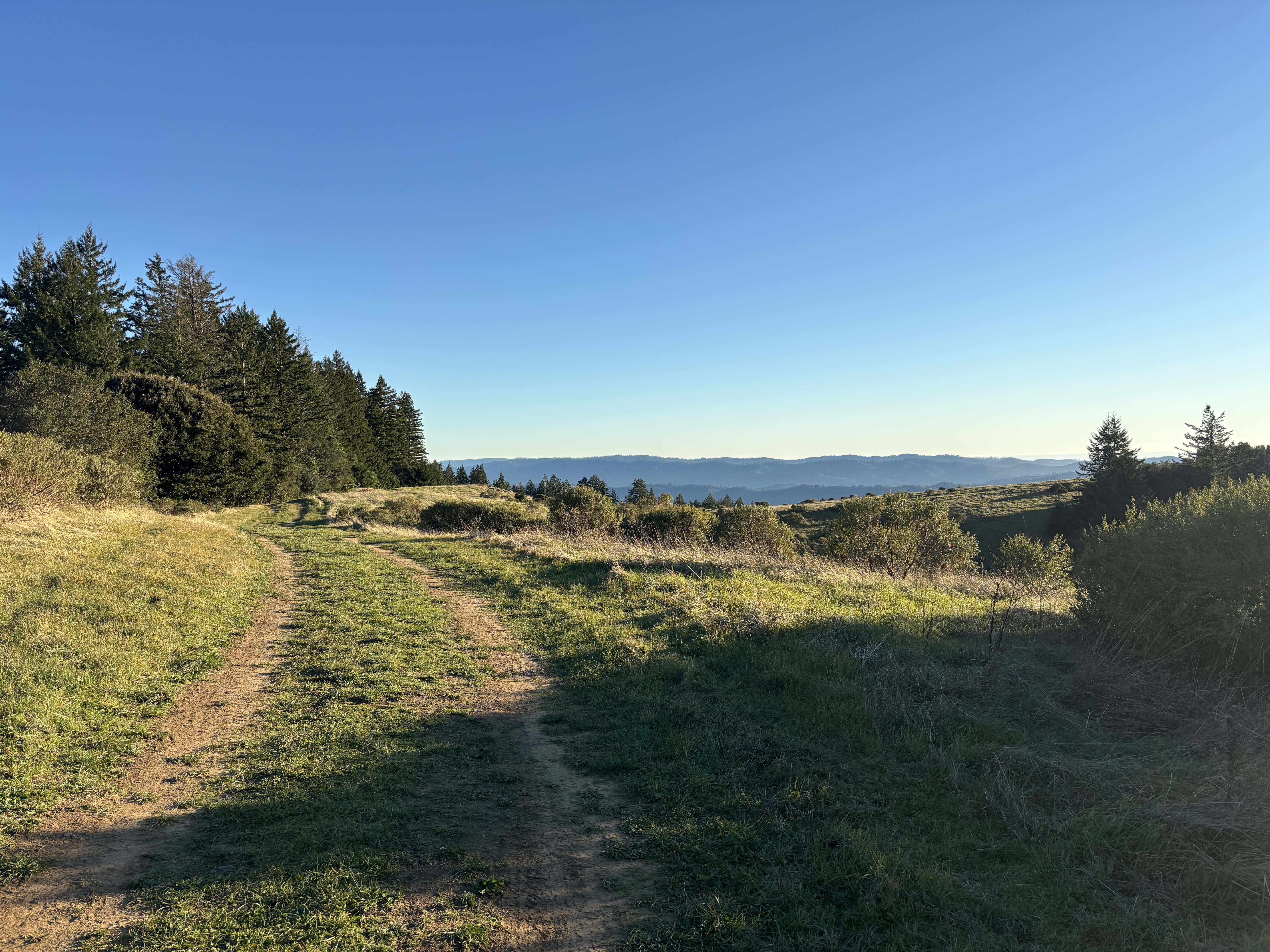
Much of Bogess Creek's watershed and portions of La Honda Creek's are contained within the preserve, creating a protected corridor where water flows from ridge to valley largely unimpeded by development. The landscape ranges from dense redwood forest in the creek bottoms to open grassland on the ridgetops, with oak woodland and chaparral filling the transitions between. Some sections remain actively used for cattle grazing, a practice that connects the preserve to its ranching past while managing grassland vegetation. The preserve opened to public access in 2017, making it one of the newer additions to the Midpeninsula Regional Open Space District's network of protected lands on the Peninsula.
Quiet Persistence
The preserve does not have the dramatic waterfalls or summit views that draw hikers to more celebrated parks. Its value is subtler: a functioning watershed, recovering forest, and the archaeological traces of the people who shaped this landscape before it became open space. The red barn from a former ranch operations stands as a reminder of the agricultural era. The sawmill remnants recall the logging that cleared the original forest. Walking through the redwoods today, it takes imagination to picture these hills stripped bare, but the stumps of the old-growth trees are still visible among their descendants. In a region where change happens at the speed of a product launch, La Honda Creek Open Space Preserve moves at the pace of regrowth.
From the Air
La Honda Creek Open Space Preserve is at 37.37°N, 122.27°W in the Santa Cruz Mountains of San Mateo County. The preserve's mix of grasslands and redwood forest is visible from altitude as a green corridor in the hills west of Interstate 280. Nearby airports: Half Moon Bay (KHAF), San Carlos (KSQL). Best viewed at 3,000-5,000 ft AGL.