La Perouse Strait
Japan's territorial waters extend twelve nautical miles from its coastline everywhere in the country except here. In La Perouse Strait, the boundary shrinks to just three miles. The reason has never been officially confirmed, but it is widely understood: the narrower claim creates a corridor of international waters through which nuclear-armed United States Navy vessels can transit without technically entering Japanese territory, preserving Japan's constitutional prohibition on nuclear weapons while allowing its most powerful ally to move freely between the Sea of Japan and the Sea of Okhotsk. It is a legal fiction disguised as a line on a chart, and it defines the character of this 42-kilometer-wide passage between Russia and Japan.
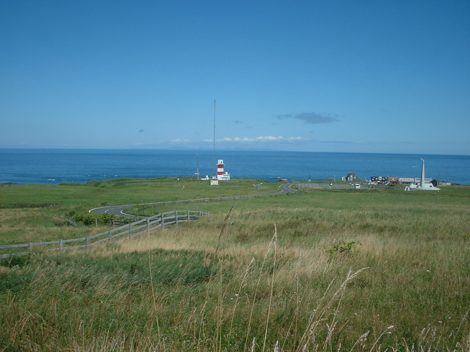
The Navigator's Strait
The strait takes its Western name from Jean-Francois de Galaup, comte de Laperouse, a French naval officer who explored it in 1787 during a round-the-world voyage commissioned by Louis XVI. The Japanese call it Soya Strait, after Cape Soya on Hokkaido's northern tip. At its narrowest, between Cape Krillion on Sakhalin's southern end and Cape Soya, the passage is just 42 kilometers wide and only 60 meters deep. A small rocky outcrop named Kamen Opasnosti, Russian for Rock of Danger, lurks in the northeastern waters eight miles southeast of Cape Krillion, a hazard that has justified its name for centuries. On the Japanese side, the tiny island of Bentenjima clings to the coast near Wakkanai. Between these points, the strait funnels currents, weather, and geopolitical tension through one of the most strategically significant waterways in the North Pacific.
When Whalers Passed Through
For nearly half a century, La Perouse Strait served as a seasonal highway for the American whaling fleet. Between 1848 and 1892, whaleships transited the passage each spring and summer, moving from right whale hunting grounds in the Sea of Japan to the Sea of Okhotsk in pursuit of right and bowhead whales. The passage was not without peril. In 1848, the David Paddack, a 352-ton whaleship out of Nantucket under Captain Swain, wrecked in the strait while homeward bound with a full cargo of whale oil. The whaling era in these waters ended not because of the strait's dangers but because the whales themselves were hunted to near extinction, a pattern repeated across every ocean the whalers reached.
Where Wahoo Rests
On October 11, 1943, the American submarine USS Wahoo attempted to exit the Sea of Japan through La Perouse Strait after a devastating patrol in which she had sunk four ships totaling roughly 15,000 tons, including the Konron Maru with the loss of 544 lives. Japanese antisubmarine forces, enraged by the sinkings and already on alert after depth-charging another American submarine days earlier, were waiting. An aircraft spotted a wake and oil slick from a submerged vessel and initiated a combined air and sea attack. Bombs and depth charges fatally holed the submarine, and Wahoo sank with all eighty hands. For over six decades, she lay undiscovered. In 2006, a Russian dive team called Iskra located the wreck intact in about 213 feet of water. The U.S. Navy confirmed the identification on October 31, 2006, and in July 2007 conducted a wreath-laying ceremony at the site with the Russian Navy.
The Cold War Chokepoint
During the Cold War, La Perouse Strait became one of the most watched waterways on Earth. Soviet naval vessels transiting between Vladivostok and the Pacific had to pass through here or through other narrow straits in the Kuril Islands chain, all of them monitored by Japanese and American intelligence. The strait's shallow depth, barely 60 meters at its shallowest, made submarine transits especially risky. Japan maintained listening posts along the Hokkaido coast, and the Soviet Union fortified Sakhalin's southern tip. When Soviet interceptors shot down Korean Air Flight 007 over nearby Moneron Island on September 1, 1983, after the Boeing 747 strayed into restricted airspace, the incident underscored how tightly wound tensions were in this corridor. The strait was not merely a geographic feature; it was a trigger.
A Bridge or a Tunnel
Plans have been proposed, shelved, and revived to physically connect the two sides of La Perouse Strait. The most ambitious is the Sakhalin-Hokkaido Tunnel, which would run beneath the seabed and link Japan's rail network to the Trans-Siberian Railroad, making it theoretically possible to travel from Tokyo to London by train. A bridge has also been suggested. Neither project has advanced beyond the planning stage, held back by enormous engineering costs, seismic risks, and the political complexities of building permanent infrastructure between Russia and Japan, two nations that have never signed a peace treaty formally ending World War II. For now, La Perouse Strait remains what it has been since Laperouse sailed through in 1787: a passage defined by what it separates as much as what it connects.
From the Air
Located at 45.72°N, 142.03°E between the southern tip of Sakhalin (Russia) and the northern tip of Hokkaido (Japan). The strait is 42 km wide at its narrowest point between Cape Krillion and Cape Soya. Nearest airports: Wakkanai (RJCW) on the Japanese side, Yuzhno-Sakhalinsk (UHSS) on the Sakhalin side. Kamen Opasnosti (Rock of Danger) is visible as a small rocky outcrop in the strait. USS Wahoo wreck site lies in approximately 213 ft of water. Recommended viewing altitude: 15,000-25,000 ft for full strait panorama.