Lacandon Jungle
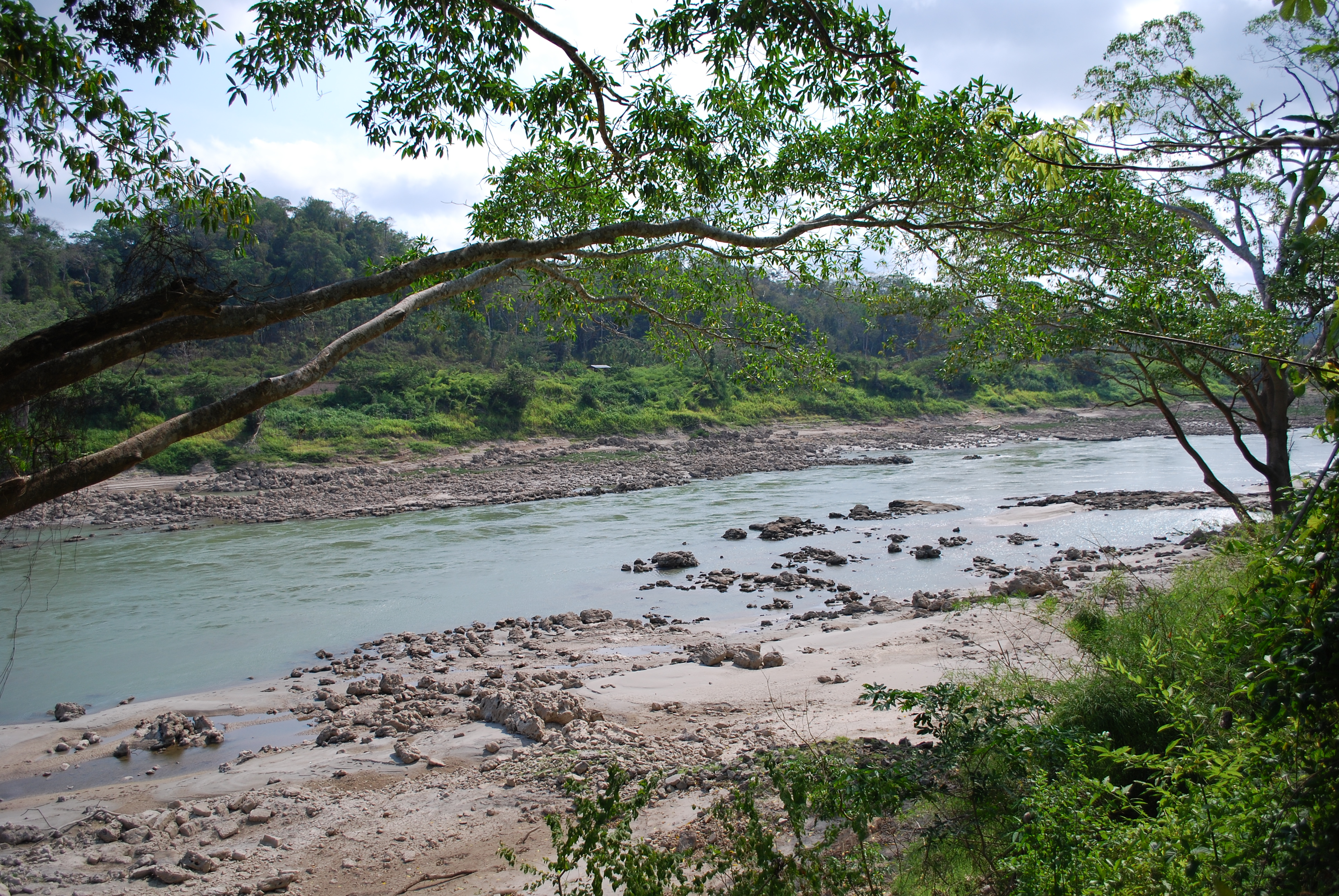
Local lore says the gods lived here when they still walked the earth. The Lacandon Jungle -- Selva Lacandona -- sprawls across 1.9 million hectares of southeastern Chiapas and into northern Guatemala, a canopy so dense and continuous that the Usumacinta River, Mexico's largest by volume and the seventh largest in the world, can vanish beneath the green when seen from above. One quarter of all Mexico's species diversity is packed into this single forest. It shelters 1,500 tree species, a third of the country's birds, more than half its diurnal butterflies, and archaeological ruins that have been accumulating since the Classic Maya period over a thousand years ago.
Temples in the Canopy
Palenque sits at the jungle's northwestern edge, where the Eastern Mountains meet the Gulf Coast Plains. Its Temple of Inscriptions, Temple of the Sun, and Temple of the Cross rank among the finest Maya architecture ever built, yet only a fraction of the site has been excavated. Deeper in the forest, Yaxchilan is accessible only by boat along the Usumacinta. More than 120 inscriptions cover its monuments, and its carved stone lintels spanning temple doorways are considered masterpieces of narrative relief sculpture. Howler monkeys crash through the canopy above the Central, West, and South Acropolis complexes. Bonampak, whose name translates to "painted murals," preserves vivid frescoes of Maya court life and warfare. Tonina takes a different form entirely -- not a cluster of pyramids but a series of progressively smaller terraces climbing a mountainside, its carved stones documenting the social strata of an entire community. Tenam Puente, near Comitan de Dominguez on the jungle's western edge, was built as a hilltop fortification with 160 thick-walled buildings accessible by ramps.
The People the Forest Kept Hidden
The modern Lacandon Maya number somewhere between 600 and 1,000 people, scattered across roughly a dozen villages including Naja, Lacanja Chansayab, and Metzobok. Their origins are tangled. The original Lakandon Ch'ol -- a Cholan-speaking people who lived along tributaries of the upper Usumacinta -- were forcibly relocated to the Huehuetenango region of Guatemala by the Spanish in the early eighteenth century. They were absorbed into local Maya populations and ceased to exist as a separate ethnicity. A mysterious group called the Xocmo occupied the remote forest to the east; they were never conquered and escaped every Spanish attempt to find them. After the fall of the Itza capital Nojpeten in 1697, refugees from the Itza, Kejache, and Kowoj peoples fled into the Lacandon Jungle, where they became ancestors of the people who carry the Lacandon name today. The forest did what no army could: it kept them beyond reach.
A Forest Burning from the Edges
Deforestation began in the mid-nineteenth century with loggers and chicleros -- workers who tapped trees for the sap used to make chewing gum. By the 1940s, much of the old-growth forest outside the core had been destroyed. Migration from the overcrowded Chiapas highlands accelerated in the 1960s and 1970s, bringing Tzeltal Maya farmers who cleared forest for corn, beans, and chili peppers organized under the ejido communal land system. The Tzeltal now number about 15,000 in the town of Nueva Palestina alone. Cattle ranching compacts the soil so severely that abandoned pasture cannot revert to rainforest. The Montes Azules Biosphere Reserve, established to protect 331,200 hectares -- one-fifth of the original Chiapas rainforest -- became the last major stronghold, but even it is contested ground.
Zapatistas, Conservation, and the Fight Over Who Protects What
The Lacandon Jungle is a political tinderbox. The EZLN -- the Zapatistas -- and their indigenous allies want to farm reserve land, arguing that indigenous farmers are the forest's best protectors and proposing an "Indian Farmers' Reserve" of interspersed farms and jungle. International environmental organizations and the Lacandon Maya, who hold legal title to most of Montes Azules, oppose agricultural encroachment. The Mexican government has supported REDD+ payments, which compensate communal landowners for keeping forests intact. In 2011, over 600 communal farmers from Frontera Corozal, a Ch'ol town on the Guatemalan border, entered a REDD+ agreement creating seven reserves on their lands in exchange for cash payments and assistance with tourism and oil palm cultivation. But the Zapatistas and allied NGOs denounce REDD as commodifying indigenous culture. Meanwhile, illegal settlements have been dislodged by police and military as recently as 2010. The jungle's biodiversity is globally significant -- Conservation International designated it a hotspot, and it forms part of the Mesoamerican Biological Corridor linking reserves from the Isthmus of Tehuantepec through Central America -- but conservation here is inseparable from questions of who owns the land and who has the right to live on it.
From the Air
Located at approximately 16.46N, 91.16W. The Lacandon Jungle is visible from altitude as a vast expanse of unbroken canopy stretching across southeastern Chiapas into Guatemala, bisected by the Usumacinta River along the international border. Nearest airports are Palenque International Airport (MMPQ) to the north and Tuxtla Gutierrez Angel Albino Corzo International Airport (MMTG) to the west. The Montes Azules Biosphere Reserve forms the dense green core visible from cruising altitude. Terrain is mountainous with deep canyon-like valleys called Canadas.