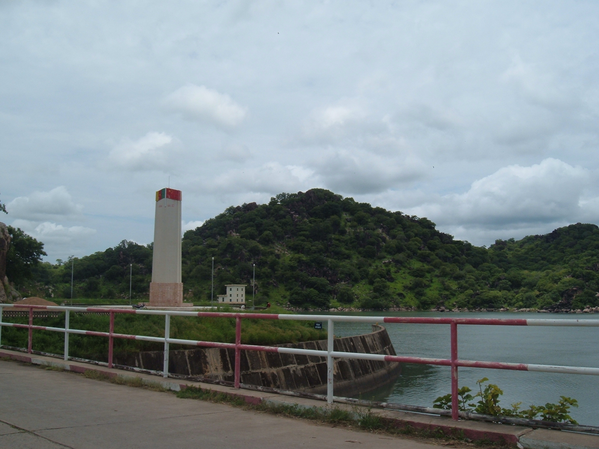
Lagdo Reservoir
In 2012, when operators opened the gates of the Lagdo Dam in northern Cameroon, the water that surged down the Benue River did not stop at the border. It flooded Adamawa State in Nigeria, killed more than ten people, submerged over 10,000 homes for two weeks, drowned more than 10,000 hectares of farmland, and sent crocodiles swimming through the streets of Makurdi, hundreds of kilometres downstream. This was not the first time. It would not be the last. The Lagdo Reservoir -- 586 square kilometres of impounded water sitting 50 kilometres south of the city of Garoua -- is among the most consequential and contentious pieces of infrastructure in West Africa. Built to power Cameroon's north, it has become a recurring source of devastation for its neighbour.
Chinese Engineers, Cameroonian Ambitions
Construction began in August 1977 and finished in July 1982. The China International Water & Electric Corporation managed the project, deploying Chinese engineers alongside Cameroonian labourers to build a dam 308 metres long, 40 metres high, and 9 metres thick across the Benue River. The reservoir behind it holds a potential 7.7 billion cubic metres of water. The purpose was twofold: supply electricity to Cameroon's underpowered northern provinces and irrigate 15,000 hectares of cropland downstream. International power company AES Corporation took over operation of the hydroelectric facility. For Cameroon, the Lagdo Dam represented modernization -- lights for Garoua, water for farms, a statement that the north would not be left behind. But the Benue River does not end at the Cameroonian border. It flows east into Nigeria, through Adamawa State, past Makurdi, and onward to its confluence with the Niger. Whatever Cameroon released, Nigeria received.
The Dam That Was Never Built
Both countries understood the risk from the beginning. The original agreement was straightforward: Cameroon would build the Lagdo Dam, and Nigeria would construct the Dasin Hausa Dam downstream to regulate the flow and buffer against sudden releases. The Dasin Hausa Dam was also intended to generate electricity and support irrigation in northern Nigeria. Decades passed. Studies were conducted, budgets allocated, and political speeches delivered. The Nigerian Senate renewed calls for the project's completion as recently as November 2023. But the Dasin Hausa Dam has never been built. Bureaucratic inefficiency, inconsistent funding, and shifting political priorities have kept it perpetually on the drawing board. The result is a lopsided system: Cameroon controls the valve, and Nigeria absorbs the consequences. When the reservoir fills beyond safe capacity and operators open the spillways, there is nothing downstream to catch the surge.
Crocodiles in the Streets
The floods come with grim regularity. In September 2022, operators began releasing water to protect the dam's installations, and the downstream consequences were severe: 25 people died in Adamawa State alone, farmland was submerged across 13 Nigerian states, and communities along the lower Benue scrambled to evacuate. Nigeria's Minister of Water Resources pushed back, stating that 80 percent of the country's flooding was caused by rainfall, not the Lagdo Reservoir, pointing to tributaries like the Katsina Ala River as culprits. The truth, as experts note, is both: heavy rains fill the Benue basin while dam releases amplify the flooding beyond what communities can absorb. Sediment accumulation has reduced the reservoir's capacity over the years, meaning it reaches dangerous levels faster and requires more frequent releases. For the families whose homes flood repeatedly, the distinction between causes offers little comfort.
Warning Systems and Unfulfilled Promises
In the absence of a structural solution, Nigeria has turned to mitigation. The Nigeria Hydrological Services Agency monitors dam releases and issues alerts. The National Emergency Management Agency coordinates evacuations and distributes relief. In 2024, the federal government approved 108 billion naira for nationwide flood prevention projects, including dam maintenance and river dredging. Joint committees between Cameroon and Nigeria now share hydrological data to improve early warning coordination. But these measures are reactive by design. States along the Benue urge residents to heed evacuation warnings, though many refuse to leave -- their farmland and livelihoods are tied to the very floodplain that threatens them. Experts continue to argue that only completing the Dasin Hausa Dam will address the root cause. For now, every rainy season brings the same anxious calculation: how full is Lagdo, how much rain has fallen, and how fast can the water reach the border.
From the Air
Located at 8.88N, 13.83E in northern Cameroon, approximately 50 km south of Garoua. The reservoir covers 586 square kilometres and is clearly visible from cruising altitude as a large body of water on the Benue River. The dam structure (308m long, 40m high) is at the northern end. Garoua Airport (FKKR) is the nearest major airfield. The Benue River flows east from the reservoir into Nigeria, passing through Yola (DNYO) and continuing to Makurdi. The transboundary nature of the Benue basin is evident from altitude, with the river crossing from Cameroon into Nigeria's Adamawa State.