Laguna de La Restinga National Park
The boat captain cuts the engine and lets the current pull you into a corridor of mangroves. The roots arch overhead, tangled and dripping, blocking the sun until the channel opens into a pool so clear you can see starfish on the bottom. Oysters cling to the submerged roots in clusters. A great blue heron lifts off from a branch ten meters ahead, and a frigate bird circles high above the canopy. This is Laguna de La Restinga, a 10,700-hectare national park on Margarita Island where a salt-water lagoon, a maze of mangrove channels, and a 15-kilometer beach exist in a delicate balance between Caribbean Sea and Venezuelan desert.
The Sandbar That Holds Everything Together
The park's geography is simple and precarious. A thin sandbar separates the lagoon from the open Atlantic, creating a protected body of salt water where mangroves can thrive in what is otherwise a semi-arid landscape. The lagoon itself covers 2,500 hectares of the park's total area. On the barrier island, buttonwood mangroves dominate, while the swamps connected to the mainland support forests of red, black, and white mangrove. Between the mangrove islands, navigable channels wind through the vegetation -- narrow enough in places that tour boats barely squeeze through. At one end of the park, the sandbar opens to the sea, and Playa La Restinga stretches 15 kilometers along the coast, making it the longest beach on Margarita Island.
Creatures Found Nowhere Else
Margarita Island's isolation has produced a handful of species that exist only here, and several of them depend on the park. A subspecies of white-tailed deer, found nowhere else on earth, browses in the scrubland at the lagoon's edge. An endemic subspecies of cottontail rabbit shares the habitat, along with a species of thread snake unique to the island. In the lagoon and surrounding waters, red snapper, gruntfish, sardines, and black mullets sustain both the local ecosystem and the fishing families who have harvested them for generations. Oysters cling to mangrove roots in such abundance that beach vendors sell them fresh to visitors. Colorful starfish settle in the clear-water pools between mangrove stands, motionless and vivid against the sandy bottom.
Wings Over the Lagoon
The park is, above all, a place for birds. Herons stalk the shallows in the early morning. Pelicans crash-dive into open water. Cormorants dry their wings on exposed roots while egrets stand motionless in the channels, waiting. Flamingos wade through the deeper parts of the lagoon, their pink bodies startling against the dark mangrove backdrop. Frigate birds, with their distinctive forked tails and inflatable red throat pouches, patrol overhead. Gulls work the beach. The lagoon functions as a nursery, a feeding ground, and a refuge -- one recognized internationally as a Ramsar wetland site, marking it as a place of global ecological importance. The park was established in 1974 as part of Venezuela's national parks system, protecting this lagoon and its surrounding landscape from the resort development that has consumed much of the rest of Margarita Island.
Between Desert and Sea
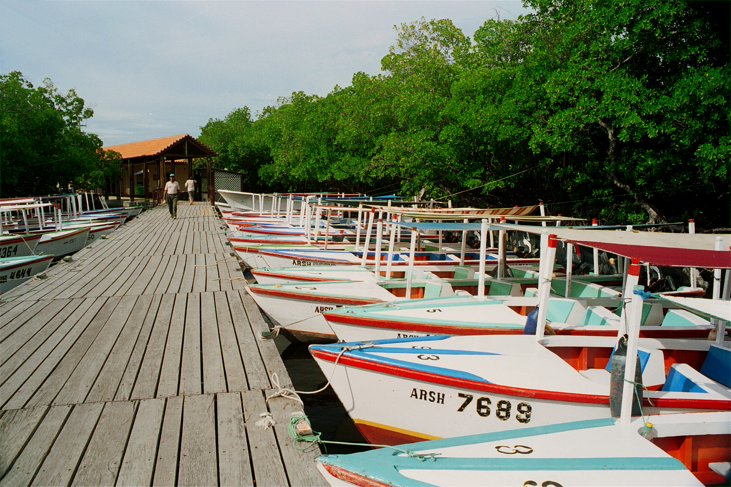
Despite its lush mangrove channels, La Restinga exists in a climate that verges on desert. Average annual rainfall is just 300 to 400 millimeters. Daytime temperatures regularly exceed 30 degrees Celsius under intense Caribbean sunshine. Beyond the mangrove fringe, the vegetation shifts abruptly to thorny shrubs, dry grasses, and solitary cacti -- a reminder that this park occupies a razor-thin margin between water and aridity. Tour boats depart from the park's dock, small vessels with covered canopies that carry visitors through the mangrove maze while captains point out wildlife. For a dollar's entry fee, the park offers access to an ecosystem that feels like a hidden world, separated from the sun-baked island outside by just a few meters of mangrove canopy. The contrast is the point. Everything alive here depends on the lagoon, and the lagoon depends on the sandbar, and the sandbar depends on currents and storms that could reshape it overnight.
From the Air
Located at 10.99°N, 64.14°W on the western side of Isla Margarita, connecting the island's two mountainous halves via a narrow sandbar. From the air, the lagoon is unmistakable -- a large body of dark water separated from the open ocean by a thin strip of white sand. The mangrove channels appear as a dense green maze within the lagoon. The nearest airport is Santiago Mariño Caribbean International Airport (SVMG) near Porlamar, approximately 25 km to the east. Best viewed at moderate altitude where the contrast between the turquoise Caribbean, white sandbar, dark lagoon, and green mangroves is most dramatic.