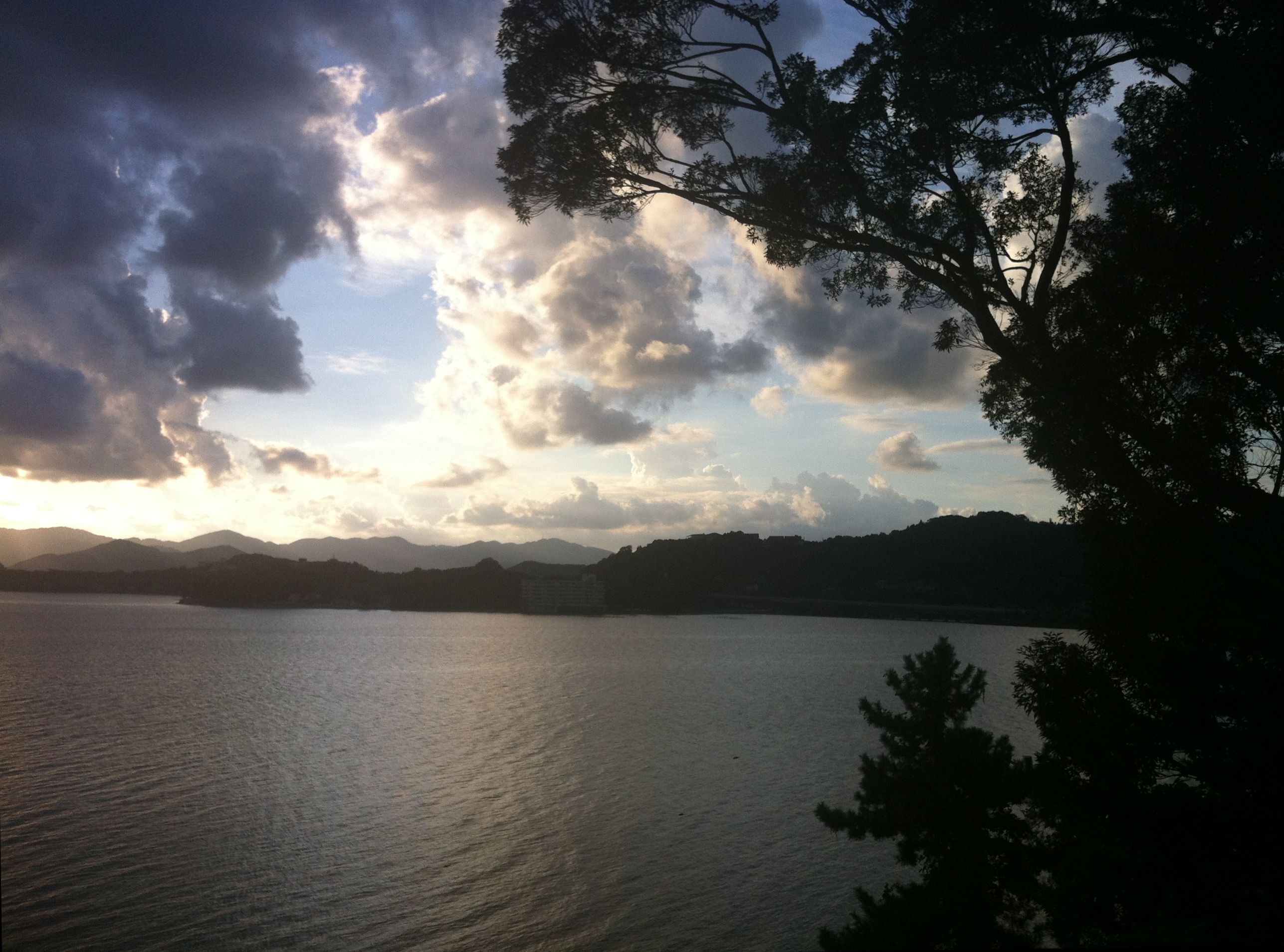
Lake Hamana
For thousands of years, a sandbar held back the Pacific. Lake Hamana sat behind it, a closed freshwater system fed by streams draining the Mikatagahara plateau, separated from the ocean by a narrow strip of sediment. Then, on September 20, 1498, the Meio Nankaido earthquake, estimated at magnitude 8.2 to 8.4, struck along the Nankai Trough. The resulting tsunami tore through the sandbar, ripping open a channel roughly 200 meters wide. Seawater poured in. In a geological instant, Lake Hamana was no longer a lake in the traditional sense. It became a brackish lagoon, a hybrid world where freshwater and saltwater mix, and it has remained that way for more than five centuries.
An Earthquake Rewrites the Map
Before 1498, Lake Hamana was entirely landlocked, connected to the inland river system but sealed off from the open ocean. The Meio Nankaido earthquake changed the coastline of central Japan in a single afternoon. The breach it created, known as the Imagire Inlet, has never closed. Tidal flows now push seawater into the lake twice daily, sustaining a brackish ecosystem unlike any other inland water body in the region. The lake covers 65 square kilometers, with a circumference of 114 kilometers and a maximum depth of 16.6 meters. Its surface sits at sea level. The transformation created a body of water that is technically Japan's tenth-largest lake by area, though calling it a lake requires some generosity given that the Pacific Ocean laps at its southern edge.
The Eel Capital of Japan
The brackish waters that the earthquake created turned out to be ideal for something no one could have predicted: farming eels. In 1891, an entrepreneur named Kurajiro Hattori from Tokyo's Fukagawa district determined that Lake Hamana's warm climate and the meeting of fresh and salt water made it perfect for raising unagi, the freshwater eel that is one of Japan's most prized delicacies. The industry exploded. By the late 1960s, eel farms around Lake Hamana accounted for roughly 70 percent of Japan's total farmed eel production, with nearly 480 farms ringing the lake's shores. The combination of abundant groundwater from the Mikatagahara plateau, warm average temperatures around 15 degrees Celsius, and easy access to migrating glass eels gave Hamamatsu's farmers an edge no other region could match. Today, cheaper imports from China and Taiwan have reduced the number of active farms to around 30, but Lake Hamana eels remain synonymous with premium quality. Restaurants specializing in grilled unagi cluster around the lake, and Hamamatsu is still considered the spiritual home of Japanese eel cuisine.
Thirty-First Stop on the Tokaido
Long before eels made it famous, Lake Hamana was a landmark on Japan's most important highway. The Tokaido road, connecting Kyoto with Edo (modern Tokyo), passed directly along the lake's southern shore. Maisaka-juku, the 30th of the Tokaido's 53 post stations, sat on the eastern bank, and travelers boarded boats to cross the lake to Arai-juku on the other side, avoiding a lengthy detour inland around the lake's 114-kilometer shoreline. The great ukiyo-e artist Utagawa Hiroshige immortalized this crossing in his 1833 woodblock print series The Fifty-Three Stations of the Tokaido, depicting boats on the water with Mount Fuji small in the distance. The print captures a Lake Hamana that was already a brackish body of water, three centuries after the earthquake had permanently altered its character.
Tanks, Torii, and Tides
Lake Hamana's modern history carries its own surprises. At the close of World War II, the Japanese military dumped two experimental Type 4 Chi-To medium tanks into the lake to prevent their capture by American occupation forces. The U.S. Army recovered one, but the second remains somewhere on the lakebed. In 2013, a search effort attempted to locate the missing tank but came up empty. The lake keeps its secrets. Above the surface, a vermilion torii gate rises from the water near Bentenjima, a small island on the lake's southern shore that has become one of Hamamatsu's most photographed landmarks. A cycling road traces nearly the entire 114-kilometer circumference, winding past hot spring resorts, fishing piers, and stretches of coastline where the boundary between lake and ocean dissolves entirely. The tidal channel at Imagire Inlet, still flowing more than five centuries after the earthquake that created it, serves as a constant reminder that landscapes are never as permanent as they appear.
From the Air
Lake Hamana is located at 34.74°N, 137.57°E in western Shizuoka Prefecture, clearly visible from altitude as a large irregular body of water with a narrow channel connecting it to the Pacific Ocean at its southern end (Imagire Inlet). The lake covers 65 km2, making it an unmistakable landmark. The city of Hamamatsu lies to the east, and Kosai to the west. The Tokaido Shinkansen line runs along the lake's southern shore. Look for the distinctive branching inlets on the lake's northern side. Nearby airports include RJNS (Hamamatsu Air Base) to the east and RJAF (Chubu Centrair, approximately 90 km west). Best viewed at 5,000-8,000 feet to appreciate the lake's full shape and its connection to the ocean.