Lake Hauroko
The wind names this lake before you see it. Hauroko - 'soughing of the wind,' 'sounding wind' - is how Maori described what they heard here, and the description holds. The lake sits deep in Fiordland National Park, an S-shaped body of water 32 kilometres long and 462 metres deep, making it the deepest lake in New Zealand. A 30-kilometre road from the small settlement of Clifden, built around 1909 and improved in the 1960s, provides the only access by land. Prior to 1930, maps labelled it Lake Hauroto, a name that drifted away like the clouds that gather along its shores. What did not drift away was the lake's most remarkable secret, hidden for centuries in a cave on a small island at its center.
The Lady of the Lake
In 1967, explorers on Mary Island - the lake's largest island, named in 1883 after the wife of government surveyor John Hay - discovered a cave on the eastern shore containing a Maori burial. Seated upright on a bier of sticks and leaves, wearing a flax cloak with a dog skin collar edged in weka feathers around her neck, a woman had been watching over the lake for centuries. Archaeological investigation dated the burial to sometime between the late 16th and 17th centuries, possibly around 1660, and identified her as a chieftain of the Ngati Mamoe tribe. Southland locals began calling her 'the lady of the lake.' The reasons for this style of burial remain debated - protection of the remains from desecration by enemies, or perhaps shielding living descendants from the powerful tapu that ancestral bones were believed to carry. The burial remains on Mary Island today, protected by a steel and wire mesh grille that allows visitors to view the site while ensuring the woman rests undisturbed.
Carved by Ice, Shaped by Story
Geology tells one origin story: Lake Hauroko is a glacial lake, formed near the Hauroko Fault where tectonic forces and ice worked together to gouge a basin of extraordinary depth. The surrounding rock is ancient - Hauroko granite dates to roughly 358 million years ago, a medium-grained granodiorite laced with red-brown biotite. Younger sediments from the Eocene and Oligocene periods line the lower ground toward the southeast. But Maori tradition tells another origin, and it came first. According to Nga Puna Wai Karikari o Rakaihautu, the lake was dug by the rangatira Rakaihautu on his journey south, using his ko - his digging stick. The lake is a Statutory Acknowledgement site under the Ngai Tahu Claims Settlement Act 1998, formally recognizing the iwi's deep and ongoing relationship with these waters.
An Uncolonized Shore
Lake Hauroko holds a distinction that grows rarer with each passing decade: it is one of the few New Zealand lakes not yet colonized by invasive water weeds. The exception is the bulbous rush, Juncus bulbosus, which has established a foothold, but the lake otherwise retains aquatic plant species that have vanished from most other waterways. Nitella algae, water-starwort, quillwort, pillwort fern, and a species of waterlily all persist in waters that elsewhere have been overwhelmed by aggressive introduced plants. The surrounding forest is equally native: matai, totara, rimu, and beech species descend to the shoreline, their roots reaching into water that has remained essentially unchanged since the last ice retreated. Possums arrived in the 1990s and are controlled through trapping, bait stations, and periodic 1080 drops - the kind of unglamorous conservation work that keeps a place like this from sliding quietly into ecological decline.
Where the Water Goes
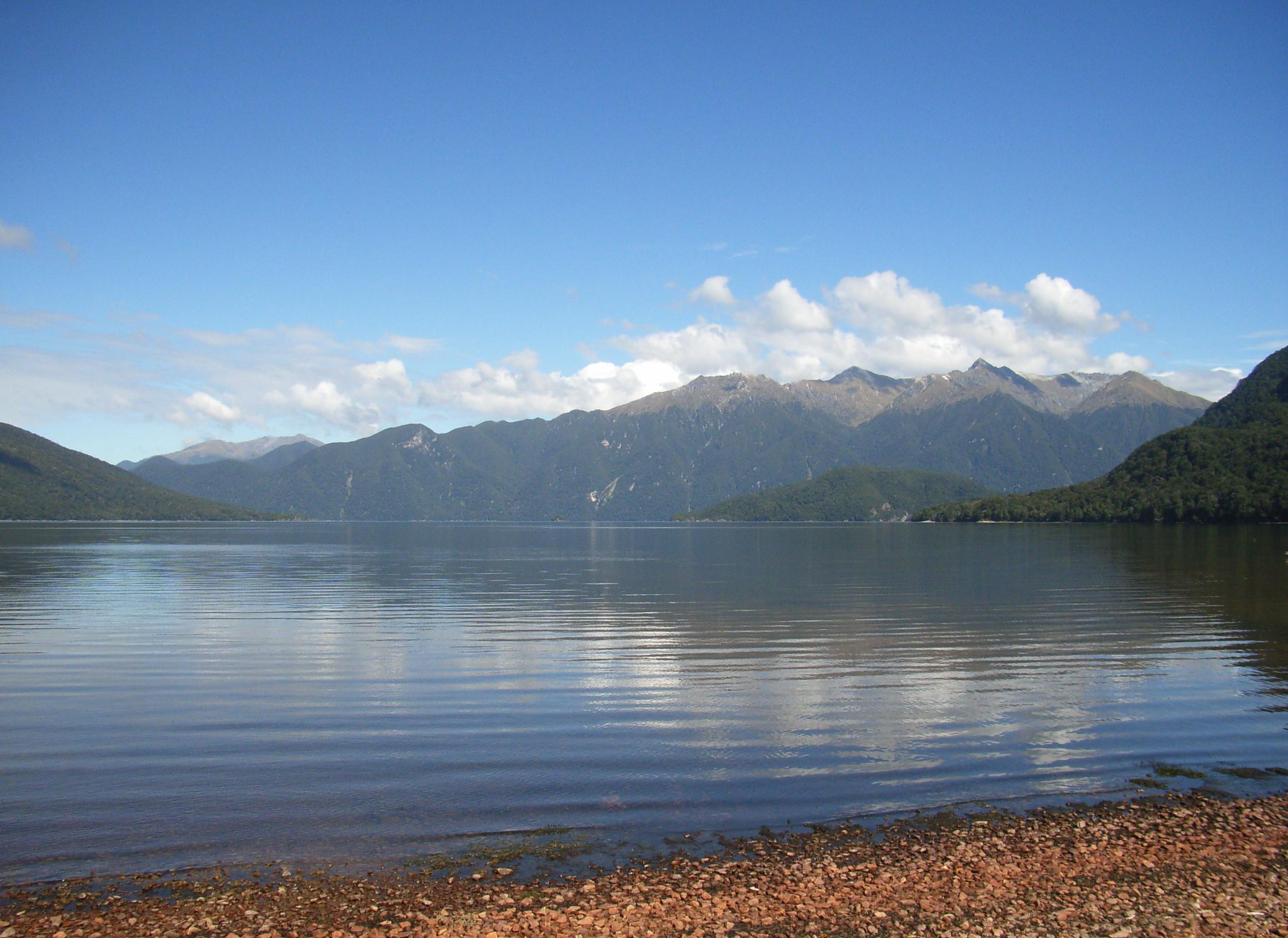
The lake drains south through the 20-kilometre Wairaurahiri River, which empties into Foveaux Strait about 10 kilometres west of Te Waewae Bay. This southern outlet connects Lake Hauroko to the sea through some of the most remote and least-visited country in New Zealand - the Dusky Track, one of the most challenging tramping routes in Fiordland, passes through this territory. A smaller island sits adjacent to Teal Bay at the lake's southern end, and a scattering of islets and rocks dot the surface along its length. The road from Clifden ends at the northern shore, where a lookout track offers the first view of water so dark it seems to absorb light rather than reflect it. That darkness comes from depth and from the tannins leached by the surrounding forest - the same process that stains Fiordland's rivers the colour of tea. Stand at the lookout on a still day and the surface mirrors the mountains perfectly, giving no hint that 462 metres of water lie beneath.
From the Air
Located at 45.958S, 167.305E within Fiordland National Park. Lake Hauroko is an S-shaped lake, 32km long and 462m deep - New Zealand's deepest. Access road runs 30km from Clifden to the northern shore. The Wairaurahiri River drains south to Foveaux Strait. Mary Island is visible near the center of the lake. Nearest airports: Invercargill (NZNV) approximately 120km southeast, Te Anau (no ICAO) approximately 80km north. Queenstown (NZQN) further northeast. The lake sits in mountainous terrain with peaks to 1,500m. Expect Fiordland weather - frequent rain, low cloud, and limited visibility. The dark tannin-stained water makes the lake distinctive from altitude.