Lake Quinault
Eleven feet of rain falls here every year, and the forest drinks every drop. Lake Quinault sits in a valley that glaciers carved out of the Olympic Mountains thousands of years ago, a long trough of dark water surrounded by some of the tallest trees in North America. What makes this lake unusual is not just the rain, or the forest, or the mountains that trap Pacific storms like a catcher's mitt -- it is the fact that the lake itself belongs to the Quinault Indian Nation, one of the few bodies of water in the United States under tribal ownership. Fishing requires a permit from the Quinaults, not the state of Washington. The distinction matters here.
Shaped by Ice, Sustained by Rain
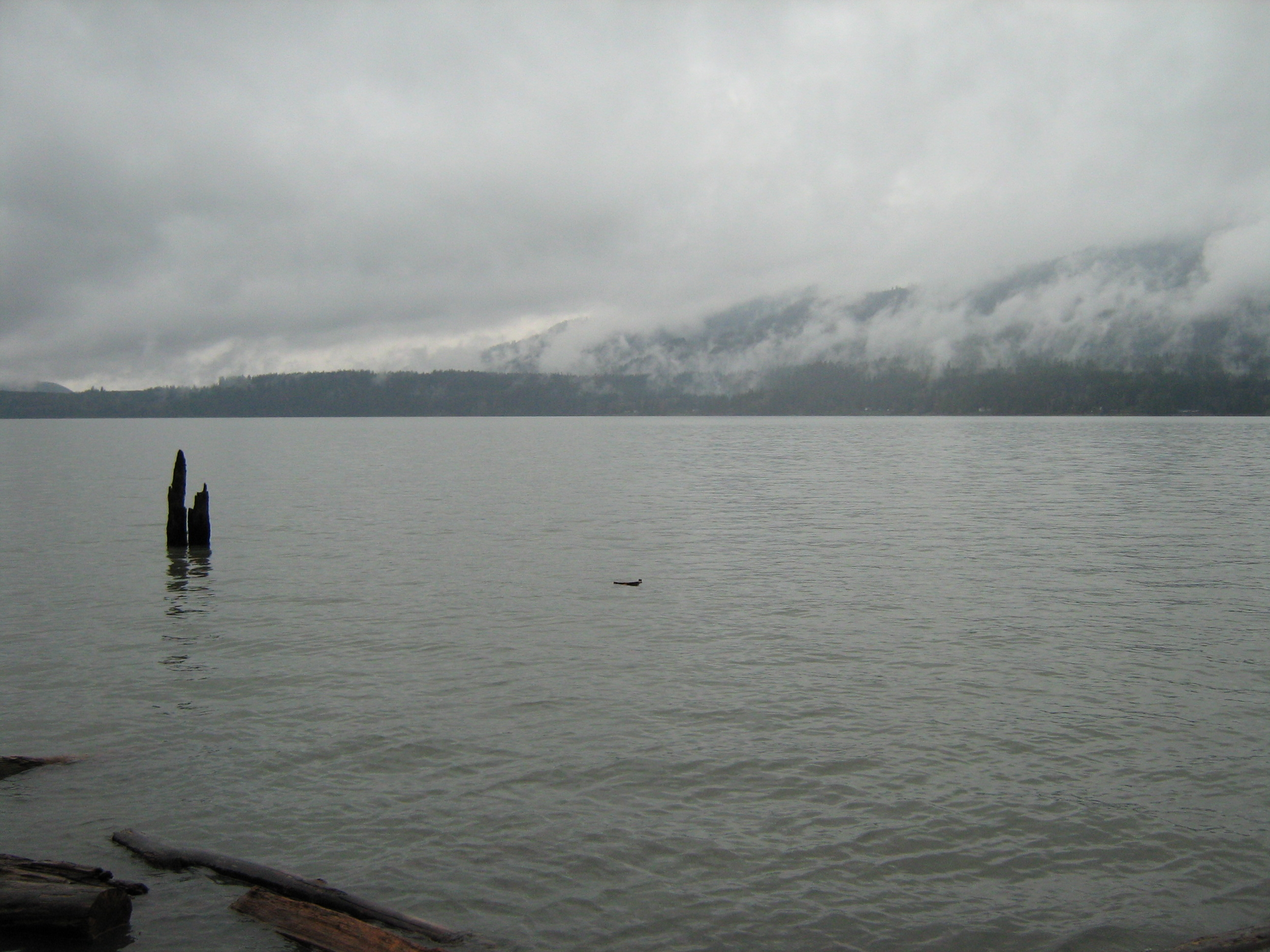
The Quinault Valley runs east to west along the southern flank of the Olympic Mountains, and the lake fills its lowest point like water pooling in a cupped hand. Glaciers did the carving -- the same ice sheets that sculpted the fjords of Puget Sound ground their way down this valley, scooping out a basin that filled as the ice retreated. The Quinault River feeds the lake from the east and drains it to the west, continuing to the Pacific Ocean. The valley's orientation is the key to its staggering rainfall: storms rolling in from the Pacific hit the Olympic range head-on, and the mountains force the moisture upward until it wrings itself dry. The result is 131 inches of precipitation per year -- enough to sustain a temperate rainforest that would look at home in the tropics if not for the conifers.
The Quinault Nation's Lake
Lake Quinault is not federal land, not state land, not public land in the way most Americans understand the term. The Quinault Indian Nation holds ownership of the lake, a legal reality that has been challenged in court and upheld by federal judges. The Quinault people -- Coast Salish inhabitants of the Olympic Peninsula's western shore -- have lived in this valley for thousands of years, fishing its rivers and harvesting its forests long before any European saw the Pacific Northwest. Their sovereignty over the lake is not a historical curiosity but an active, enforced right. Visitors who want to fish must purchase a permit from the tribe. The northern shore of the lake lies within Olympic National Park, the southern shore within Olympic National Forest, but the water between those shores belongs to the Quinault.
Two Shores, Two Worlds
Drive the thirty-mile loop around Lake Quinault on U.S. Route 101 and the side roads that branch from it, and you pass through distinctly different landscapes. The southern shore is the accessible side -- the historic Lake Quinault Lodge, the Rain Forest Resort Village, a system of short hiking trails maintained by the U.S. Forest Service, campgrounds connected by the Quinault Rain Forest Interpretive Trail. Both the Quinault Loop Trail and the Interpretive Trail earned designation as National Recreation Trails in 1979. This is the side where day hikers wander beneath a canopy so thick that rain arrives as a slow drip filtered through layers of moss and fern. The northern shore is quieter, bordered by private homes and small resorts within Olympic National Park. The contrast is subtle but real: one side managed for recreation, the other for residence, both surrounded by the same impossibly green forest.
A Canopy That Never Dries
The forest surrounding Lake Quinault is not merely wet -- it is defined by wetness, organized around it, dependent on it. Sitka spruce and western red cedar tower overhead, their trunks furred with moss so thick it obscures the bark beneath. Bigleaf maples disappear under curtains of hanging clubmoss and licorice fern. The understory is a tangle of sword fern and salal so dense that stepping off the trail means vanishing into green. Light filters through the canopy in shafts, illuminating the mist that hangs between the trees like gauze. When the rain pauses -- and it does pause, sometimes for hours -- the forest continues to drip, water working its way down through the canopy layer by layer. The sound never stops. It is the quietest loud place you will ever stand, a cathedral of green noise where even silence has a texture.
From the Air
Located at 47.48°N, 123.87°W on the Olympic Peninsula in western Washington. The lake is a roughly 3-mile-long glacial body of water oriented east-west in the Quinault Valley, easily visible from altitude as a dark water feature in an unbroken expanse of green temperate rainforest. The Olympic Mountains rise sharply to the north. U.S. Route 101 passes near the south shore. Nearest airports: Bowerman Airport (KHQM) in Hoquiam, approximately 35nm southwest; Olympia Regional Airport (KOLM) roughly 65nm southeast. Expect persistent low cloud cover and rain; VFR conditions are frequently marginal in this valley. The lake surface sits at approximately 200 feet elevation.