Lake Suigetsu
Twelve thousand years of leaf fragments lie buried in the mud at the bottom of a Japanese lake, and every single one of them matters. Lake Suigetsu, tucked along the coast of Wakasa Bay in Fukui Prefecture, looks unremarkable from above -- a modest body of brackish water, roughly four square kilometers, hemmed in by forested hills. But beneath its placid surface, the lake floor preserves one of the most extraordinary geological archives on Earth: an unbroken record of annual sediment deposits, called varves, that has fundamentally reshaped how scientists measure deep time.
Five Lakes, Five Colors
Suigetsu belongs to the Mikata Five Lakes, a chain of interconnected bodies of water strung between the mountains and the Sea of Japan. Each lake holds water of a different composition -- from the pure freshwater of Lake Mikata to the ocean-salinity depths of Lake Hiruga -- and from the Rainbow Line Summit Park high above, the five lakes shimmer in distinctly different shades of blue and green, earning them the nickname "five-color lakes." Suigetsu itself is brackish, fed by a shallow channel from Lake Mikata with almost no outflow. That near-stagnation is the key to everything. The deepest water sits at 34 meters, permanently deoxygenated, devoid of the bottom-dwelling organisms that might otherwise churn the sediment. Season after season, year after year, the finest particles drift down and settle in undisturbed layers -- dark bands of organic matter from summer alternating with pale mineral deposits from winter.
The Clock at the Bottom of the Lake
Scientists first recognized the potential of Suigetsu's varves in 1993. Each annual layer traps leaf fragments, twigs, and other terrestrial plant material that can be radiocarbon-dated with precision. This matters enormously because the existing radiocarbon calibration curve relied heavily on tree rings, which only reach back about 12,600 years with confidence. Beyond that, researchers had to depend on marine records that carry their own uncertainties about ocean carbon exchange. Suigetsu offered something unprecedented: a purely terrestrial record stretching far deeper into the past. In 2006, an international team drilled fresh cores from the lake bed, extracting over 600 radiocarbon measurements. The results, published in the journal Science in 2012, extended the reliable calibration curve to 52,800 years -- more than quadrupling the range of the tree-ring record. Oxford researcher Christopher Bronk Ramsey called it a breakthrough in resolution and confidence.
Reading the Layers
The work was not simple. Seasonal variation in Suigetsu's deposits is subtle -- not every year produces a crisply visible band. It took nearly two decades of analysis, using multiple overlapping cores and microscopic detection techniques, to piece together the complete sequence. Researchers had to correlate different sections of sediment, match patterns across drilling sites, and develop new methods to distinguish individual annual layers where the naked eye could not. The resulting dataset, integrated into the internationally recognized IntCal13 calibration standard, has been cited over 10,000 times. Every archaeological date, every climate reconstruction, every volcanic eruption timeline that depends on radiocarbon dating now passes through the record preserved in this quiet lake.
A Landscape of Hidden Depths
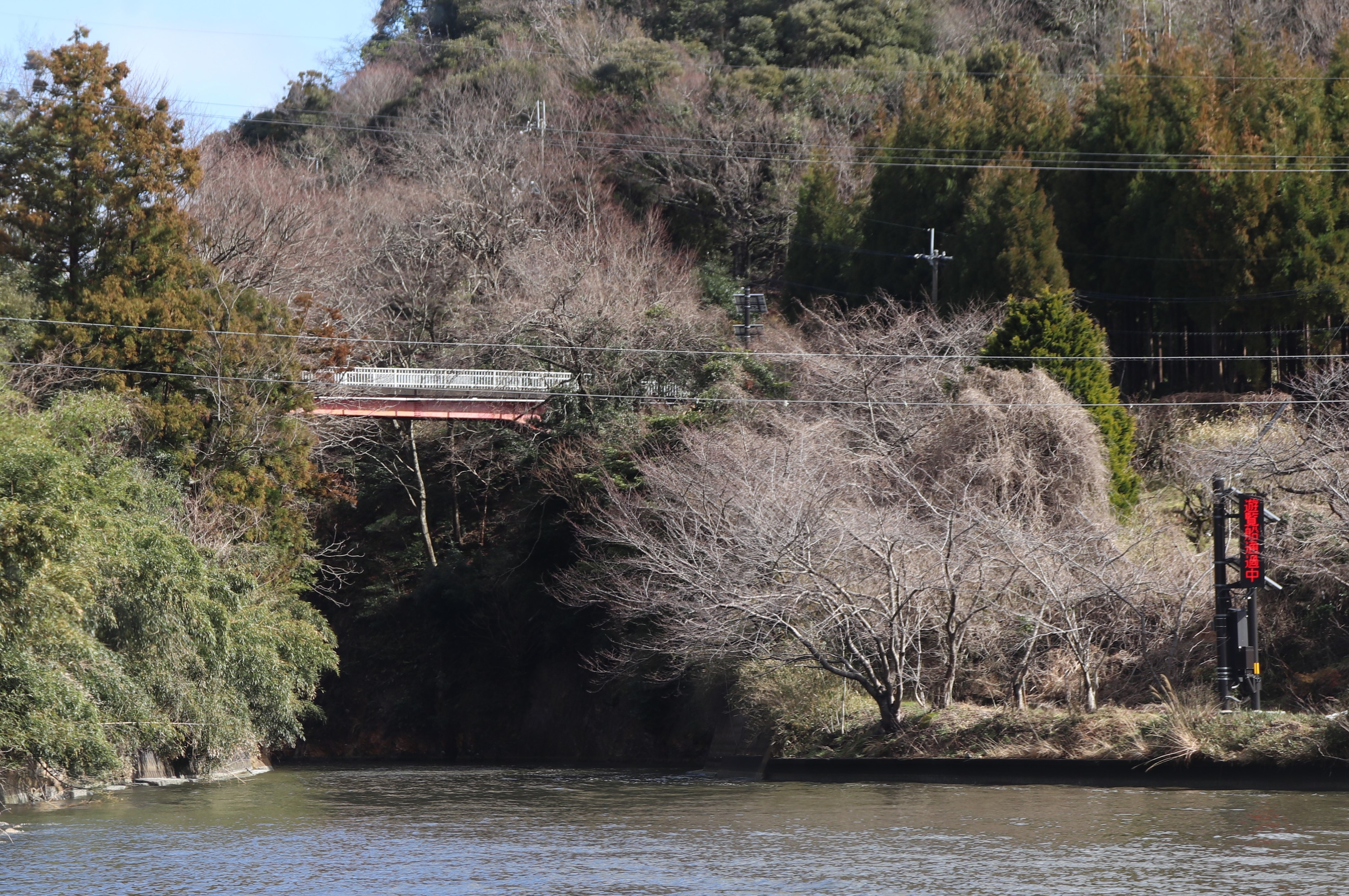
The Mikata Five Lakes occupy a landscape shaped by the interplay of rivers, tides, and tectonic forces. The Hasu River feeds fresh water into Lake Mikata from the south, and a tidal pulse of seawater creeps in from Wakasa Bay through the narrow Hayase River during high tide. The entire chain sits within the Wakasa Wan Quasi-National Park, a Ramsar-designated wetland recognized for its ecological significance. Above the lakes, the forested ridgelines of the Hokuriku region slope toward the coast. Below the surface, Suigetsu continues to accumulate its annual testimony -- each new layer adding another year to a record that already spans ice ages, volcanic winters, and the full sweep of human civilization. The lake asks nothing of visitors. It simply remembers.
From the Air
Lake Suigetsu is located at 35.58N, 135.88E in Fukui Prefecture, Japan, near the southern coast of Wakasa Bay on the Sea of Japan. The Mikata Five Lakes cluster is visible from moderate altitude as a chain of water bodies between forested hills and the coastline. Nearest airport is RJNK (Komatsu Air Base), approximately 80 km to the northeast. The lake sits at near sea level. Best viewed in clear weather when the distinct colors of the five connected lakes become apparent from above.