Lake Tekapo
Every streetlight in Lake Tekapo points at the ground. It is not a design quirk but a local law: all exterior night-time lighting must shine downward, because in this small village in the Mackenzie Country of New Zealand's South Island, the darkness above is considered a natural resource worth protecting. Surrounded by mountains, situated far from any city glow, Lake Tekapo sits beneath what astronomers and visitors alike regard as some of the clearest night skies in the Southern Hemisphere.
Legislating Darkness
The light-pollution ordinances that govern Lake Tekapo are not merely local enthusiasm. The area has been pursuing recognition as a UNESCO World Heritage site as the world's first starlight preservation area, a designation that would formally acknowledge what anyone who has stood outside here after dark already knows: the sky is extraordinary. The Milky Way does not merely appear overhead but dominates, a thick band of light dense enough to cast faint shadows on the ground. Mount John Observatory, operated by the University of Canterbury, takes advantage of these conditions for professional astronomical research. Stargazing tours from the Sir Edmund Hillary Alpine Centre at nearby Aoraki / Mount Cook Village draw visitors who have never seen more than a few dozen stars at home and find themselves confronting thousands.
Glacial Blue and Lupins
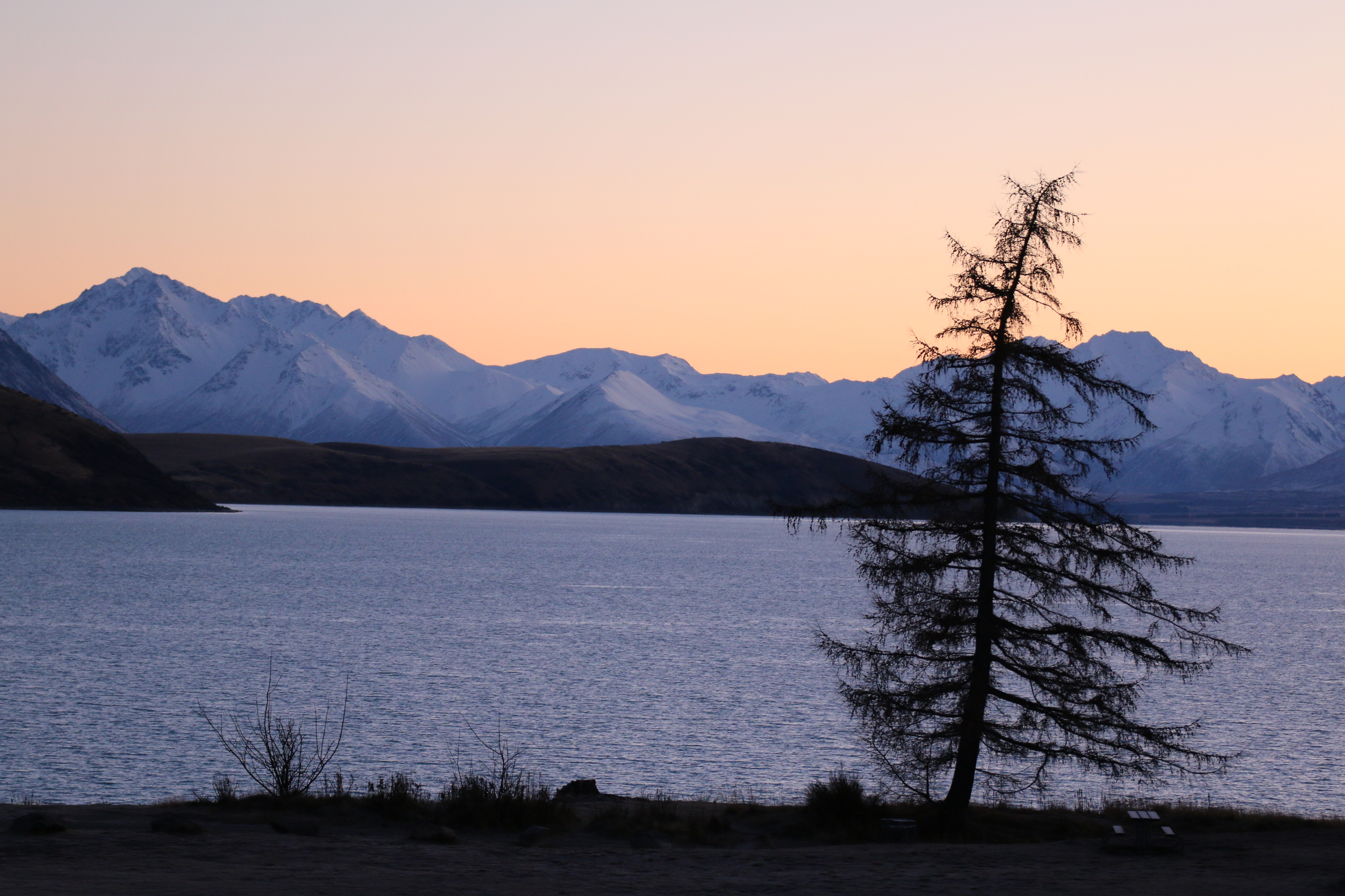
The lake itself is fed by glacial meltwater from the Southern Alps, which gives it the same improbable turquoise colour that distinguishes the other Mackenzie Basin lakes, Pukaki and Ohau. All three were formed by retreating glaciers, their valleys dammed by terminal moraines. On the lakeshore, the Church of the Good Shepherd, a tiny stone chapel built in 1935, has become one of the most photographed buildings in New Zealand, framed against the lake and mountains through its altar window. In late spring and early summer, introduced Russell lupins carpet the shoreline in bands of purple, pink, and blue, a scene that has become emblematic of the region even as ecologists debate whether these non-native plants should be controlled or celebrated.
High Country Crossroads
Lake Tekapo sits on State Highway 8, roughly 60 kilometres north of Twizel, about two and a half hours southwest of Christchurch and three hours north of Queenstown. The village is compact and walkable, with no public transport. Everything of consequence lies within a short stroll: accommodation, the lakeshore, trailheads, and the handful of shops and restaurants that serve the steady stream of visitors passing through the Mackenzie Country. InterCity bus services connect Tekapo to Queenstown, Aoraki / Mount Cook Village, and Christchurch, though the journey times are long. The route from Queenstown via Mount Cook takes approximately seven hours, including a two-and-a-half-hour stop at the mountain village. Smaller shuttle operators fill the gaps.
Between Seasons
The Mackenzie Country has a climate of extremes. Summer days are warm and dry, with long hours of light that stretch the evening well past dinner. Winter brings snow to the surrounding ranges, and the Two Thumb Range east of the lake offers backcountry ski touring for those willing to spend two to five days based at a hut above the snowline, traversing valleys, ridges, and basins far from any lift or lodge. Lake Tekapo is roughly 100 kilometres by road from Aoraki / Mount Cook National Park, close enough to serve as a base for day trips but far enough to have its own distinct character. Where the national park is vertical and demanding, Tekapo is horizontal and still, a place where the landscape encourages looking up rather than ahead.
From the Air
Located at 43.90S, 170.53E. Lake Tekapo is a glacial lake in the Mackenzie Basin, visible as a turquoise body of water from altitude. The village sits on the lake's southern shore along State Highway 8. Mount John Observatory is visible on the hill above town. The Two Thumb Range rises to the east. Aoraki / Mount Cook National Park lies approximately 100 km to the west. Nearest major airports are Christchurch (NZCH, ~2.5 hours by road) and Queenstown (NZQN, ~3 hours by road). The Mackenzie Basin offers generally clear skies and good visibility but can be affected by nor'west arch cloud formations. Good VFR waypoint between Christchurch and the Southern Alps.