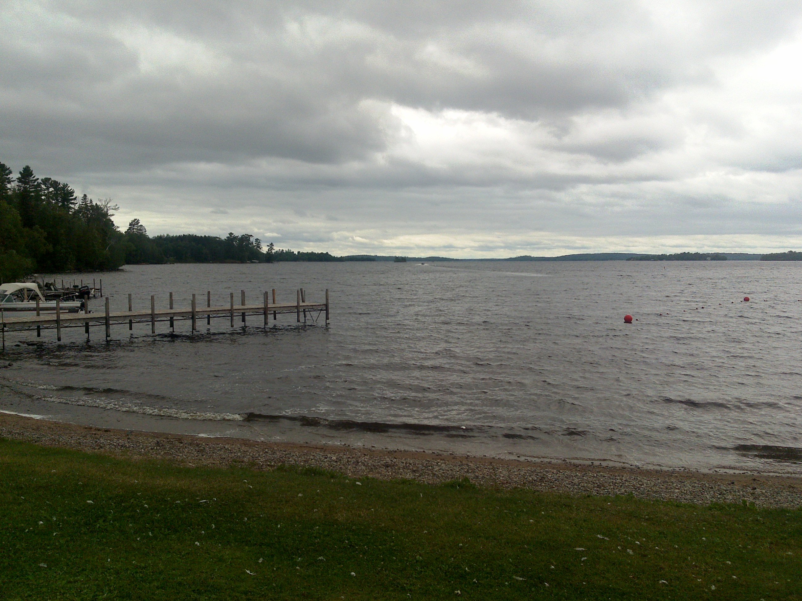
Lake Vermilion
The Ojibwe called it Onamanii-zaaga'iganiing -- the place where the evening sun tints the water a reddish color. French fur traders, hearing the description, reached for Latin and named it Vermilion, after the red pigment. That etymology captures something essential about this lake in northeastern Minnesota's Arrowhead Region: the light here does extraordinary things. At dawn the surface mirrors the boreal forest in perfect stillness. By evening the shallow waters catch the low northern sun and glow with that warm reddish hue the Ojibwe observed centuries ago. Stretching 40 miles between the towns of Tower and Cook, Lake Vermilion sprawls across 39,271 acres of the Canadian Shield, its shoreline fractured into bays, peninsulas, and 365 islands -- one for every day of the year, as locals like to point out.
Iron Beneath the Pines
The wilderness surrounding Lake Vermilion conceals a dramatic industrial past. The lake sits at the heart of the Vermilion Iron Range, where miners bored nearly half a mile underground to reach deposits of hematite so pure that two pieces could be welded together. The Soudan Mine, just south of the lake's eastern shore, shipped its first load of iron ore on July 31, 1884 -- the moment that launched Minnesota's entire mining industry. For decades the mine operated at depths reaching 2,341 feet across twenty-seven underground levels. Mining shaped the communities around the lake until the last operations ceased in the 1960s, when cheaper taconite processing on the Mesabi Range made deep mining uneconomical. Today the Soudan mine's deepest level serves an unlikely second life: the University of Minnesota operates a high-energy physics laboratory there, using 2,341 feet of rock as a shield against cosmic radiation.
The Walleye Capital
Lake Vermilion's reputation as a fishing destination draws anglers from across the Midwest every season. The shallow, island-studded waters support an impressive roster of species -- walleye, muskellunge, northern pike, smallmouth and largemouth bass, black crappie, bluegill, and yellow perch among them -- but walleye and muskie are the headliners. The lake's status is serious enough that Minnesota hosted its annual Governor's Fishing Opener Weekend here in 2005. Careful management keeps the fishery healthy: a protected slot limit restricts harvest of walleye between 20 and 26 inches, with only one fish over 26 inches allowed in a four-fish possession limit. These regulations, updated most recently in 2017, reflect a commitment to sustaining the population that makes Lake Vermilion one of the premier walleye lakes in the upper Midwest.
A Park Born from Two Worlds
The marriage of wilderness recreation and industrial heritage produced something unusual on Lake Vermilion's southern shore: a state park that combines pristine lakeshore with an underground iron mine. Lake Vermilion-Soudan Underground Mine State Park merged newly acquired lakefront land with the existing Soudan Underground Mine State Park, creating a destination where visitors can paddle among forested islands in the morning and descend into century-old mine shafts in the afternoon. The Bois Forte Band of Chippewa maintains a reservation on the lake as well, where Fortune Bay Resort and Casino operates. Nearby, the Stuntz Bay Boathouse Historic District preserves a collection of boathouses built in the early twentieth century by Soudan Mine employees -- a tangible reminder that the miners who tunneled through Precambrian rock also spent their free hours on these same waters.
Wilderness at the Doorstep
Lake Vermilion sits at the threshold of some of North America's most protected wilderness. The Superior National Forest stretches to the northeast, and beyond it lies the Boundary Waters Canoe Area Wilderness, a million-acre labyrinth of interconnected lakes and portage trails where motors are banned and silence is the dominant sound. Lake Vermilion serves as a comfortable gateway to that wilder country -- a place with resorts, lodges, and boat launches where families have been coming for generations. The 341 miles of shoreline offer enough coves and channels that even on busy summer weekends, solitude is a short paddle away. In winter the lake transforms into a landscape of ice and snow, with anglers drilling holes through the frozen surface and the northern lights occasionally painting the sky in colors that would have looked familiar to the Ojibwe who first named this place for its reddish glow.
From the Air
Located at 47.86°N, 92.30°W in northeastern Minnesota's Arrowhead Region. Lake Vermilion stretches approximately 40 miles east-west between Tower and Cook, with 39,271 acres of surface area and 365 islands clearly visible from altitude. The lake's irregular shoreline and numerous islands make it unmistakable from the air. Tower Municipal Airport (12D) sits at the eastern end near Tower. Falls International Airport (KINL) at International Falls is approximately 70 nm north. Duluth International Airport (KDLH) lies roughly 80 nm to the south. The Superior National Forest and Boundary Waters Canoe Area Wilderness extend to the northeast. Best viewed at 3,000-5,000 feet AGL for full appreciation of the island-studded layout.