Land Between the Lakes and the Drowned Towns
Beneath the waters of Kentucky Lake and Lake Barkley lie the bones of towns. The Land Between the Lakes - a 170,000-acre national recreation area spanning Kentucky and Tennessee - exists because the Tennessee Valley Authority needed reservoirs. In the 1940s and 1960s, they got them, flooding two river valleys and displacing over 2,500 families who had lived there for generations. The town of Birmingham had a hotel, three churches, and a school. Model had stores and a post office. Both are gone now, drowned beneath recreational lakes where pleasure boats cruise above what were once Main Streets. Former residents and their descendants still gather at surviving cemeteries on the peninsula, remembering a world the government decided to erase.
The Taking
The Tennessee Valley Authority was created in 1933 to control flooding and generate electricity. Dams meant lakes, and lakes meant drowning whatever lay in the valleys. Kentucky Dam, completed in 1944, flooded the Tennessee River valley to create Kentucky Lake. Barkley Dam, finished in 1966, flooded the Cumberland River to create Lake Barkley. The narrow peninsula between them became 'Land Between the Rivers,' then 'Land Between the Lakes' when the TVA decided to make it a recreation area. This meant not just flooding homes but removing them entirely - 2,500 families relocated, cemeteries moved, communities scattered. The government called it progress. The displaced called it theft.
The Ghost Towns
Birmingham, Kentucky was a river town - steamboats stopped there, farmers brought tobacco to market, and iron furnaces operated during the Civil War. Gone. Model, Tennessee had a hotel called the Pace House, where Abraham Lincoln reportedly stayed. Gone. Golden Pond was the peninsula's last town, evacuated in the 1960s. The TVA promised economic development, tourism jobs, a bright future. What arrived was water and forgetting. The lakes are popular - millions visit annually for boating, fishing, and camping. Few know they're floating above drowned towns where people once lived, worked, and buried their dead.
The Homecomings
Every year, former residents and their descendants return to cemeteries scattered across the peninsula - the graves that couldn't be moved, the ones the government left behind. They gather at Rushing Creek, at Hillman Ferry, at the Between the Rivers cemetery where 43 graves predate the Civil War. They tell stories about farms now underwater, churches now demolished, neighborhoods now forest. These homecomings are part reunion, part memorial, part protest. The people the TVA scattered never entirely left. They come back to stand on the ground their grandparents worked, looking out at lakes that erased everything else.
The Recreation Area
Land Between the Lakes is now managed by the US Forest Service as a national recreation area - 170,000 acres of forest and shoreline between two of the largest reservoirs in the eastern United States. There are campgrounds, trails, an elk and bison prairie, a living history farm, and a planetarium. The Trace, a 40-mile road, runs the peninsula's length. Visitors boat, fish, hunt, and hike, most unaware of what lies beneath the water and the history. The recreation area generates millions in tourism revenue, vindicating the TVA's economic arguments. But money doesn't answer the moral question of whether the government had the right to take this land and these communities.
Visiting Land Between the Lakes
Land Between the Lakes National Recreation Area spans western Kentucky and Tennessee between Kentucky Lake and Lake Barkley. Multiple entrances access the Trace; the North and South Welcome Stations provide maps and information. The Homeplace 1850s Working Farm demonstrates pre-TVA agriculture. The Elk and Bison Prairie offers wildlife viewing from your car. Campgrounds range from developed to backcountry. The lakes offer every water recreation imaginable. Nearby towns (Grand Rivers, Kentucky; Dover, Tennessee) provide services. Nashville is 90 miles southeast; Paducah is 30 miles north. The homecoming gatherings occur throughout spring and summer - finding them requires local knowledge, but the cemeteries are marked and accessible. The drowned towns are not.
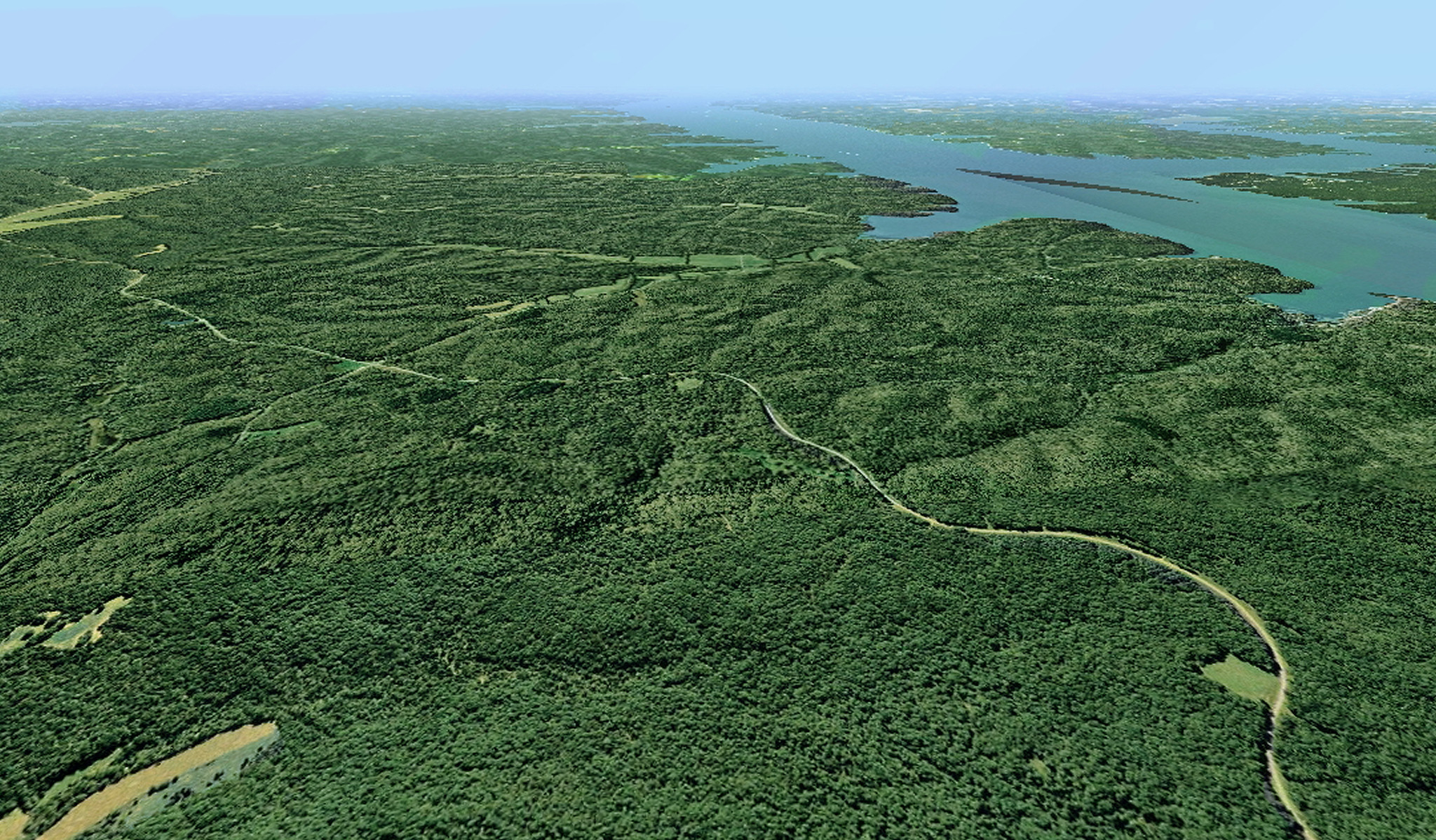
From the Air
Located at 36.83°N, 88.08°W between Kentucky Lake and Lake Barkley in western Kentucky and Tennessee. From altitude, the Land Between the Lakes is a distinctive forested peninsula separating two massive reservoirs - the lakes are visible as blue fingers extending parallel to each other, connected by a canal near the peninsula's north end. The Tennessee and Cumberland Rivers, now dammed, feed these reservoirs. The land is flat to rolling, covered in forest. Bays and coves indent both shorelines. Somewhere beneath those blue waters are the foundations of Birmingham, Model, and Golden Pond - invisible from any altitude, erased from the landscape but not from memory.