Lassen Volcanic National Park
Lake Helen, nestled at high elevation within Lassen Volcanic National Park, receives more average snow accumulation than any other recording station near a Cascade volcano. Snowbanks persist year-round here, even as boiling mud pots bubble nearby and steam rises from sulfurous vents. This park in northeastern California occupies one of the planet's rare geological crossroads: it is one of the few places on Earth where all four types of volcanoes exist together. Plug domes, shield volcanoes, cinder cones, and stratovolcanoes all share this landscape, driven by the same relentless force: the Gorda plate diving beneath North America off the coast.
Born from Fire and Politics
European immigrants trekking to the Sacramento Valley in the mid-1800s used Lassen Peak as a navigation landmark. A Danish blacksmith named Peter Lassen, who settled in Northern California in the 1830s, guided many of these travelers, and the peak eventually bore his name. In 1907, President Theodore Roosevelt designated two separate national monuments here: Cinder Cone National Monument and Lassen Peak National Monument. Then, starting in May 1914, Lassen Peak reminded everyone it was far from dormant. A series of eruptions lasting until 1921 created a new crater, released lava flows, and spread ash across the region. Houses along nearby creeks were destroyed, though timely warnings meant no lives were lost. The dramatic eruptions, combined with the stark volcanic beauty of the landscape, convinced Congress to establish Lassen Volcanic National Park on August 9, 1916.
The Ghosts of Tehama
Lassen Peak is not the original mountain here. That distinction belongs to Mount Tehama, also known as Brokeoff Volcano, a stratovolcano that once towered roughly a thousand feet higher than Lassen does today. Tehama built itself during the Pleistocene from alternating layers of andesitic lava and tephra. Approximately 350,000 years ago, the volcano collapsed into a two-mile-wide caldera after emptying its magma chamber in a series of eruptions. Roughly 27,000 years ago, Lassen Peak began pushing through Tehama's former northeastern flank as a dacite lava dome. The emerging dome shattered overlying rock, creating the talus blanket visible at Lassen's base today. Remarkably, the peak may have reached its current height in just a few years. Ice Age glaciers later sculpted the dome, with at least one glacier extending far from the volcano itself.
Where Wolves Returned
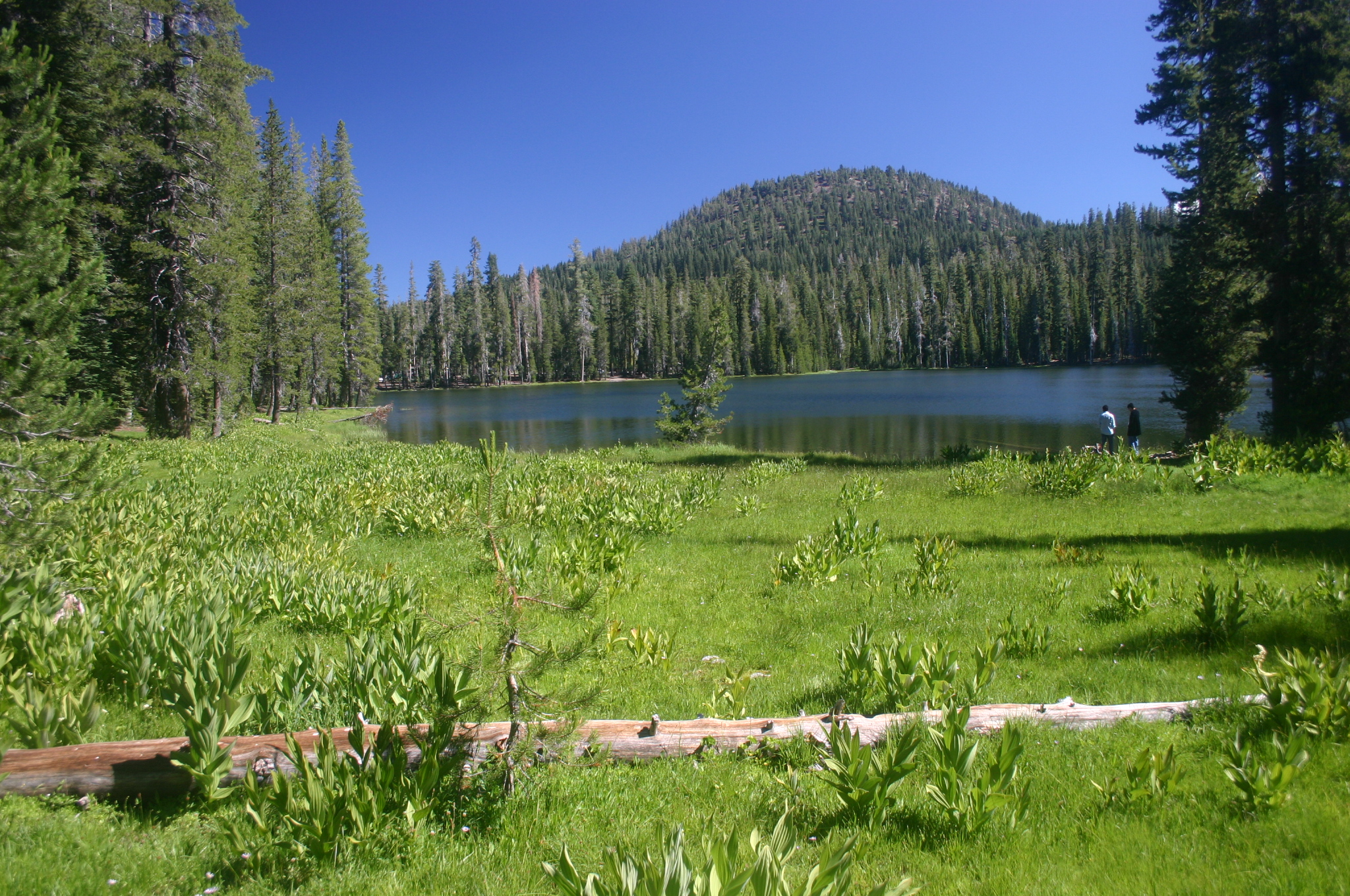
The park preserves a landscape nearly unchanged since before European settlement, including old-growth forests spanning all major forest types. At lower elevations, ponderosa and Jeffrey pines, sugar pine, and white fir create canopy for rich understory communities featuring manzanita, gooseberry, and wildflowers like iris and lupine. Higher up, red fir and mountain hemlock dominate. This habitat harbors the Sierra Nevada red fox, one of California's rarest mammals, with 20 individuals identified in the park representing the largest known population. In late December 2011, a wolf repopulation began in California. The Lassen Pack, a northwestern wolf pack originally from Oregon, settled in the forests surrounding the park. Then in 2024, the California Department of Fish and Wildlife reported something historic: a breeding pair with at least one offspring living within the park itself. These wolves, likely dispersers from the Lassen Pack, mark the first modern presence of wolves within Lassen Volcanic National Park.
Fire and Resilience
In August 2021, the Dixie Fire swept into the park near Juniper Lake, forcing evacuation of the town of Mineral, including park headquarters. Structures were lost at the Drakesbad Guest Ranch and cabins near Juniper Lake. The fire ultimately burned 73,240 acres within the park, approximately 69 percent of its total area. Yet the damage varied dramatically. About 18 percent of the burned area experienced such low severity that the landscape remained essentially unchanged. Another 49 percent burned at low-to-moderate severity. The remaining 33 percent burned at high severity. The 2012 Reading Fire footprint actually slowed the Dixie Fire's northward advance, a reminder that fire, while destructive, is part of this volcanic landscape's cycle of transformation and renewal.
Steam and Snow
The heat that built these volcanoes still radiates from below. Boiling mud pots, fumaroles, and hot springs scatter across the park, evidence that the magmatic system remains active. At places like Sulphur Works, steam vents release clouds of sulfurous gas, and extremophile microorganisms thrive in scalding water. The USGS and National Park Service maintain monitoring systems and emergency response plans for any increase in volcanic activity. Meanwhile, the park's high elevation creates one of the wettest spots in the Cascades south of the Three Sisters in Oregon. Winter buries the landscape so thoroughly that State Route 89 through the park closes annually due to snowpack. The park's climate oscillates between these extremes: searing thermal vents below, deep snowfields above, and through it all, the slow pulse of a restless volcanic system.
From the Air
Located at 40.50N, 121.43W in northeastern California. Lassen Peak, the park's dominant feature, is easily identifiable from altitude as a massive dome rising above the surrounding terrain. The park spans portions of Shasta, Lassen, Plumas, and Tehama counties. Approach from Redding Municipal (KRDD) approximately 50nm to the northwest or Chester Airport (not ICAO) to the southeast. Notable landmarks include Manzanita Lake near the northwest entrance, the barren Chaos Crags north of Lassen Peak, and Butte Lake in the northeast corner. The western part of the park features dramatic lava pinnacles and steaming vents visible in certain conditions. Best viewed from 8,000-12,000 feet MSL for full park perspective.