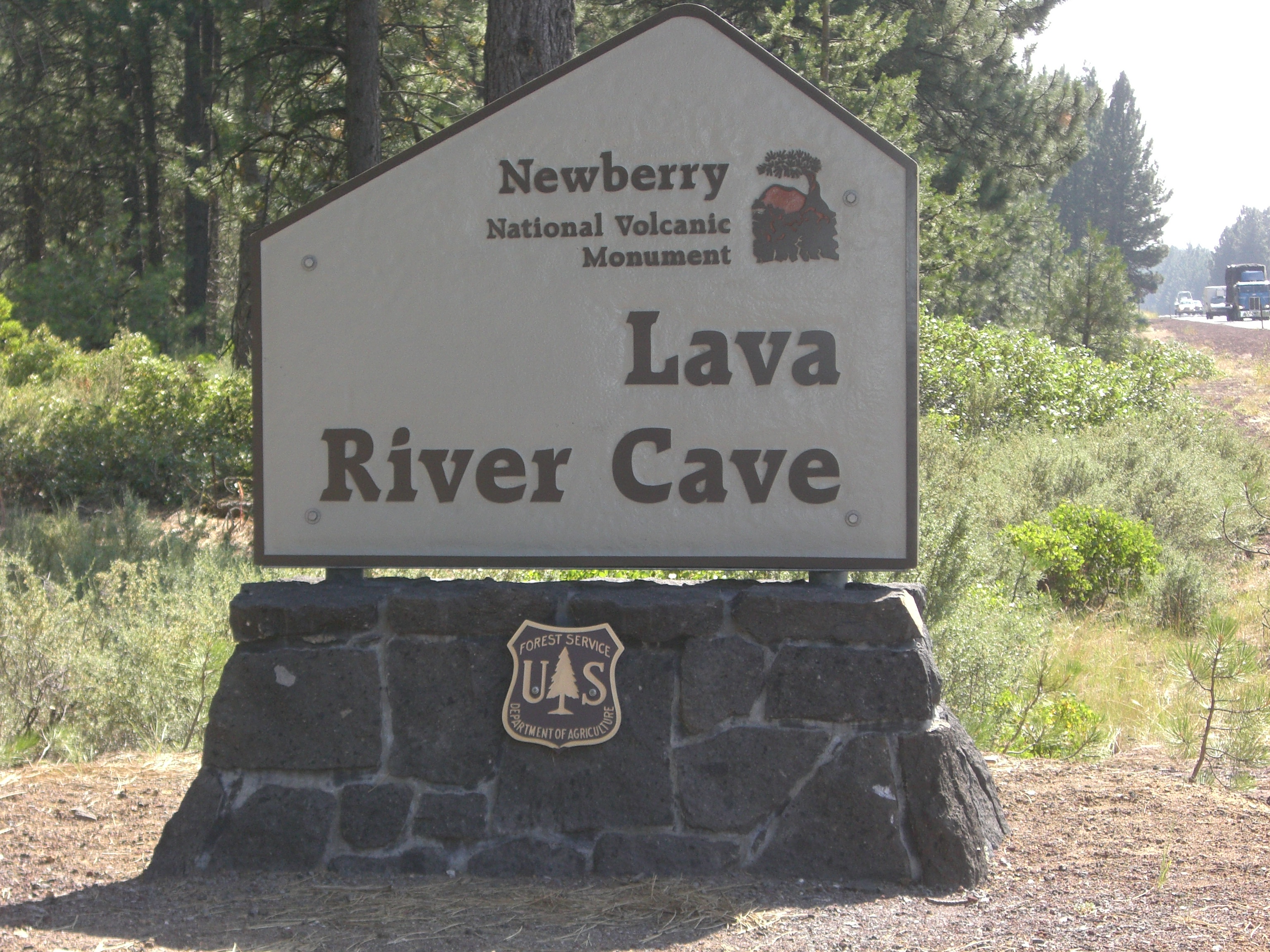
Lava River Cave
The temperature drops the moment you descend into the collapsed entrance. Above, ponderosa pines stand in summer heat; below, the cave maintains a constant 42 degrees Fahrenheit year-round. This is Lava River Cave, Oregon's longest continuous lava tube, a mile-long tunnel that passes directly beneath Highway 97 without most drivers ever knowing it exists. The official discovery came in 1889, credited to a pioneer hunter, but obsidian flakes scattered near the entrance tell a different story: Native Americans knew this place long before settlers arrived in central Oregon.
Birth of a Tunnel
About 80,000 years ago, lava flowed northwest from a vent near Mokst Butte toward the Deschutes River. The flow began as an open channel, a river of molten rock coursing downhill. As the outer surface cooled, a crust solidified over the still-flowing interior, creating a natural roof. When the eruption ended, the lava drained out, leaving behind an empty tube. The same volcanic flow underlies much of the Bend area and nearly reaches Redmond, though the specific vent that created the cave lies buried beneath younger flows. After the tube cooled, a section of roof collapsed, creating the entrance that opens into both the uphill and downhill passages.
Echo Hall and Low Bridge Lane
A short walk from the entrance, the ceiling rises to 58 feet and the walls spread 50 feet apart. This massive volcanic archway is Echo Hall, its smooth, symmetrical walls producing remarkable acoustics. Remnants of the ancient lava flow appear molded into the tunnel walls as rounded overhanging shelves and lateral markings. Beyond Echo Hall, the passage ducks under Highway 97, marked by a small signpost. Past this point, Low Bridge Lane drops the ceiling to less than five feet. Here, hot gases trapped after the lava drained re-heated the tube walls, leaving them with a shiny, glazed surface when they cooled. Volcanic stalactites called lavacicles hang from the ceiling, some as hollow soda straws formed by escaping gases, others as cone-shaped drip pendants of remelted rock.
The Sand Garden
Three-quarters of a mile from the entrance lies the cave's most delicate feature. The Sand Garden's floor is covered with fine volcanic ash from Mount Mazama's cataclysmic eruption 7,700 years ago, the same event that created Crater Lake. Rain and snowmelt carried this ash down through cracks in the rock, depositing it one grain at a time over millennia. Constant dripping has carved the sand into spires and pinnacles so fragile that the Forest Service has fenced off the area. Beyond the garden, the ceiling descends until sand fills the passage entirely. Two men dug out the last 100 feet in the 1930s; exploring this section requires crawling on hands and knees for thirty minutes.
Life in Darkness
The cave supports a small population of mice and bats that live underground year-round. The bats are shy and rarely seen; they remain in hibernation until July, and even when active they sleep through the daylight hours when visitors explore. The Forest Service asks that any spotted bat be left undisturbed, as waking one from hibernation can prove fatal. Above ground, the entrance sits in a forest of ponderosa pines surrounded by sagebrush, manzanita, bitterbrush, and chokecherry. The short path down to the cave passes serviceberry, Oregon grape, and small willows growing in the cooler microclimate created by cold air flowing from the underground passage.
From Lumber Company to Monument
In 1926, the Shevlin-Hixon Lumber Company donated the land around the cave entrance to Oregon for a state park. The company had logged much of central Oregon's ponderosa forests but recognized this entrance deserved protection. In 1981, a land exchange transferred the site to the Forest Service, and in November 1990, Lava River Cave was incorporated into the Newberry National Volcanic Monument. The Forest Service now manages the cave along with the rest of the monument area, renting lanterns to visitors at the entrance building and maintaining the trail through the mile-long passage. The unknown extent beyond the sand plug remains unexplored, the cave's true length still a mystery sealed beneath the high desert floor.
From the Air
Located at 43.895N, 121.369W, approximately 12nm south of Bend, Oregon. The cave entrance is not visible from altitude, but the surrounding Newberry National Volcanic Monument features dramatic volcanic terrain including Newberry Crater, Paulina Peak, and extensive lava flows. Best context viewing at 5,000-8,000 feet. Roberts Field (KRDM) lies 18nm north. The cave runs beneath Highway 97, which provides a useful ground reference. Newberry Caldera to the southeast offers striking aerial views of two crater lakes and obsidian flows.