Leidsche Rijn
On a cold December morning in 1997, Prime Minister Wim Kok climbed onto a construction platform west of Utrecht and operated the controls of a pile driver. The first concrete pile sank into a wet polder that had grown cattle feed for as long as anyone could remember. Around him stretched twenty-five square kilometers of empty land, scheduled to become a city of ninety thousand people. There was no town hall, no train station, no shopping center, not even a paved access road that resembled what would eventually run through the middle of the development. The plan called Leidsche Rijn was the largest Vinex location ever attempted in the Netherlands, a planned suburb on a scale the country had never tried before. Twenty-eight years later, almost everything Kok's pile driver started has been built.
The Vinex Idea
Vinex stands for Vierde Nota Ruimtelijke Ordening Extra, a Dutch planning memorandum from 1991 that committed the national government to a specific solution for population growth. Rather than letting suburbs sprawl wherever the market took them, the state would designate specific large sites near existing cities and concentrate new housing there. The locations were chosen for transit access, infrastructure capacity, and proximity to jobs. Leidsche Rijn, west of Utrecht across the Amsterdam-Rhine Canal, was the biggest of these designated sites. The polder land had belonged mostly to the former municipality of Vleuten-De Meern, with a smaller section in the Hoge and Lage Weide industrial area of Utrecht. The plan called for 30,000 new houses for about 90,000 inhabitants. On 1 January 2001 the entire municipality of Vleuten-De Meern was absorbed into Utrecht to put the project under a single jurisdiction.
The First Keys
The first homes were finished extraordinarily fast. Less than ten months after the prime minister's ceremonial pile, on 14 October 1998, the first set of keys was handed over to a family moving into a new house in the Veldhuizen subdistrict. Construction in Veldhuizen and Langerak had actually begun in 1997, before the wider project was formally underway. By the time Vleuten-De Meern joined Utrecht in 2001, most of the three thousand homes in Veldhuizen were already occupied. The pace was relentless, and the development sprawled across the polder in waves. Vleuterweide, the largest subdistrict, grew to over 18,000 inhabitants - large enough that it was eventually split into three neighborhoods just to be administratively legible. Terwijde and Het Zand filled in around it. By the end of 2019 the population target of 90,000 had been passed, and by 1 January 2022 the two combined districts held more than 95,000 residents.
A Highway in a Box
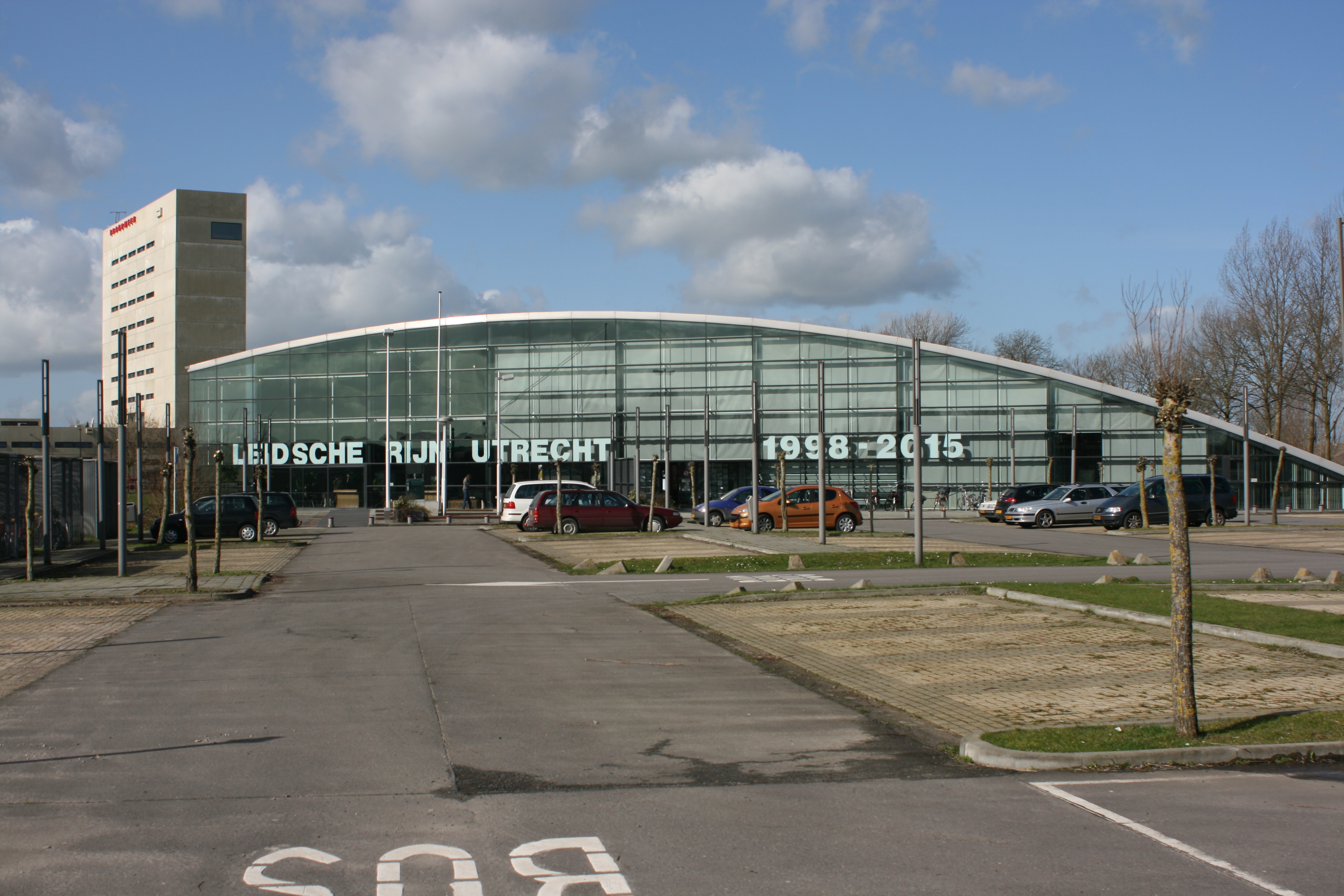
Building a city on a polder west of a thousand-year-old town is a problem of infrastructure as much as housing. The A2 motorway, the artery that links Utrecht with Amsterdam, ran straight through the middle of the planned site. The solution, undertaken as part of a national A2 expansion project, was to widen the freeway to a parallel-lane system and then bury it. Inside Leidsche Rijn, the A2 runs through the Leidsche Rijntunnel - a so-called land tunnel, meaning a highway covered over by built ground rather than dug under earth. Houses and parks sit on top of the lid. The official start of those works took place on 12 April 2005, with the ceremony performed by then-Minister of Transport Karla Peijs. The covered section made everything else possible. Only after the highway disappeared from sight could planners commit to building Leidsche Rijn Centrum, the new district's shopping and civic heart, which began construction on 20 June 2014 and opened its main shopping center on 16 May 2018.
Roman Surprises
The wet polder turned out to be a richer archaeological site than anyone expected. Two thousand years ago this was the northern frontier of the Roman Empire, the Limes, defended by a string of forts and watchtowers along the Rhine. Construction crews kept turning up traces. In 1997 and again in 2003, Roman ships were excavated in the neighborhood of De Balije - flat-bottomed river boats that had been preserved by the wet clay for almost two millennia. In 2002 and 2003 the foundations of Roman watchtowers emerged in the soil of Vleuterweide and Het Zand. The new district sits on top of the old frontier. Modern residents now share an address with the soldiers of the Roman Limes, separated only by a few meters of dirt and twenty centuries.
The Trains Doubled
Public transport had to match the population. The old two-track railway between Utrecht and Woerden, which crossed the new district, was raised onto embankments and doubled to four tracks - a project completed in October 2018 under the regional Randstadspoor program. The old Vleuten station was relocated, and two entirely new stations opened: Utrecht Terwijde and Utrecht Leidsche Rijn. A second railway bridge was installed across the Amsterdam-Rhine Canal in late 2017 to handle the extra tracks. Across the district, free bus lanes were carved out to keep high-frequency services moving even when the road network filled up. By 2020 the Leidsche Rijn project was about 90 percent complete, with final building still going on in the central district and north of Vleuten. The polder Wim Kok drove the first pile into in 1997 has become, in the time it takes to raise a generation, the largest urban expansion in Dutch history.
From the Air
Located at 52.10 degrees N, 5.05 degrees E, immediately west of Utrecht city across the Amsterdam-Rhine Canal. From altitude, look for the distinct geometric grid of new neighborhoods spreading across what was open polder twenty-five years ago, bounded by the A2 motorway running roughly north-south through the middle - much of it covered, so look for the surface roads and built area rather than the highway itself. The Leidsche Rijn Centrum shopping district shows as a denser cluster near the canal. Best viewing altitude 2,500 to 4,000 feet. Nearest airports: Schiphol (EHAM) about 30 km northwest, Rotterdam The Hague (EHRD) about 45 km southwest, Hilversum (EHHV) about 25 km north.