Liao River
The Liao River has always been more than water. It is a name-giver: Liaoning Province, the Liaodong Peninsula, the Liao dynasty -- all take their names from this 1,345-kilometer waterway that drains over 232,000 square kilometers of southern Manchuria. The people of northeast China call it the "mother river," and the title fits. For millennia, the Liao has shaped settlement patterns, determined trade routes, defined political boundaries, and -- in one dramatic twentieth-century engineering project -- been forcibly rerouted to protect a city of two million people from its own flooding.
Two Rivers Become One
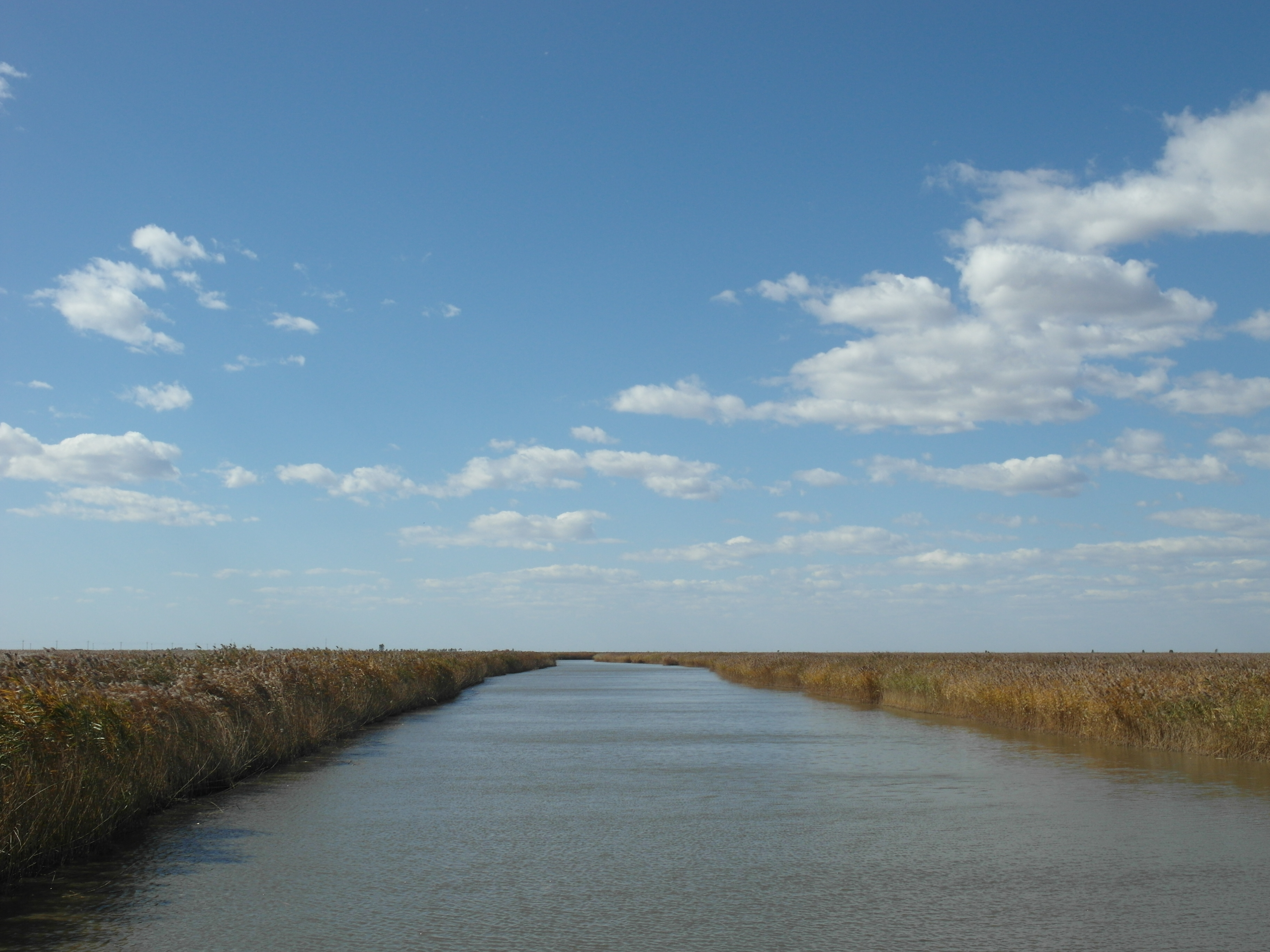
The Liao River is born from the meeting of its two great tributaries. The Xiliao River, the western branch, flows entirely within Inner Mongolia, formed by the confluence of the Xar Moron River and the Laoha River before being joined by the Xinkai River. The Dongliao River, the eastern branch, rises in the low mountains of western Jilin Province and follows an S-shaped course before meeting its counterpart near the junction of Liaoning, Jilin, and Inner Mongolia. From this confluence, the Liao River proper enters Liaoning Province and courses southward through the Northeast China Plain, collecting tributaries as it goes. Near Tieling, it makes a westward turn and earns an infrequently used nickname: Juliu River, the "giant stream." Despite its length, the Liao's mean discharge is modest -- roughly 500 cubic meters per second, about one-twentieth that of the Pearl River -- but its sediment load is enormous, the river churning with powdery loess carried from the interior.
The River That Divides
The Liao River serves as one of China's most significant geographical dividing lines, splitting modern Liaoning Province into Liaodong -- "east of the Liao" -- and Liaoxi -- "west of the Liao." Historically, this division was based not on the river itself but on the vast Liao Mire, a great wetland that once sprawled along the river's western bank from Xinmin to Panshan. This marsh was as much a barrier as the river, creating a natural frontier that influenced the boundaries of kingdoms, the routes of armies, and the patterns of trade for centuries. To cross from east to west meant navigating both flowing water and treacherous bog, a double obstacle that gave the Liao its outsized importance in the region's military and political history.
The Delta That Disappeared
Until 1958, the Liao River split into two distributaries as it approached the sea, forming a delta between the cities of Panjin and Yingkou. The western channel, called the Shuangtaizi River, was originally the smaller branch. The eastern channel, the Wailiao River, was the main stem, picking up the Hun River and the Taizi River at a confluence known as the "Trident River" before draining into Liaodong Bay as the Daliao River. But the delta's flat topography and soft sediment soil made it catastrophically flood-prone, and Yingkou, a city of two million people sitting at the mouth of the Daliao, faced recurring devastation from storm surges. In 1958, engineers blocked the upper Wailiao River at Liujianfang, redirecting the entire flow into the Shuangtaizi channel. The Liao River Delta technically ceased to exist, the Hun and Taizi Rivers were severed from the Liao system, and Yingkou was saved.
The Prince's River
Among the Liao's former tributaries, the Taizi River carries the most evocative name. Taizi means "crown prince," and the legend holds that this river was the last refuge of Crown Prince Dan of the state of Yan, who fled along its banks after the failed assassination attempt on the King of Qin -- the future Qin Shi Huang -- around 227 BC. Whether or not the story is true, it has attached itself to the river for over two millennia. Running 413 kilometers through some of southern Liaoning's most important industrial and agricultural regions, past the cities of Benxi, Anshan, and Liaoyang, the Taizi contains the famous Benxi Water Caves in its headwaters. Since 1958, it has been independent of the Liao system, but the name endures -- a reminder that in China, rivers carry stories as surely as they carry water.
From the Air
The Liao River mouth is located at approximately 40.67°N, 122.15°E, draining into Liaodong Bay. The river is visible from cruising altitude as a major waterway crossing the Northeast China Plain. The 1958 channel diversion is evident where the old eastern channel (Wailiao River) diverges from the current main channel. Nearest airports: Shenyang Taoxian International (ZYTX) and Yingkou Lanqi Airport. Recommended viewing altitude: 15,000-25,000 ft for full river course perspective.