Lincoln Historic District (Lincoln, New Mexico)
Billy the Kid was supposed to hang. On April 28, 1881, he sat in the Old Lincoln County Courthouse, sentenced to die by the neck for murder, guarded by two deputies who would not survive the day. Through means still debated, Billy got hold of a six-shooter, killed both men, shattered his shackles, stole a horse from the hitching post outside, and rode out of town while residents watched from doorways. Two months later, Sheriff Pat Garrett found him in Fort Sumner and ended the legend with a single shot. The courthouse where it all happened still stands, and so does nearly every other building on Lincoln's single street. Tucked in a valley between the Capitan and Sacramento Mountains, this tiny community looks almost exactly as it did during the Lincoln County War, a savage business dispute that drew gunfighters, cattle kings, and eventually federal attention to one of the most violent corners of the territorial West.
The War Behind the Legend
Billy the Kid became the face of Lincoln County, but the violence that made him famous was never really about him. The Lincoln County War of 1878-1881 was a brutal economic contest between two factions fighting for control of government beef contracts, dry goods monopolies, and ranch land across a territory larger than some Eastern states. On one side stood Lawrence Murphy and James Dolan, Irish immigrants who had built a mercantile empire from their store known simply as 'The House.' On the other were English rancher John Tunstall and his partner Alexander McSween, newcomers who challenged the monopoly by opening their own store and bank. The murder of Tunstall in February 1878 lit the fuse. Billy the Kid, a young ranch hand loyal to Tunstall, joined a posse called the Regulators that pursued the killers. Tit-for-tat ambushes escalated into the Five-Day Battle of Lincoln in July 1878, when McSween's house was set ablaze and he was shot dead fleeing the flames. The violence echoed all the way to Washington, prompting President Rutherford B. Hayes to replace the territorial governor.
A Town Frozen in Time
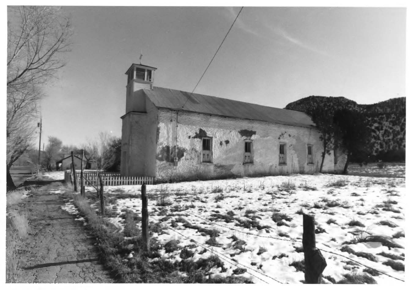
When the shooting stopped and the cattle drives moved elsewhere, Lincoln simply stopped changing. The population dwindled, businesses closed, and the buildings remained because no one had reason to tear them down. In 1960, the entire community was designated a National Historic Landmark, and a 1974 National Park Service reviewer called it the best-preserved frontier cow town in the United States. Today, the historic district contains 48 structures stretched along U.S. Route 380 between Capitan and Roswell. Four museum buildings operate year-round: the Old Lincoln County Courthouse where Billy made his escape, the Tunstall Store with its original nineteenth-century merchandise still on the shelves, the Torreon defensive tower where settlers once sheltered from Apache raids, and the Montano Store featuring exhibits on adobe construction and Hispanic frontier life. The San Juan Mission Church, built in 1887, still holds services. Walking Lincoln's single street is as close as America gets to time travel in the Old West.
The Escape That Made a Legend
Of all the gunfights, ambushes, and betrayals in Lincoln County, one moment defined the town forever. Billy the Kid had been captured, tried, and sentenced to hang for the murder of Sheriff William Brady during the Lincoln County War. He was held on the second floor of the courthouse, guarded by deputies James Bell and Robert Olinger. On April 28, 1881, while Olinger was across the street eating dinner, Billy overpowered Bell on the staircase and shot him with his own pistol. He then grabbed Olinger's shotgun from the gun rack, waited at the upstairs window, and when Olinger came running at the sound of gunfire, Billy called his name. Olinger looked up just in time to receive both barrels. Billy spent nearly an hour after the killings trying to free himself from his leg irons, borrowed a pickaxe from a local man, mounted a horse, and rode east toward Fort Sumner. The whole town watched him go. No one tried to stop him.
Lincoln From the Air
From above, Lincoln is a slender thread of settlement in a wide green valley. The town runs east-west along a single road, surrounded by ranch land and the broken terrain of the Capitan Mountains to the north and the Sacramentos to the south. The buildings cluster tightly along the main street, their flat roofs and adobe walls distinct against the summer grass or winter brown of the valley floor. The Torreon tower, originally built as a refuge from Apache attacks in the 1860s, stands near the center of town. To the west lies Capitan, home of Smokey Bear, about 12 miles distant. Roswell is roughly 35 miles to the east. There is no commercial airport in Lincoln, the nearest being Sierra Blanca Regional Airport in Ruidoso, about 45 miles south. The landscape tells the story of why Lincoln mattered: wide-open range country where cattle meant money, and money meant war.
From the Air
Lincoln sits at 33.495N, 105.382W in a narrow valley along U.S. Route 380 at approximately 5,700 feet MSL. The town appears as a single line of structures oriented east-west, easily visible against surrounding ranch land. Capitan Mountains rise to the north, Sacramento Mountains to the south. Nearest airport is Sierra Blanca Regional (KSRR) in Ruidoso, roughly 45 nm south. Roswell International Air Center (KROW) is about 35 nm east. Best viewed from 7,000-8,000 feet to see the town's linear layout in the valley context. Typically clear conditions; afternoon thermals possible near mountain terrain.