Linhuangfu
One hundred days. That is how long it took to build the capital of an empire. In 918, the Khitan leader Yelü Abaoji ordered the construction of a new imperial city in the Liaoxi steppe, the grassland homeland of the nomadic people who had forged the Liao dynasty. Under the supervision of an official named Kang Moji, the city rose from the plains at the southern end of the Greater Khingan Range, along the Shali River. Yelü Abaoji named it Shangjing, the Supreme Capital. It would later be known as Linhuangfu, and for two centuries it served as the heart of a dynasty that controlled the territory between China proper and the Mongolian steppe.
A Nomadic Capital That Stood Still
The paradox of Linhuangfu is that its builders were nomads who preferred tents. The Khitan court maintained a mobile lifestyle, constantly traveling across their vast empire even after constructing a permanent capital. Linhuangfu was modeled after the Tang dynasty capital of Chang'an, borrowing the Chinese urban template of walls, gates, and axial planning. But the Khitan adapted it to their dual identity. The city was divided into an Imperial City in the north, housing the ruling elite and the imperial family, and a Han City in the south, populated by the Han Chinese and other non-Khitan residents who had been resettled there. Some of these residents were refugees taken in by the Liao; others were soldiers and civilians captured during raids on northern China.
Two Cities, Two Worlds
The layout encoded the Liao dynasty's fundamental challenge: governing a settled agricultural population using the institutions of a nomadic warrior culture. The Imperial City's palatial district occupied the central-eastern portion, with a perimeter of 2.7 kilometers. A large Buddhist monastery was confirmed near the western wall, evidence of the religious syncretism that characterized Khitan culture. The Han City in the south functioned as a separate urban zone with its own economic life. The Shali River, which now separates the ruins of the two sections, may have always served as a natural boundary between the Khitan elite and their Chinese subjects. After the Liao conquest of the Korean-descended Bohai kingdom in 926, the capital was significantly expanded with new imperial palaces and additional residential quarters.
Conquest, Demotion, Destruction
Linhuangfu survived as the Liao dynasty's supreme capital for two centuries, but the Jurchens brought that era to a violent end. In 1120, the Jin dynasty conquered the city, destroying much of it in the process. The Jurchens redesignated it as the Northern Capital in 1138, a demotion from its former supreme status, and by 1150 it had ceased to be a Jin capital at all. The final blow came in 1214, when Mongol armies destroyed what remained. The city was abandoned afterward, left to the steppe grasses that had covered the land before Yelü Abaoji's builders arrived. What the Mongols left behind, time and weather slowly reduced to the archaeological ruins visible today.
Reading the Ruins
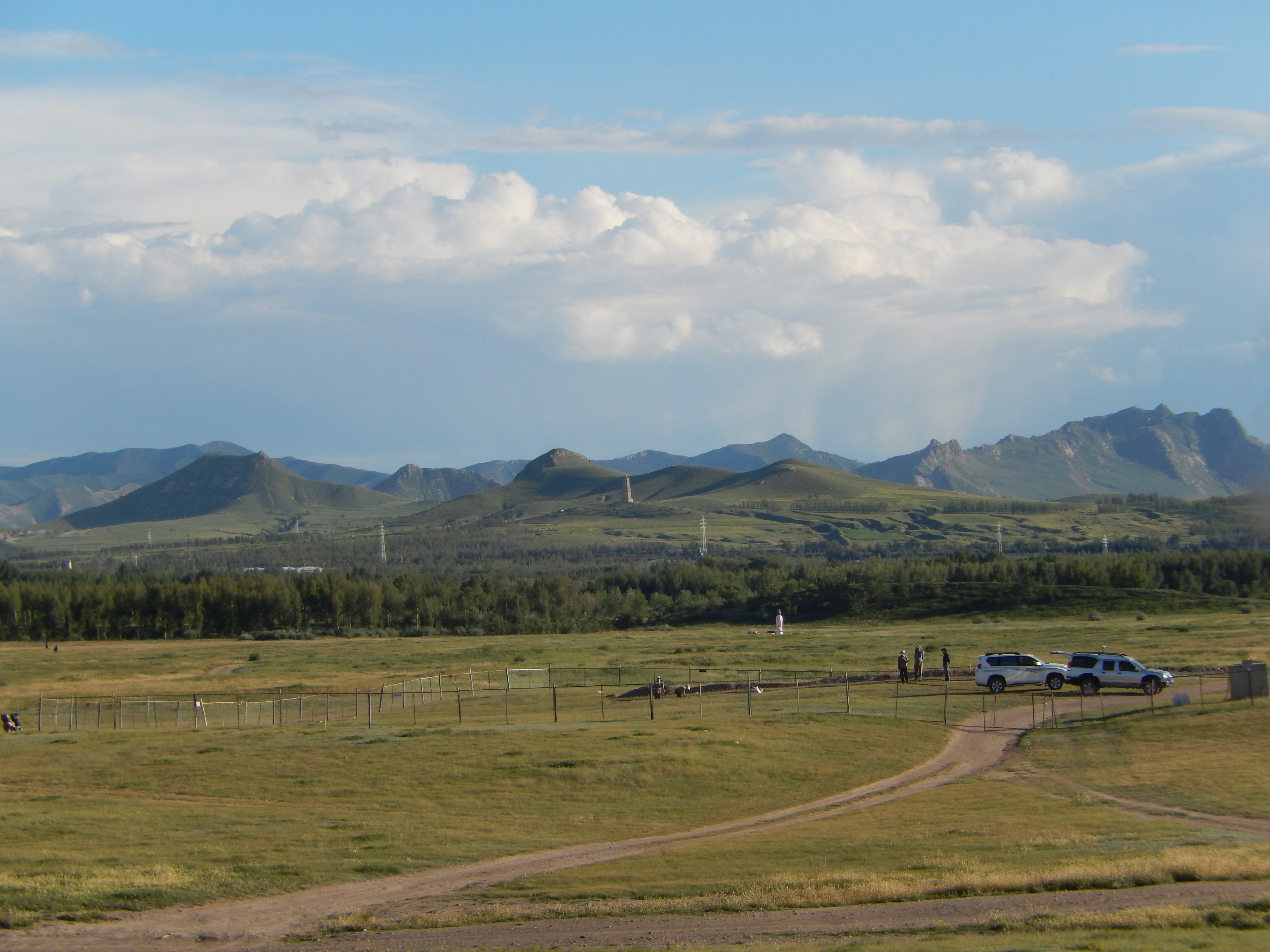
The ruins of Linhuangfu lie in present-day Baarin Left Banner in Chifeng, Inner Mongolia. Remains of the Dashun Gate, the southern entrance to the Imperial City, still show the rammed earth construction that formed the foundation of the walls. Archaeological work has confirmed the two-city layout described in historical texts, with the imperial and civilian zones clearly distinguishable in the site's footprint. For a city built in 100 days by nomads copying a Chinese blueprint, Linhuangfu proved remarkably durable in both physical and historical terms. The Liao dynasty it served is remembered as one of the most important non-Chinese states in East Asian history, and its capital remains a key site for understanding how steppe peoples adapted the technologies of settled civilization to their own purposes.
From the Air
Located at 43.96°N, 119.39°E in Baarin Left Banner, Chifeng, Inner Mongolia. The ruins are in a steppe landscape at the southern end of the Greater Khingan Range along the Shali River. Nearest airport is Chifeng Yulong Airport (ZBCF), approximately 120 km to the south. From altitude, the site appears as earthwork outlines in otherwise flat grassland, with the river visible nearby.