Long Island, Bahamas
The Tropic of Cancer does not announce itself when it crosses Long Island. There is no painted line on the road, no monument at the precise latitude where the sun reaches its northernmost point overhead each June. But the invisible boundary slices through the upper quarter of this 80-mile-long island like a quiet declaration: everything south of here is tropical. Long Island is one of the Bahamas' Out Islands, a slender ribbon of land just six kilometers wide at its broadest, situated 265 kilometers southeast of Nassau. Its two coasts could belong to different countries -- steep, wave-battered headlands on the northeast side, broad white-sand beaches stretching languidly along the southwest. Between them, the island holds blue holes, plantation ruins, cave systems once inhabited by the Lucayan Taino, and a farming tradition that grows food in holes in the limestone.
Into the Blue Darkness
West of Clarence Town, the ocean floor opens into Dean's Blue Hole, one of the world's deepest underwater sinkholes -- at 202 meters, the deepest in the Western Hemisphere. The circular opening drops roughly 200 meters straight down -- more than double the depth of most other blue holes on Earth. From above, it appears as a dark sapphire disc set into the surrounding turquoise shallows, the color shift so abrupt it looks artificial. Freedivers have used Dean's Blue Hole as a competition site, drawn by the calm, protected waters inside the hole and the sheer vertical walls that allow for deep descents without obstruction. For the rest of us, the site offers something rarer than a record-setting dive: a place where the ocean reveals how little we know about what lies beneath even the most familiar waters.
Columbus, or Maybe Not
Some historians identify Long Island as Fernandina, the third island Christopher Columbus visited during his 1492 voyage. Scholars Joseph Judge and Samuel Eliot Morison made this case, noting that the Lucayan people called the island Yuma, meaning "middle high land." Other researchers disagree, assigning the name Fernandina to Little Inagua, Great Exuma, or Andros Island instead. The debate may never be settled, but what is certain is that the Lucayan Taino lived here. Archaeological evidence, including ceremonial stools found in the island's cave systems, confirms their presence. The Spanish enslaved the Lucayans and transported them to Hispaniola and Cuba to labor in mines and on plantations. By the early 16th century, Long Island was empty. It would remain so until the Simms family arrived around 1720.
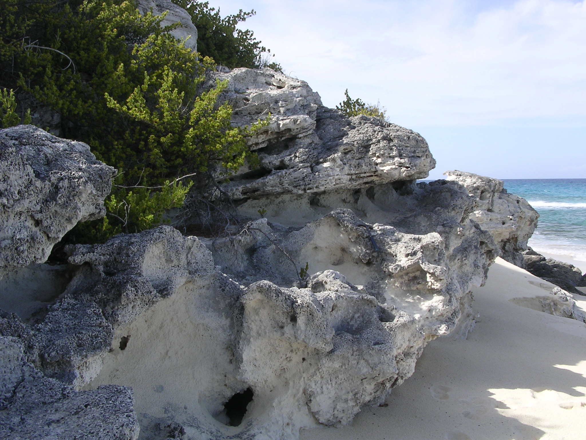
Loyalists, Cotton, and Collapse
The next wave of settlers came fleeing a revolution of their own. American Loyalists, primarily from New England and New Jersey, arrived on Long Island after the colonies won independence. They started farms, raising cattle and sheep on the thin soil. By the 1790s, settlers from the Carolinas followed, bringing enslaved people and ambitions to grow cotton. The plantations flourished briefly, but the soil was poor and yields dropped fast. By the time slavery was abolished in 1834, most plantations had already collapsed. Their ruins remain scattered across the island today, stone walls and foundations slowly disappearing under tropical vegetation. Houses built after emancipation still stand in some settlements -- small stone structures that once had thatched roofs, now mostly shingled. Most settlements carry the family names of the people who founded them: Gray's, Simms, Gordon's.
Farming in the Holes
Bahamian soil is notoriously inhospitable -- thin, alkaline, and sitting on porous limestone that drains water before roots can drink it. Long Island's farmers solved this problem with a technique as practical as it is improbable: pot-hole farming. Across the island, natural depressions in the limestone collect topsoil washed in by rain, creating small pockets of fertile ground surrounded by bare rock. Farmers plant peas, corn, and bananas directly into these holes. The method works well enough that Long Island produces surplus crops sold throughout the Bahamas, a remarkable achievement on an island where the bedrock fights every seed. Fishing, though, remains the economic backbone. The surrounding waters teem with life, and most families supplement whatever they grow with whatever they catch.
One Road, Two Airports, and All That Sand
A single road, originally built for horse-drawn carriages, runs the full length of Long Island from Cape Santa Maria at the northern tip to Gordon's at the southern end. Two small airports serve the island: Deadman's Cay Airport near the center, with Bahamasair service, and Stella Maris Airport in the north, designed and built in 1967 by an English engineer named Jack Henry Cordery who died on the island just a year later and is buried at Burnt Ground. Cape Santa Maria Beach, at the island's northern point, is frequently ranked among the most beautiful beaches in the world -- and unlike the manufactured paradise that luxury resorts try to sell, this one actually delivers. The sand is white, the water is clear, and the crowds are somewhere else entirely.
From the Air
Long Island stretches roughly 80 miles on a northwest-to-southeast axis at approximately 23.27N, 75.09W, about 150 nautical miles southeast of Nassau. The island is unmistakable from the air: a narrow ribbon of land with contrasting coasts -- rugged cliffs on the northeast, white beaches on the southwest. Dean's Blue Hole is visible as a dark circle in the shallows west of Clarence Town. The island has two airports: Deadman's Cay Airport (MYLD) near the center and Stella Maris Airport (MYLS) in the north. Approach from the southwest at 3,000-5,000 feet AGL for the best view of the beach coastline and the dramatic color transition where shallow turquoise water meets the deep ocean. Weather is generally clear outside hurricane season (June-November).