Los Angeles Metro Rail
For most of the twentieth century, Los Angeles was the city that had dismantled its trains. The Pacific Electric Railway — the "Red Cars" — had carried passengers across Southern California on hundreds of miles of track before the system was gradually shut down between the 1940s and 1961. The narrative of why has been contested ever since: the automobile industry conspiracy, the highway lobby, the economics of streetcar operations, or simply a city that chose the car. On July 14, 1990, Los Angeles started building it back.
July 14, 1990
The Metro Blue Line — now the A Line — opened on July 14, 1990, running 22 miles from downtown Los Angeles south to Long Beach. It was the first new rail transit in Los Angeles since the Red Cars' shutdown. The line followed, in parts, the right-of-way of the old Pacific Electric system, which the transit authority had preserved through decades of highway-first planning.
The opening was celebrated as a civic turning point and immediately complicated by a series of grade-crossing accidents that raised safety concerns and slowed ridership growth in the early years. The Blue Line was not a perfect system, but it was a system — proof that Los Angeles was willing to invest in mass transit at a scale it had not attempted in a generation.
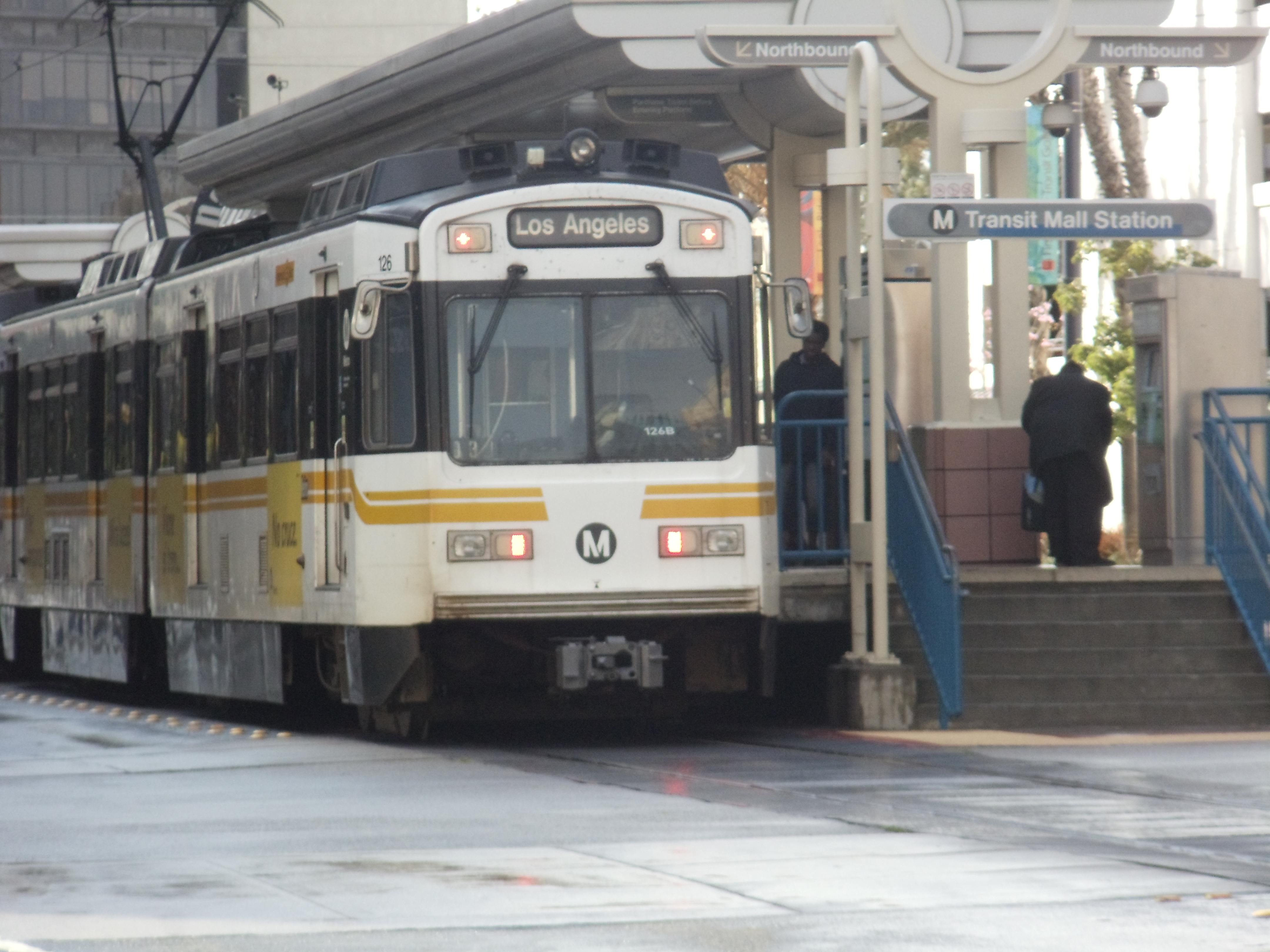
Six Lines, 107 Stations
The Metro Rail system today operates six lines. Four are light rail: the A Line (Blue, downtown to Long Beach), the C Line (Green, Norwalk to Redondo Beach), the E Line (Expo, downtown to Santa Monica), and the K Line (Crenshaw, Expo/Crenshaw to the South Bay). Two are heavy rail rapid transit: the B Line (Red, North Hollywood to downtown) and the D Line (Purple, downtown to Westwood).
The system has 107 stations and carries approximately 300,000 riders on an average weekday. Fares are capped at $5 per day or $18 per week. The A Line, at 22 miles, remains the longest light rail line in the system; the E Line, which opened its Santa Monica extension in 2016, brought rail to the ocean for the first time in decades.
The Metro Rail system is the largest light rail network in the United States by route miles.
What Was Lost and What Was Built
The Pacific Electric Red Cars at their peak carried passengers across more than 1,100 miles of track, connecting downtown Los Angeles to communities throughout the basin, to the beaches, and to the inland valleys. The Los Angeles Railway's Yellow Cars served the city's local street routes. Both systems declined as car ownership increased, highway construction expanded, and operating costs outpaced revenues.
The Metro Rail system that replaced them covers a fraction of that geographic reach, but it connects the points that generate the most transit demand: downtown, Hollywood, the Westside, the airport corridor, and the South Bay. The extensions that opened in the 2010s and 2020s — to Culver City, to Santa Monica, through Crenshaw — represent the most significant expansion in the network's history.
The Olympics and What Comes Next
Los Angeles is expanding its transit system at a pace driven in part by the 2028 Summer Olympics, which will bring millions of visitors to a region that has historically been difficult to navigate without a car. The Regional Connector, completed in 2023, linked the A, E, and L Lines through downtown without requiring a transfer, creating a through-running service that substantially improved the system's usefulness.
Additional extensions are under construction or in planning: the D Line Westside Purple Line Extension, which will eventually reach LAX; extensions to the East San Fernando Valley; and connections to the airport itself. The promise and the difficulty of transit in Los Angeles is the same as it has always been: the city is enormous, its destinations are dispersed, and building the kind of network that changes travel behavior takes decades of sustained investment. Thirty-five years in, the system has grown substantially. The city is still deciding how much further it wants to go.
From the Air
The Los Angeles Metro Rail system covers the LA Basin from the San Fernando Valley to Long Beach and from downtown to Santa Monica. The distinctive orange and silver Metro Rail trains are visible crossing at-grade through residential and commercial neighborhoods throughout the region. The elevated sections and rail rights-of-way are identifiable from the air as linear breaks in the urban grid.