Los Gatos Creek (Santa Clara County)
In 1839, a Spanish family scouting homestead land in the mountains south of present-day San Jose heard mountain lions roaring and fighting in the darkness. Rather than flee, they read the sound as a promise: where big cats gathered, water could not be far away. They found the creek and built a home near its banks, in what is now Vasona Lake County Park. The creek was later named for the Rancho Rinconada de Los Gatos -- the "Corner of the Cats" -- and the cats themselves, cougars and bobcats, still roam the upper watershed today. Los Gatos Creek runs 24 miles from the slopes of Loma Prieta in the Santa Cruz Mountains to its confluence with the Guadalupe River in downtown San Jose, and nearly every mile tells a different story.
Drowned Towns and Ghost Highways
The upper creek passes through some of the most dramatic human alteration in the Santa Clara Valley. In the 1950s, construction of the James J. Lenihan Dam created Lexington Reservoir, flooding a small valley that held two communities: the townsites of Lexington and Alma. The dam was completed in 1952, and Highway 17 had to be rerouted around the new body of water. When the reservoir's level drops low enough, the concrete bed of the old highway emerges from the water, along with foundations from buildings that once lined it -- a ghost landscape visible only in drought years. Downstream, the construction of State Route 17 through Los Gatos forced the creek into a concrete channel for 6,000 feet. A Caltrans magazine from the era described the project with the blunt optimism of postwar engineering: "a relocation of Los Gatos Creek." The Los Gatos Daily Times reported in August 1954 that bulldozers had "virtually completed clearing and leveling the bed."
The Valley That Sank
Below Vasona Park, Los Gatos Creek feeds percolation ponds that are part of a groundwater recharge system built by the Santa Clara Valley Water District -- a system born from crisis. In the 1920s, residents discovered that the Santa Clara Valley was literally sinking. Decades of aggressive groundwater pumping for agriculture had caused San Jose's elevation to drop 13 feet between 1910 and the 1970s, while the underground water table fell 250 feet. Saltwater from the bay began infiltrating the aquifers, threatening the entire water supply. The response was a network of local reservoirs, including Vasona and Lexington, designed to capture runoff and force it back underground. The water district managed to halt further subsidence by the 1980s, but the effort required decades of work, and Los Gatos Creek became a critical artery in the system. North of Lark Avenue, a structure resembling a fountain marks a point where imported water from other reservoirs is added to the creek for recharge.
Salmon in Silicon Valley
Every fall, Chinook salmon migrate up the Guadalupe River from San Francisco Bay and turn into Los Gatos Creek. Both Chinook and steelhead trout have been spotted as far upstream as Hamilton Avenue -- an improbable sight in a creek that threads through one of the most urbanized valleys in America. The salmon arrived as Central Valley hatchery strays in the 1980s, and genetic studies have shown they are closely related to Central Valley fall-run Chinook with ties to the Feather River hatchery. Steelhead have a longer, harder history here. A 1952 California Department of Fish and Game report noted that substantial runs had not been seen since 1937, when agricultural pumps dewatered the lower reach. Central California Coast steelhead populations persist in portions of the watershed today, but their presence is precarious -- a remnant of what was once abundant.
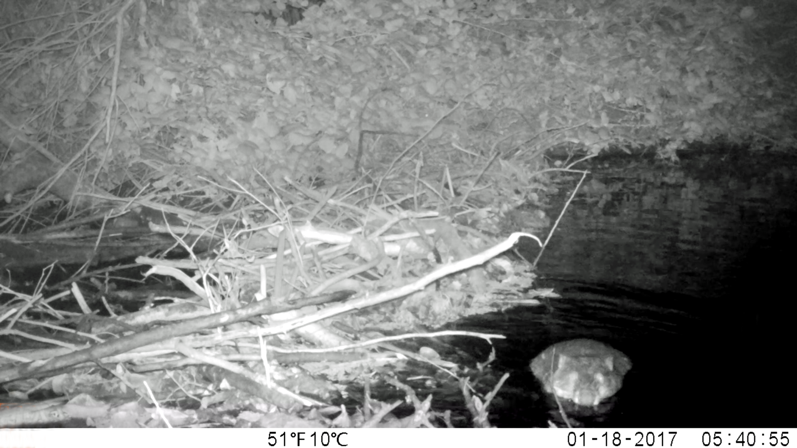
Wild Country Above the Reservoir
Between Lake Elsman and Lexington Reservoir, Los Gatos Creek is pristine and closed to the public. This stretch is a different world from the suburban creek below -- rainbow trout hold in shaded pools, beavers build dams across the current, and bobcats, wild boar, and mountain lions are all present. The beavers were restocked to the area sometime before spring 1992, and at least one reportedly ended up as a meal for a local puma. Historical records suggest beavers were once common here: Captain John Sutter recorded around 1840 that 1,500 beaver pelts had been sold by indigenous people to Mission San Jose, only 25 miles from the town of Los Gatos. A golden beaver skull collected by zoologist James Graham Cooper in Santa Clara on December 31, 1855, now sits in the Smithsonian Institution. Osprey, absent from the watershed for at least 150 years, began re-colonizing in 2004, nesting along the creek's upper reaches.
Twenty-Four Miles of Time
The Los Gatos Creek watershed drains 55.1 square miles. The creek originates at 2,350 feet on Loma Prieta Mountain, flows through Williams Reservoir and Lake Elsman, gathers tributaries with names like Hooker Gulch, Moody Gulch, and Limekiln Creek, then enters Lexington Reservoir. Below the dam it passes through Los Gatos, Campbell, and the Willow Glen neighborhood of San Jose before joining the Guadalupe River in the Guadalupe River Park. In 1866, extreme flooding cut a new channel through what is now Willow Glen, leaving behind a dry bed that gave Dry Creek Road its name. The Los Gatos Creek Trail follows the creek from Lexington Reservoir to downtown San Jose, popular with hikers and cyclists who trace the same path the water takes -- from mountain wilderness to urban confluence, through layers of history that the creek itself helped write.
From the Air
Los Gatos Creek runs 24 miles from Loma Prieta (37.10N, 121.84W) north through the Santa Clara Valley to the Guadalupe River in downtown San Jose (37.33N, 121.90W). From the air, the creek is traceable as a green corridor through suburban development, with Lexington Reservoir clearly visible as a large body of water along State Route 17. Vasona Reservoir and Los Gatos Creek Park are identifiable further downstream in the towns of Los Gatos and Campbell. Nearest airports: Reid-Hillview (KRHV, 4nm E of downtown San Jose), San Jose International (KSJC, 5nm NW), Moffett Federal Airfield (KNUQ, 10nm NW). Best viewed at 3,000-5,000 feet AGL to trace the creek's full course from mountains to city.