Lower Ninth Ward
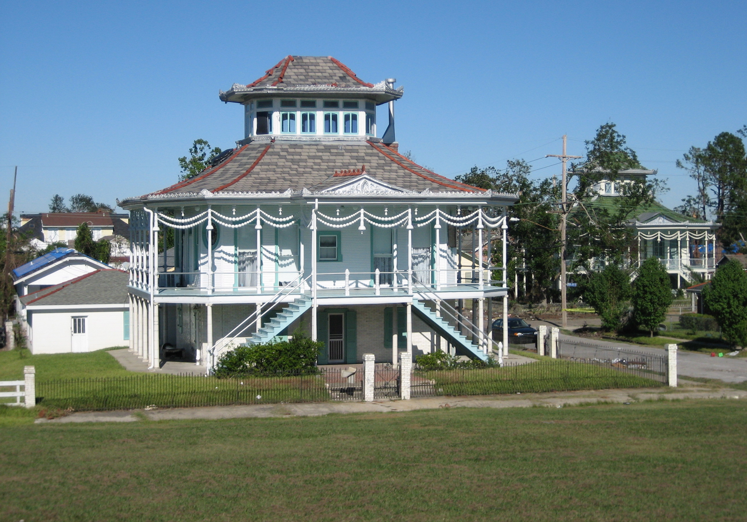
Before Hurricane Katrina, the Lower Ninth Ward had the highest rate of Black homeownership in New Orleans. The houses were modest -- shotgun doubles, Creole cottages, raised bungalows -- but they were owned, not rented, passed down through families who had put roots into this low-lying triangle of land east of the Industrial Canal. In 2000, the census counted 14,008 residents. By 2010, that number had fallen to 2,842. The arithmetic of catastrophe is blunt, but it does not capture what was lost: a neighborhood where people knew each other by name, where front porches served as living rooms, and where the phrase "across the canal" meant crossing into a world apart from the rest of New Orleans.
Roots in Marshy Ground
The Lower Ninth Ward was among the last districts developed in New Orleans, its low-lying, marshy terrain making it affordable to the city's poorest residents. After the Civil War, newly freed Black citizens and immigrant laborers settled the area despite regular flooding and outbreaks of disease. Municipal drainage systems arrived in the 1920s, but real development waited until the 1950s, when bridges connecting the Lower Ninth to the rest of New Orleans across the Industrial Canal sparked commercial and residential growth. By mid-century, the neighborhood had become a stronghold of working-class Black homeownership -- families who had built equity in a city where that opportunity was rare. Alfred Lawless High School served as the only public high school in the ward, and Holy Cross High School's campus anchored the riverside section of the neighborhood.
The First Flood
On September 9, 1965, Hurricane Betsy roared out of the Gulf of Mexico and up the Mississippi toward New Orleans with 150-mph winds. The storm surge drove water through the Intracoastal Waterway and into the Industrial Canal, breaching the levees that separated the canal from the Lower Ninth Ward. Homes flooded, possessions were ruined, and lives were lost. But the water receded relatively quickly, and the residents came back. They gutted their houses, replaced the drywall, and rebuilt. The neighborhood's character -- tight-knit, self-reliant, deeply rooted -- survived Betsy intact. In the decades that followed, however, white flight after school integration transformed the Lower Ninth into a neighborhood that was 98 percent African American, increasingly isolated from the city's economic mainstream but fiercely proud of its identity.
Nine Hundred Feet of Failure
On August 29, 2005, Hurricane Katrina pushed a storm surge sixteen to nineteen feet high through the Intracoastal Waterway and into the Industrial Canal. The levee walls cracked under the pressure. Then, between 7:30 and 7:45 that morning, nine hundred feet of floodwall collapsed near Claiborne Avenue on the canal's east side. The wall of water that surged through the breach was not a slow rise -- it was a violent, churning torrent that ripped houses from their foundations and deposited them blocks from where they had stood. Some homes ended up on top of other homes. Cars were tossed into trees. More than twenty feet of water submerged parts of the neighborhood. No area of New Orleans was hit harder, and none has recovered more slowly.
The Long Way Back
In the years after Katrina, the Lower Ninth Ward became a symbol of both devastation and determination. Brad Pitt's Make It Right Foundation built modernist homes in the neighborhood, drawing international attention. The nonprofit lowernine.org rebuilt 88 homes and completed repairs on over 250 properties. Spike Lee's documentary When the Levees Broke brought the ward's suffering to national audiences. But the numbers tell a harder story: the neighborhood's population remains roughly a third of what it was before the storm. Vacant lots outnumber occupied houses on many blocks, and the landscape has a strange, pastoral quality -- overgrown fields where dense rows of homes once stood. The 1994 film adaptation of Anne Rice's Interview with the Vampire had been shot along the Mississippi embankment here at Jackson Barracks, capturing a neighborhood that no longer exists in the same form.
Across the Canal
From the air, the Lower Ninth Ward is unmistakable. The Industrial Canal cuts a straight line separating it from the rest of New Orleans, and the grid of streets reveals the gaps -- empty blocks where neighborhoods once thrived, scattered new construction amid the green of untended lots. The Mississippi River curves along the southern edge, and Jackson Barracks occupies the southeastern corner. What strikes you is the contrast: dense urban fabric to the west of the canal, and something more sparse and tentative to the east. The Lower Ninth Ward is still a neighborhood, still home to families who refused to leave or chose to return, but it carries the visible weight of what happened here. It is a place where resilience is not an abstraction but a daily practice.
From the Air
The Lower Ninth Ward sits at 29.97N, 90.01W on the east side of the Industrial Canal in New Orleans. From the air, the canal itself is the key landmark -- a straight north-south waterway that visibly divides the denser western neighborhoods from the sparser eastern grid of the Lower Ninth. The Mississippi River curves along the south. Jackson Barracks is visible at the southeastern corner. Nearest airports: Louis Armstrong New Orleans International (KMSY) approximately 16 nm west, New Orleans Lakefront Airport (KNEW) about 5 nm north. Best viewed at 1,500-2,500 feet AGL to appreciate the contrast between the neighborhood's current state and the surrounding urban density.