Lubango
In 1882, roughly a thousand Portuguese farmers from the island of Madeira arrived in the highlands of southwestern Angola and began clearing land at 1,760 meters above sea level. They had come to a valley on the Huila Plateau where the air was cooler than anywhere else in Angola, where frosts occasionally touched the ground in June and July, and where the soil was fertile enough to grow cereals, tobacco, and fruit. The settlement they built would carry three names across three eras: Lubango first, then Sa da Bandeira under colonial rule, then Lubango again after independence. Each renaming marked a rupture. The city that exists today, home to nearly 900,000 people, is still sorting through what those ruptures left behind.
A Madeiran Transplant
The colonists who founded Lubango brought with them the architectural habits of Portugal. By 1910, over 1,700 ethnic Portuguese lived in the settlement, and they built it in the image of a metropolitan town: a cathedral, a commerce hall, an industrial hall, a secondary school, a town hall, a hospital, and the inevitable CTT post office. The Banco Nacional Ultramarino opened a branch. When the Mocamedes Railway reached Lubango in 1923, connecting it to the coastal town of Mocamedes, the settlement became a transportation hub as well as an agricultural one. The Portuguese government renamed it Sa da Bandeira, after Bernardo de Sa, the 1st Marquess of Sa da Bandeira, a 19th-century Portuguese statesman. The name carried the weight of empire. So did the city's demographics: several Baster families of mixed African and Dutch descent emigrated from Namibia and settled here, where they became known as the Ouivamo. Between 1928 and 1930, white South Africans forced many of them to return to Namibia.
The Cold City at War
Angola gained independence in 1975, a consequence of the Carnation Revolution that toppled Portugal's authoritarian government in April 1974. Lubango reclaimed its original name. But independence delivered the country into civil war almost immediately, and the fighting would last until 2002. During those twenty-seven years, Lubango served as a major base for Cuban troops, SWAPO guerrillas fighting South African control of Namibia, and Angolan government forces. The city's once-thriving economy collapsed under the strain. Known as the coldest city in Angola, with an average annual temperature of just 18.6 degrees Celsius and occasional winter frosts, Lubango endured the war years with a particular bleakness. The infrastructure the Portuguese had built aged without maintenance. The railway that had connected the highlands to the coast fell into disrepair. The agricultural economy that had sustained the region shrank as conflict disrupted supply chains and displaced rural populations.
Plateau Economics
Peace, when it finally came, found a city that needed to rebuild almost everything. Lubango's economy remains rooted in the fertile land surrounding it. Meat products, cereals, sisal, tobacco, fruits, and vegetables flow from the surrounding highland farms into the city's markets, where both kwanza and U.S. dollars change hands. Food processing and leather tanning anchor the industrial sector. A shopping mall called Milleneum opened in the city center, stocking cosmetics, shoes, and clothing alongside daily necessities. Angolan banks like BAI and BPC operate branches with ATMs dispersed across the city, and electronic fund transfers from abroad are now possible. The changes are real but uneven. Lubango remains a city where the formal economy sits alongside informal markets, where modern banking coexists with cash-based street commerce, and where the scars of war are still visible in the infrastructure.
Crossroads in the Highlands
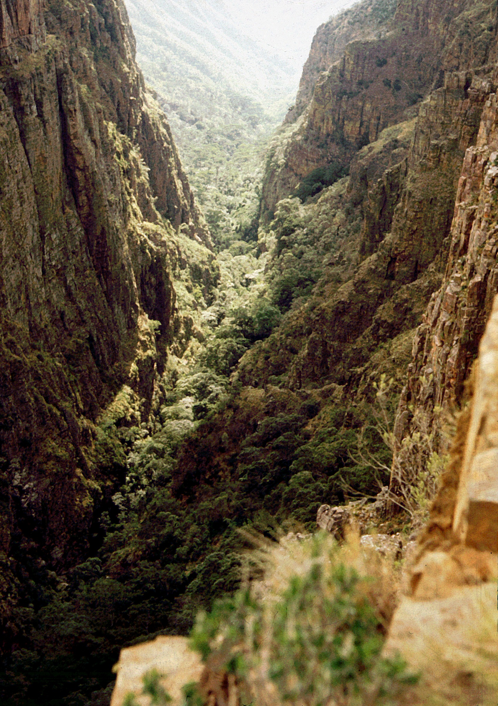
Lubango Airport, with the IATA code SDD, receives daily flights from the capital Luanda and three weekly connections to Windhoek, Namibia, via TAAG, Angola's national airline. The airport also serves as headquarters for a fighter bomber regiment of the Angolan Air Force, a reminder that peace here remains a relatively recent development. The Mocamedes Railway still runs through town, now known as CFM, with a branch line extending to Chiange. Shared taxis circle the city in fixed routes, private taxis are marked "PARTICULAR," and bus services connect Lubango to Lobito on the coast. Two public universities operate here: Mandume ya Ndemufayo University and the Higher Institute of Education Sciences of Huila. A Portuguese international school serves the remaining expatriate community. At 1,760 meters, surrounded by the plateau's mountain slopes, Lubango occupies a geographic position that has always made it a crossroads, a place where coastal trade routes meet highland agriculture, where colonial legacies meet post-independence ambition, and where the cold night air settles into a valley that has been continuously inhabited for well over a century.
From the Air
Lubango is located at 14.92S, 13.50E at an elevation of 1,760 meters on the Huila Plateau in southwestern Angola. Lubango Airport (FNUB, IATA: SDD) is immediately adjacent to the city and serves as both a civilian and military airfield. From 5,000-8,000 feet AGL, the city is visible as a substantial urban area in a highland valley surrounded by escarpment terrain. The Mocamedes Railway line is traceable running southwest toward the coast. Expect a subtropical highland climate with afternoon convective clouds during the wet season (December-March) and clear, cold conditions in the dry season. The plateau's western escarpment drops dramatically toward the coastal lowlands, creating turbulent conditions near the edge.