Lushunkou, Dalian
From a satellite, the feature that defines Lushunkou is impossible to miss: a near-perfect natural harbor at the extreme southern tip of the Liaodong Peninsula, its narrow entrance opening into a sheltered inner basin that looks more like a mountain lake than a seaport. That geography -- a harbor so well-protected it seemed designed by a military engineer rather than by geology -- is the reason five nations fought to possess this small piece of coast. China, Japan, Russia, the Soviet Union, and China again have each raised their flag over Lushunkou since 1894. Parts of it are still off-limits to foreign visitors.
The Port of Smooth Journeys
Lushunkou received its name in 1371, when a Ming naval expedition sailed from Penglai in Shandong across the Bohai Gulf to attack remaining Yuan dynasty forces on the Liaodong Peninsula. The future Yongle Emperor, then commanding frontier defense, named the landing site Lushunkou -- port of smooth journeys -- to commemorate the uneventful crossing. The Western name Port Arthur appeared in 1860, attributed either to Lieutenant William Arthur of the Royal Navy, who surveyed the harbor from the gunboat HMS Algerine, or to Prince Arthur, the ten-year-old son of Queen Victoria. The Liaodong Peninsula juts into the sea between the Yellow Sea to the southeast and the Bohai Sea to the west. Beijing lies almost directly across the Bohai Gulf. Whoever controlled this tip of land controlled the sea approaches to China's capital.
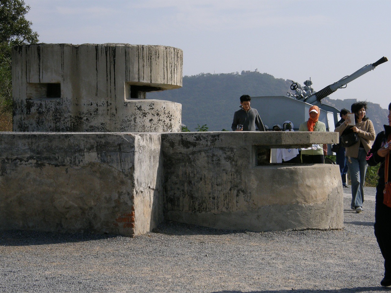
Krupp Forts and Qing Collapse
In the late 1880s, the German arms manufacturer Krupp was contracted to build fortifications around Port Arthur after Chinese contractors, as one account put it, had "made an extensive bungle of the job." The fortified port first drew international attention during the First Sino-Japanese War, when 15,000 Japanese troops defeated 13,000 Qing soldiers on 20-21 November 1894. The massacre that followed killed between 2,600 and 20,000 people. Japan won the Liaodong Peninsula in the 1895 Treaty of Shimonoseki but was forced to relinquish it under pressure from Russia, France, and Germany in the Triple Intervention -- a humiliation that festered for a decade. Russia then coerced its own lease in 1898, building Dalny (modern Dalian) nearby and connecting the peninsula to the Chinese Eastern Railway at Harbin. Tsar Nicholas II envisioned Port Arthur as the cornerstone of Russian Pacific power.
A Decade of Siege and Sovereignty
Japan attacked the Russian fleet at Port Arthur without declaring war on 9 February 1904, opening the Russo-Japanese War. The siege that followed was one of the longest and bloodiest of the early twentieth century, ending with the fortress's surrender on 2 January 1905. Japan governed the peninsula as the Kwantung Leased Territory, renaming the city Ryojun and building war monuments on Hill 203 and Baiyu Mountain. The Port Arthur-Harbin rail line became part of the South Manchurian Railway. After Japan's defeat in 1945, the Soviets administered the city, agreeing to a joint naval base with China. Mao Zedong actually asked Stalin to delay the Soviet withdrawal, fearing it would weaken Communist control in Manchuria. Soviet troops finally departed in 1955, and in 1960 Lushun City was redesignated as Lushunkou District under what was then called Luda -- renamed Dalian in 1981.
A District Still Guarding Its Secrets
Modern Lushunkou is a district of nearly 400,000 people, home to universities relocated from downtown Dalian and connected to Shandong province by the Bohai Train Ferry that has operated since 2006. The World Peace Park draws tourists to its western coast. Yet the city's southern half along Lushun South Road, central Lushun, and the Naval Port zone remain closed to foreigners -- a reminder that the strategic value identified by the Ming in 1371, exploited by the Qing, coveted by the Russians, and seized by the Japanese has not diminished in the age of satellite surveillance and carrier strike groups. The People's Liberation Army Navy maintains facilities here, successors to the Beiyang Fleet docks, the Russian naval base, and the Japanese Guard District that preceded them. Lushunkou's geography does not change with its flags. The harbor entrance remains narrow, the hills remain defensible, and the Bohai Gulf remains the approach route to Beijing.
From the Air
Located at 38.85N, 121.26E at the southern tip of the Liaodong Peninsula. From altitude, the natural harbor is the most distinctive feature -- a narrow channel opening into an almost lake-like inner basin. Central Dalian is approximately 35 km northeast. Dalian Zhoushuizi International Airport (ZYTL) serves as the nearest major airport. The peninsula's geographic position between the Yellow Sea and Bohai Sea is best appreciated at 8,000-15,000 ft. Note: portions of Lushunkou remain military restricted zones.