Mahajanga: Madagascar's Sunlit Gateway
Mahajanga is famous throughout Madagascar for a quality that no guidebook can fully convey: its atmosphere. Located on the sunnier western coast where the Mozambique Channel meets the island, this port city escapes the relentless rains that drench the eastern seaboard and offers something rarer still - a place where the pace genuinely slows, where the locals are known across the entire island for friendliness, and where the surrounding landscape shifts from baobab-studded savanna to crimson sandstone cliffs within a short drive. It is Madagascar's main tourist destination, and the gateway to some of the island's most extraordinary natural wonders.
Where the Red Earth Meets the Channel
The Cirque Rouge, a short distance from the city, is the most visually striking introduction to Mahajanga's geology. Layers of sandstone and laterite in shades of crimson, ochre, and violet have eroded into an amphitheater of pinnacles and gullies that glow in the late afternoon light. But the spectacle extends well beyond this single formation. The Katsepy peninsula juts out across the bay, accessible by ferry, its lighthouse marking the channel's approach. Underground, the Anjohibe caves open into chambers and passages carved through limestone, a cooler counterpoint to the heat above. And to the south, the Ankarafantsika National Park and the Bay of Baly National Park protect dry deciduous forest and the coastal wetlands that sustain some of Madagascar's rarest species, including the critically endangered ploughshare tortoise.
The Long Road from the Capital
Mahajanga sits at the northern end of National Road N4, 560 kilometers from the capital Antananarivo. The road is paved and in generally good condition, but it is narrow, winding through mountainous terrain where damaged sections grow more frequent north of Maevatanana. The journey takes roughly eleven hours by road - long enough that flying remains the practical choice for most visitors. Madagascar Airlines connects Mahajanga to Antananarivo, Nosy Be, and Antsiranana, while EWA Air runs flights from Dzaoudzi in Mayotte, linking this Malagasy port to the French overseas territory across the channel. More than fifty hotels cater to the range of travelers who arrive by either route, from families riding the taxi-brousse buses from the highlands to tourists flying in from abroad.
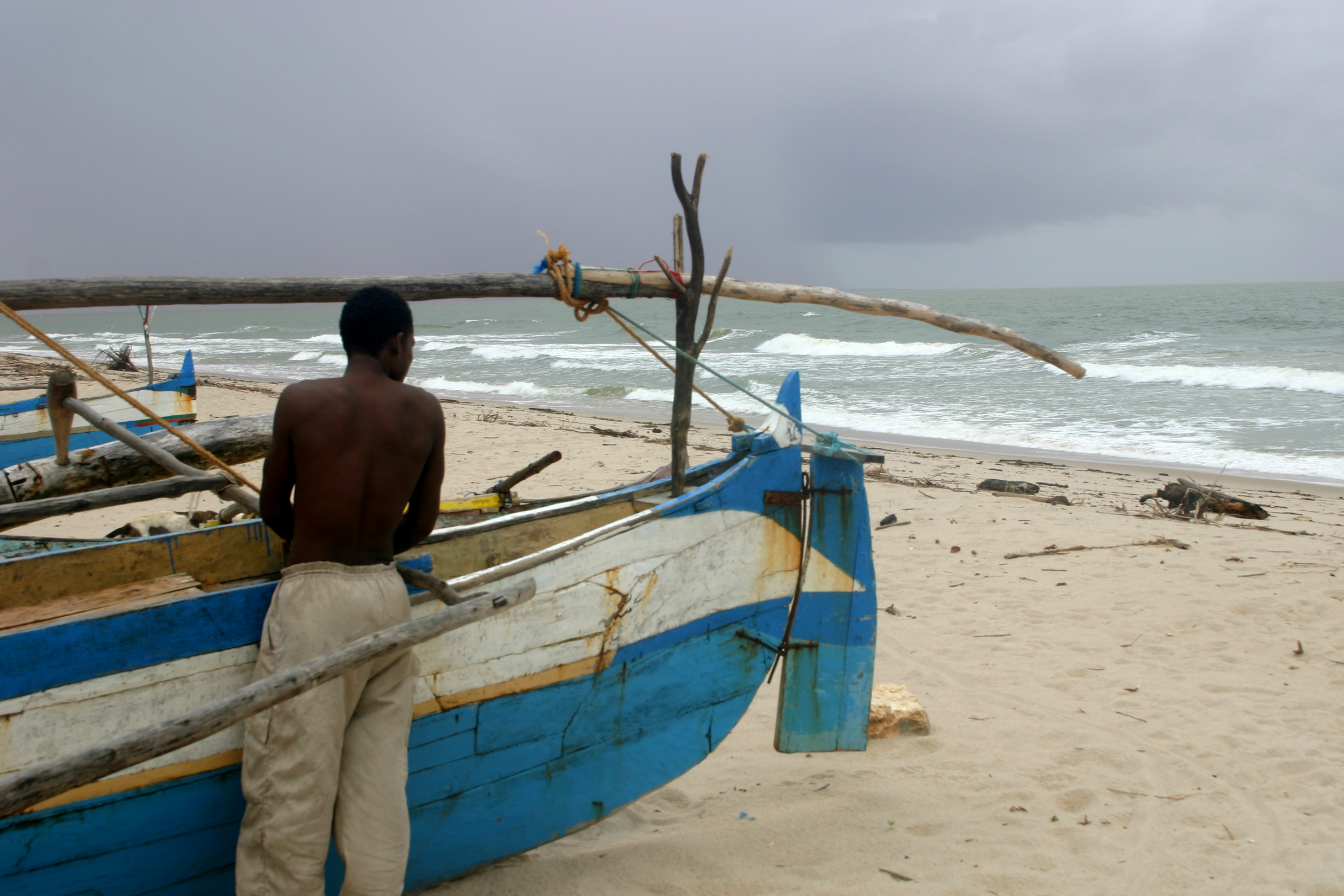
A Compact City on the Water
Mahajanga's city center is small enough to walk, and the bajaj - the local tuk-tuks - fill in the gaps for a fare of about 2,000 ariary. The area south and east of the town hall spreads into a large open market, its stalls reflecting the mixed heritage of a port that has traded with East Africa, the Middle East, and South Asia for centuries. Several banks with functioning ATMs line the central streets, a practical detail that matters in a country where cash infrastructure can be unpredictable. The waterfront provides the city's natural gathering point, though the harbor itself is modest - the country's main international port is in Toamasina on the east coast, not here. What Mahajanga offers instead is a working coastal city that has not been polished for tourism, where the appeal lies less in monuments than in the daily rhythms of a place that faces the warm waters of the Mozambique Channel and has decided, collectively, not to rush.
From the Air
Located at 15.72S, 46.32E on the northwestern coast of Madagascar, facing the Mozambique Channel. Mahajanga Amborovy Airport (FMNM/MJN) is located just north of the city. The city sits at the mouth of the Betsiboka River, one of Madagascar's largest, whose red sediment plume is visible from altitude extending into the channel. Best viewed at 3,000-5,000 feet. The Katsepy peninsula across the bay and the Cirque Rouge formations to the northeast are distinctive landmarks. The contrast between the red laterite soil and turquoise channel water is striking from above.