Makatote Viaduct
When the builders ran out of cement in 1907, they improvised. When floods swept away their scaffolding, they rebuilt. When they could not find enough workers willing to endure the isolation, they advertised for men with stronger constitutions. The Makatote Viaduct took three years of this kind of stubbornness to complete, spanning the Makatote River on the North Island Main Trunk railway between Auckland and Wellington. When it opened in 1908, it was the tallest viaduct in New Zealand. More than a century later, trains still cross it daily - electric locomotives hauling freight where steam engines once labored through volcanic hill country.
Bridging the Volcanic Interior
The North Island Main Trunk railway was New Zealand's most ambitious infrastructure project of the early twentieth century: a line connecting Auckland and Wellington through some of the most difficult terrain in the country. The central section, threading between the volcanic peaks of Ruapehu and Tongariro, required a series of massive viaducts to cross the deep river valleys that carved through the landscape.
Peter Seton Hay, later Engineer-in-Chief of the Public Works Department, designed the Makatote Viaduct along with most of the other NIMT bridges. The Christchurch firm of J. & A. Anderson & Co won the construction contract. The viaduct combines steel plate girders on its outer spans with five central Pratt trusses, each 30.5 meters long, supported on steel trestles rising from reinforced concrete footings. It was estimated to cost 43,132 pounds; the final bill came in at roughly 53,369 pounds - equivalent to about 8.6 million New Zealand dollars in 2016 terms.
A Construction of Stubborn Men
Two years were allotted for construction. The contract overran because nature and logistics conspired against the builders at every turn. Foundations proved treacherous - Pier 7 was found to have what engineers diplomatically called a 'rotten foundation' and required deeper footings. Cement was in short supply across the country in 1907. Floods and bad weather repeatedly halted work. And there was the persistent problem of finding men willing to work in such a remote location, described in the official records as a 'want of sufficient suitable men.'
Rather than ship prefabricated steel girders overland from the firm's base in Lyttelton on the South Island, Anderson & Co chose to fabricate the steelwork on site. Materials arrived by train to the nearest railhead and then along a new access road. A telephone line to nearby Ohakune was strung in 1906, connecting the isolated construction camp to the outside world. During building, the camp doubled as a lunch stop for coach passengers traveling between the temporary railheads at Ohakune and Raurimu.
A Century of Heavier Loads
The viaduct was designed for 84-ton locomotives, but even before the line officially opened, 94-ton X Class engines were already crossing it. This set the pattern for the next hundred years: the bridge perpetually reinforced to carry loads its designers never anticipated. Strengthening work between 1925 and 1932 increased the allowable axle load to 14 tons, accommodating the 135-ton K Class and 145-ton Ka Class locomotives that hauled the famous Daylight Limited express.
The most dramatic transformation came between 1983 and 1989, when electrification brackets were bolted to the viaduct's western face and the structure was reinforced for 105-ton EF Class electric locomotives. A major refurbishment in 2007 underpinned the tower piers, using 330 tons of scaffolding suspended below the bridge. Workers contended with springs, heavy rain, snow, and high winds but finished on schedule. During both the 2007 and 2014 maintenance campaigns, crews took care to protect rainbow and brown trout in the river below, and a family of whio - the endangered native blue duck - nesting near the base of the piers.
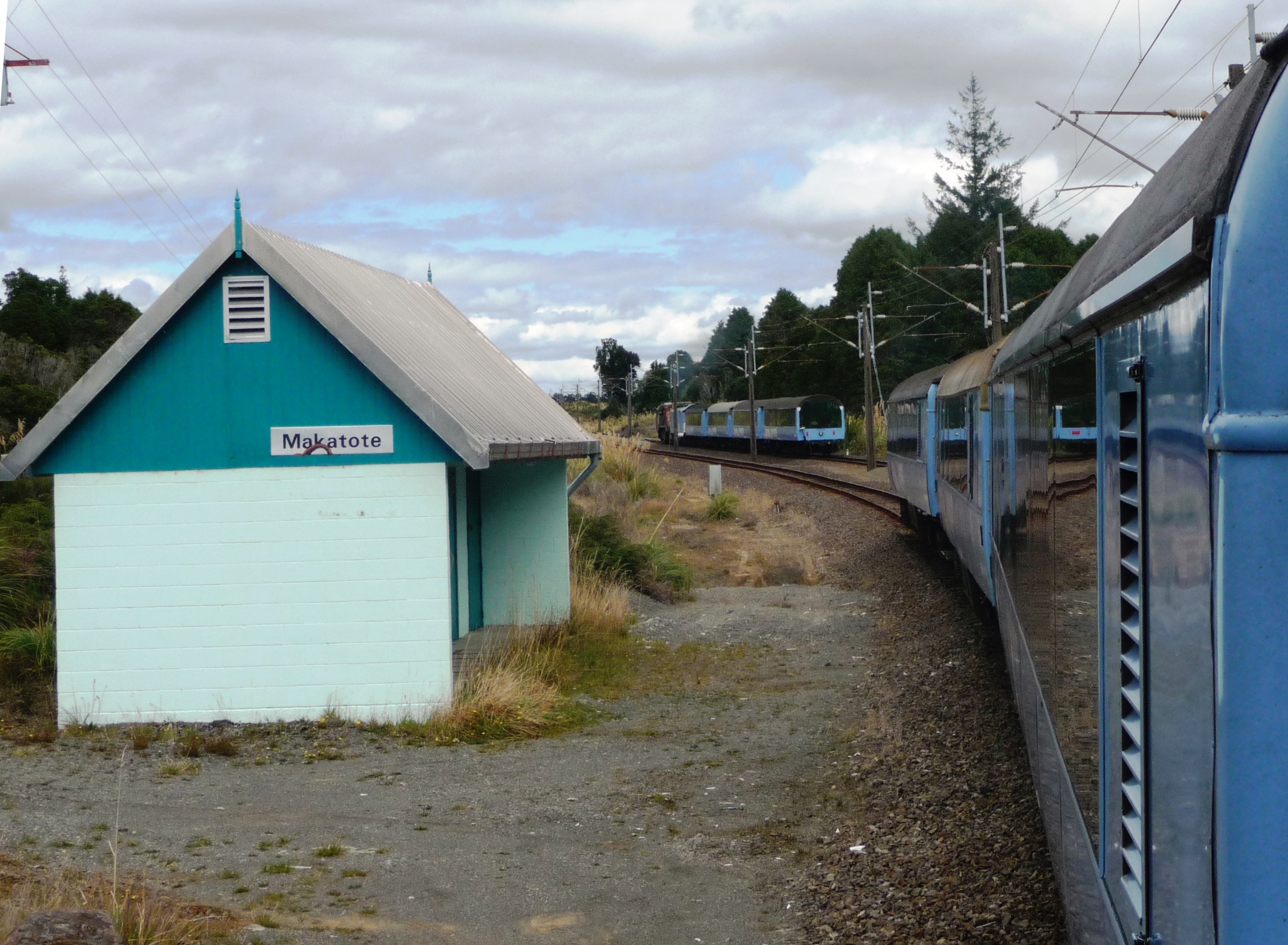
The Station That Vanished
For a brief period, Makatote was more than a viaduct - it was a destination. A station opened near the bridge while the through line was still under construction, serving as the northern terminus of the railway. Passengers arriving from Auckland transferred to coaches for the nine-mile, two-and-a-half-hour journey to Ohakune, where they could catch a southbound train to Wellington. A second-class ticket for the full Auckland-to-Wellington journey, including the coach segment, cost one pound, seventeen shillings, and twopence - roughly 300 New Zealand dollars in modern terms.
The station handled mail transfers from August 1907 and goods from May 1908. But its usefulness was short-lived. When the through line opened in late 1908, Makatote station closed on 4 January 1909, just five months later. The viaduct it served, however, has outlasted it by more than a century. In 1986, a new passing loop was built about 600 meters north of the original station site, giving the location a modest second life as a place where trains wait for each other before crossing the old bridge.
From the Air
Located at 39.27S, 175.39E on the North Island Main Trunk railway, between Ohakune and National Park village. The viaduct crosses the Makatote River valley in the volcanic hill country between Mount Ruapehu and Mount Tongariro. From the air, look for the steel truss structure spanning the valley alongside State Highway 4. Best viewed at low altitude (below 3,000 ft) for the bridge structure to be visible against the forested terrain. Nearest airports: Ohakune Airfield (no ICAO), Waiouru Military Airfield (NZOU) approximately 30 km south. Mount Ruapehu (2,797m) dominates the skyline to the southeast. Weather in this volcanic plateau region is changeable; expect cloud, wind, and rapid temperature drops.