Makgadikgadi Pan
Two hundred thousand years ago, give or take, the ancestors of every human alive today may have walked the shores of a vast lake in what is now northeastern Botswana. The lake is gone. What remains is the Makgadikgadi Pan -- 16,000 square kilometers of salt flats, cracked clay, and seasonal grassland that together form one of the largest salt pans on Earth. Studies of mitochondrial DNA have pointed to this region as a likely homeland of modern Homo sapiens, a claim that gives the blinding white emptiness of the dry season an almost sacred weight. Stand here and you are standing, quite possibly, where the human story began.
The Lake That Vanished
Lake Makgadikgadi once covered an area larger than Switzerland, fed by rivers that no longer reach it. The ancient lake filled the Kalahari Basin for millennia, draining into the Indian Ocean via the Limpopo River until tectonic shifts redirected its water sources. As the lake shrank over tens of thousands of years, it left behind relic shorelines still visible in the basin's southwestern reaches and deposited the thick salt crust that defines the pans today. What appears to be a single flat is actually a complex of several pans -- the Sua, Ntwetwe, and Nxai -- separated by sandy desert. The largest individual pan, Sua, covers roughly 1,900 square miles, its lowest point sitting at an elevation of 2,920 feet. Kubu Island, an outcrop of igneous rock in the southwestern corner of Sua Pan, rises from the salt flat like a ship's hull, crowned with ancient baobab trees and protected as a national monument.
Seasonal Resurrection
For most of the year, the Makgadikgadi is a place of salt and silence. Hot winds scour the surface, and the only birds tough enough to endure are ostriches and small plovers picking through the crust. Then the rains come. The Nata River, flowing 330 kilometers from its source near Bulawayo in Zimbabwe, delivers water to the pans, and a smaller contribution arrives via the Boteti River from the Okavango Delta. The transformation is dramatic. Shallow waters spread across the flats, grass erupts along the margins, and the pans become a refuge for one of Africa's largest zebra populations, along with herds of wildebeest and the predators that follow them. Greater flamingos arrive to breed on the Sua Pan -- one of only two breeding sites for the species in all of southern Africa, the other being Etosha in northern Namibia. Great white pelicans, ducks, and geese fill the air. A landscape that seemed lifeless weeks earlier becomes one of the continent's great wildlife spectacles.
Baobabs, Explorers, and Stone Tools
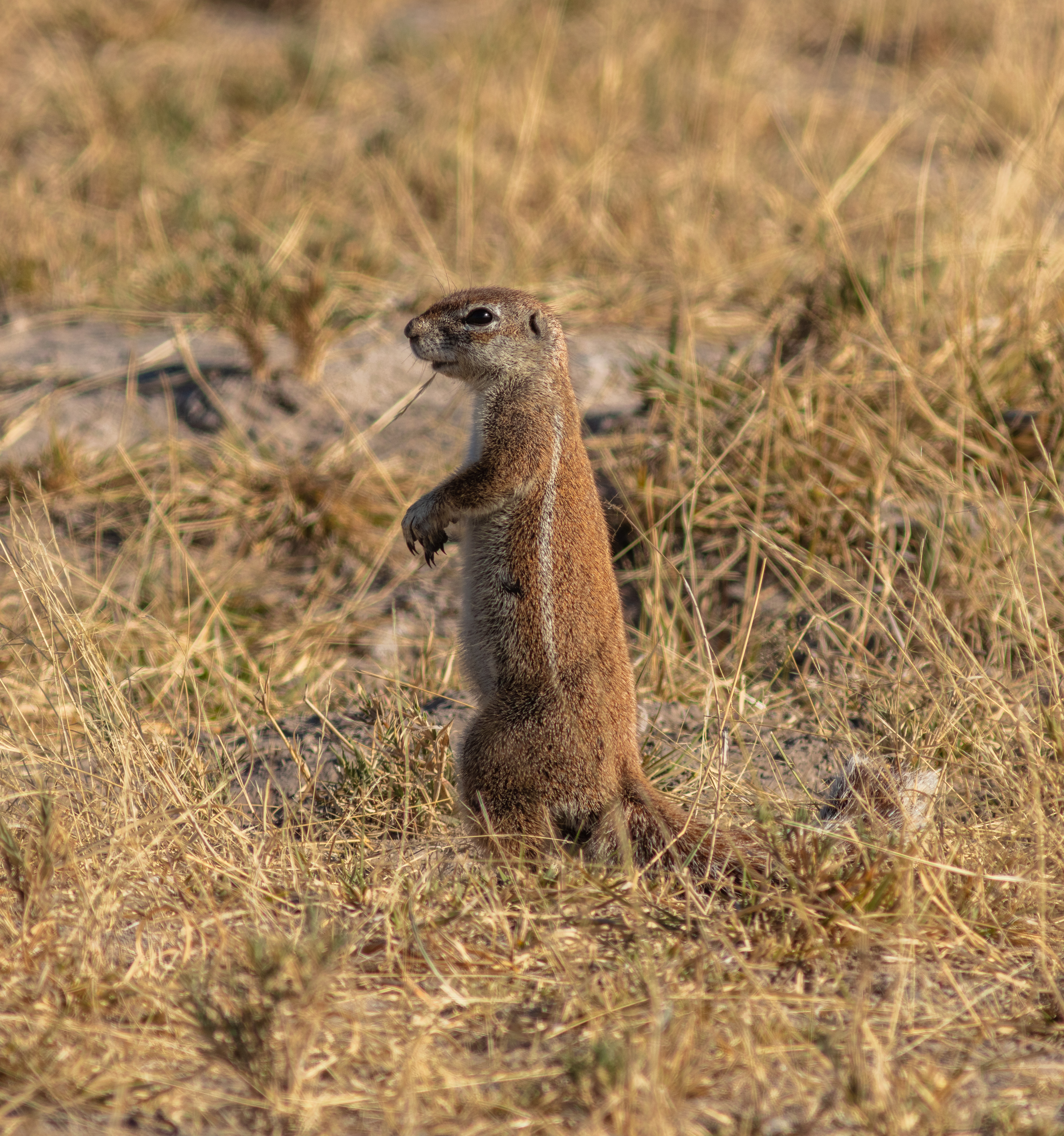
The baobab trees scattered around the Makgadikgadi are more than landmarks -- they are witnesses. One of them, named after the nineteenth-century explorer James Chapman, served as an informal post office where travelers left letters for those who would pass next. In the Nxai Pan, a cluster of baobabs painted by British artist Thomas Baines in the 1860s still stands, recognizable from his original watercolors. Beneath the surface, the archaeological record runs far deeper. Stone tools recovered from the Makgadikgadi predate Homo sapiens entirely, establishing that earlier hominins walked this ground when it was lush with water and vegetation. Pastoralists herded livestock here during wetter periods of the Holocene, adding another layer to a human presence that stretches back further than almost any other place on Earth. The grasslands fringing the pans also harbor their own endemic species, including the Makgadikgadi spiny agama, a lizard found nowhere else.
Salt, Soda Ash, and an Uncertain Future
The pans' extreme inhospitality has been their best defense. Human intervention remained minimal for millennia simply because the Makgadikgadi offered little incentive to intervene. That has changed. Commercial salt and soda ash extraction began on Sua Pan in 1991, and proposals to divert water from the Nata River for irrigation threaten to starve the ecosystem of the seasonal floods on which everything depends. Fencing erected around grazing land has blocked wildlife migration corridors, and off-road vehicles driven by tourists have disturbed flamingo breeding colonies. Illegal hunting persists within the national parks. Protected areas exist within the Makgadikgadi and Nxai Pan National Park, and the Nata Sanctuary provides a refuge for birdlife and antelopes on Sua Pan. But the balance remains fragile. A place that has endured for hundreds of thousands of years could be diminished in decades if the pressures are not managed.
From the Air
The Makgadikgadi Pan is centered at approximately 20.72°S, 24.95°E in northeastern Botswana. From altitude, the pans are unmistakable -- vast white expanses of salt flat contrasting sharply with the surrounding tan and green of the Kalahari. The Sua Pan (eastern) and Ntwetwe Pan (western) are the two largest visible features, separated by a strip of desert. Kubu Island appears as a dark speck in the southwestern Sua Pan. During wet season, shallow water creates a reflective sheen across portions of the pans. The nearest major airport is Maun (FBMN), roughly 170 km to the northwest. Nata airstrip lies to the northeast. The town of Gweta provides a southern access point. Visibility is excellent in the dry season; dust storms and seasonal thunderstorms can reduce it significantly during the wet.