Makimuku Ruins
It appeared suddenly at the beginning of the 3rd century, fully planned, enormous, and unlike anything else on the Japanese archipelago. The Makimuku ruins sprawl across 2.5 kilometers east to west and 2 kilometers north to south at the foot of Mount Miwa in Sakurai, Nara Prefecture -- a settlement ten times larger than the Karako-Kagi site, the next biggest settlement of its era. Fifteen percent of the pottery excavated here was imported from distant provinces: Tokai, Hokuriku, Sanin, Kibi, Setouchi, and Kyushu. This was not a farming village that grew organically. This was something built on purpose, by people drawing on resources and labor from across the archipelago. Some archaeologists believe it was the capital of the Yamato kingdom. Others go further and argue it was Yamatai -- the semi-legendary realm of Queen Himiko described in Chinese chronicles.
Canals, Ditches, and Engineering on a Grand Scale
Two massive artificial waterways run through the Makimuku site, each five meters wide and one meter deep, their banks reinforced with driven sheet piles. The South Ditch originates near the moat of the Hashihaka Kofun -- Japan's oldest giant keyhole-shaped burial mound -- and runs northwest for over a kilometer. The North Ditch draws from the old Makimuku River and flows southwest. The two channels converge on the grounds of modern Makimuku Elementary School, forming an engineered waterway system estimated at 2,600 meters in total length that ultimately connects to the Yamato River and, through it, to the open sea. This was civil engineering on an urban scale, carried out in an era when most Japanese settlements were clusters of pit dwellings. The site contains few domestic utensils but abundant construction tools, suggesting that much of the labor here was dedicated to building the city itself.
Ritual Pits and Sacred Objects
Approximately 150 irregularly shaped circular pits, each about three meters across and one and a half meters deep, are scattered across the site's fringes. Spring water seeps into their bottoms. Inside them, archaeologists found pottery, wooden implements, weaving tools, winnowing baskets, burnt wood, and enormous quantities of rice husks -- the remains of agricultural rituals performed repeatedly over generations. The ritual character of the site runs deep: roughly 30 percent of all excavated remains are classified as ritual-related. Fragments of dotaku bronze bells, boat-shaped and bird-shaped wooden vessels, and discs inscribed with complex arc patterns testify to a ceremonial life of remarkable richness. In 2010, over 2,000 peach pits were discovered, believed to have been used in purification rites. In 2011, excavators found bones from red seabream, mackerel, carp, wild boar, deer, and duck -- the remnants of what appear to be elaborate ritual feasts.
The Himiko Question
The Hashihaka Kofun, a 280-meter keyhole tomb located about one kilometer south of the main settlement, sits at the heart of one of Japanese archaeology's most heated debates. Some researchers, including archaeologist Shiraishi Taichiro, argue that it could be the tomb of Himiko, the shamaness-queen described in the Chinese Wei Zhi chronicle as ruling over Yamatai in the 3rd century. The circumstantial evidence is intriguing: the tomb dates to roughly Himiko's era, and the Makimuku settlement shows signs of centralized political authority. But skeptics point out that the Wei Zhi describes Himiko's tomb as roughly 100 paces in diameter -- about 30 meters using the short unit of measurement common in the text -- while the Hashihaka Kofun's rear circle alone measures 160 meters across. Others note that the site has yielded no Han-dynasty mirrors or continental swords, the kind of diplomatic gifts one would expect at a court that the Wei Zhi says exchanged envoys with the Chinese kingdom of Wei.
A City That Archaeology Is Still Uncovering
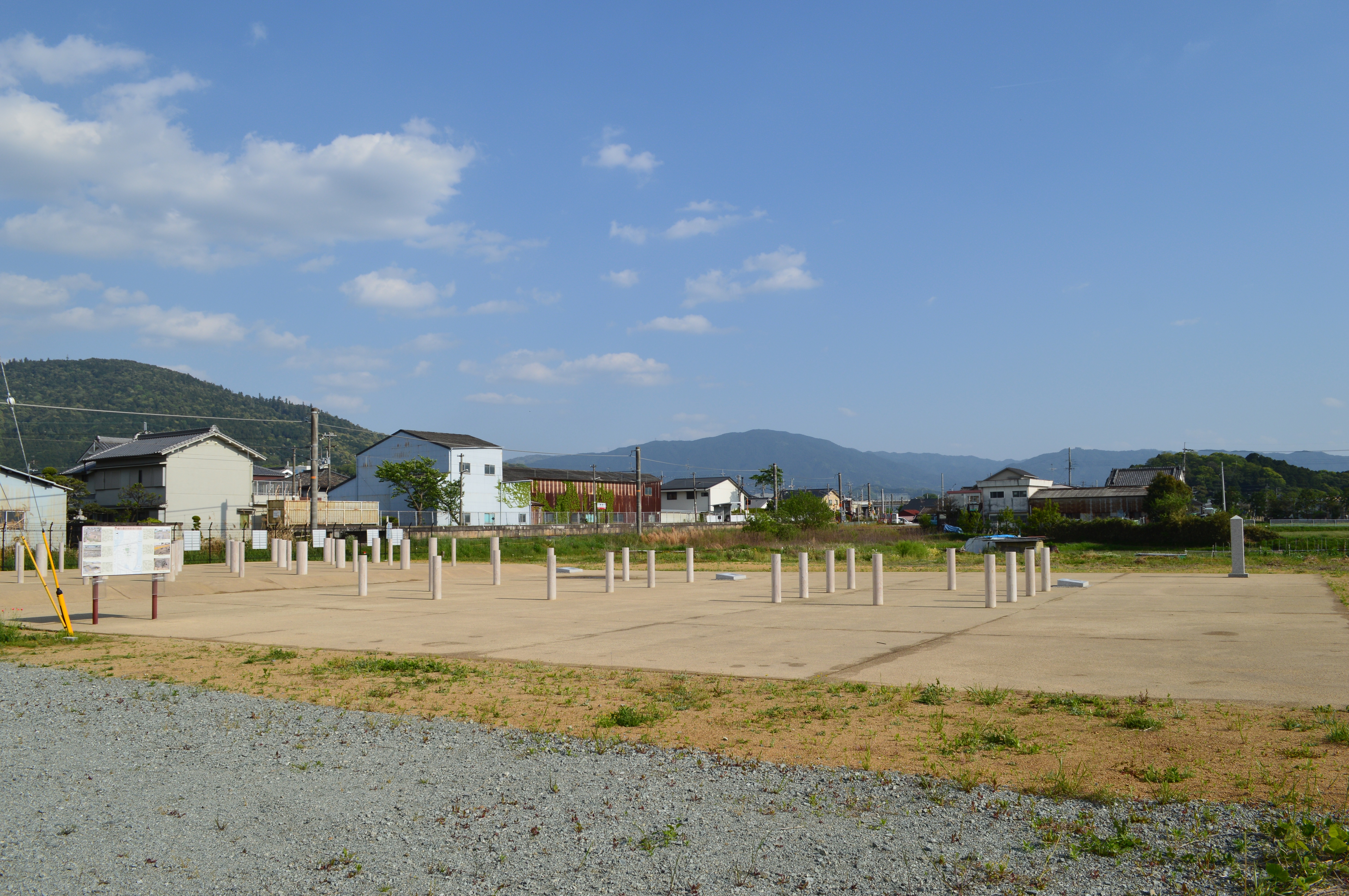
Only a small portion of the Makimuku ruins has been excavated. The site was first identified in 1937 by researcher Minoru Doi as the "Ohta Site," and for decades it attracted little attention. That changed when a plan to build prefectural housing triggered a preliminary survey by the Kashihara Archaeological Institute. The discovery of a canal structure over 200 meters long launched systematic excavation that has continued since 1971. In 2013, more than 100 postholes were found from a 3rd-century building that appears to have been constructed and demolished multiple times -- possibly a palace or ritual hall rebuilt for successive rulers. The site was designated a National Historic Site of Japan in 2013. Today, the ruins lie beneath the modern neighborhoods of Sakurai city, their outlines marked by signage and walkways, while Mount Miwa rises to the southeast, the sacred mountain that the ancient inhabitants of Makimuku would have seen every morning, and that some scholars believe was the spiritual anchor of whatever power ruled here.
From the Air
Located at 34.546N, 135.840E at the foot of Mount Miwa in Sakurai, Nara Prefecture. The site is largely beneath modern development but the Hashihaka Kofun (280m keyhole tomb) is clearly visible as a massive tree-covered mound about 1km to the south. Multiple other kofun dot the landscape. Nearest major airports: Kansai International Airport (RJBB) approximately 45nm southwest, Osaka Itami (RJOO) approximately 25nm northwest. Mount Miwa (467m) is a prominent visual landmark to the southeast. Best viewed at 3,000-5,000 feet AGL to see the relationship between the settlement area, the kofun cluster, and Mount Miwa.