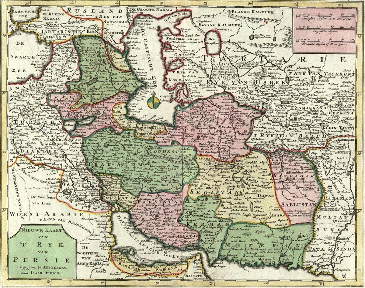
Makran
Even the mutton tastes of fish. That observation, recorded by Nearchus when Alexander the Great's admiral sailed these waters in 325 BC, captures something essential about the Makran coast. The ancient Greeks called the people here Ichthyophagoi -- fish eaters -- and from the Persian translation mahi khoran, the entire region may have taken its name. Stretching along the Gulf of Oman from Karachi's Sonmiani Bay in the east to Iran's Sistan and Baluchestan province in the west, Makran is a semi-desert coastal strip bisected by the modern Pakistan-Iran border. It is one of the most sparsely inhabited coastlines in the world, and one of the most historically layered.
Before the Pyramids
The Kech-Makran region was inhabited as early as the 5th millennium BC. At the site of Miri Qalat, investigated by French and Pakistani archaeologists from 1987 to 2007, massive quadrangular stone buildings were constructed before 4000 BC. The earliest settlers cultivated wheat, barley, and lentils, domesticated cattle, goats, and sheep, and caught fish from the sea. They worked with flints and bone tools but had not yet developed ceramics. By the time the Indus Valley Civilization reached its mature phase around 2500 BC, Makran was part of an ancient maritime corridor connecting three great trading regions described in Akkadian inscriptions: Meluhha, Magan, and Dilmun. Ships carrying up to 20 tons of goods traversed these routes regularly, moving copper, shells, lapis lazuli, and ivory between the subcontinent and Mesopotamia.
Conquerors on a Hostile Shore
Makran has been claimed by virtually every empire that touched the region. After the Seleucid-Mauryan war, Chandragupta Maurya absorbed Baluchistan into his domain around 304 BC, sealing the arrangement with a marriage alliance. The Sasanian emperor Shapur I listed "Makuran" as one of his provinces in a trilingual inscription at Naqsh-i-Rustam dated to 262 CE. The Hindu Sewa dynasty ruled much of Baluchistan until the 7th century. Then came the first Islamic conquest under the Rashidun Caliphate in 643 CE, when Caliph Umar's forces defeated the Raja's army -- war elephants and all -- at the Battle of Rasil. The caliph's messenger described Makran in terms so bleak that Umar declared it the eastern frontier of his empire and ordered no further expansion. From the 15th century onward, Rind, Buledai, and Gichki tribes held sway, with the Gichki Nawabs -- Rajput converts to Islam -- ruling until Pakistani independence.
A Geography of Extremes
The narrow coastal plain rises rapidly into mountain ranges. Rainfall is scarce, and the population clusters in a string of small ports: Chabahar, Jiwani, Gwadar, Pasni, Ormara, and scattered fishing villages. Only one island breaks the coastline -- Astola, near Pasni. Lagoons at Miani Hor, Khor Kalmat, and the Jiwani Coastal Wetland shelter mangrove forests and endangered turtle nesting grounds. The Mirani Dam provides what irrigation exists near Gwadar. It is a landscape that punishes habitation yet has attracted settlers for seven thousand years, drawn by the sea's bounty and the coast's position along trade routes that connected the Indian Ocean to Central Asia and the Persian Gulf.
The Coast That Refuses to Be Forgotten
Makran continues to occupy an outsized place in geopolitics. Gwadar's deep-water port, developed with Chinese investment, represents a potential alternative to the vulnerable Strait of Malacca chokepoint. In January 2025, Iran announced it was investigating the possibility of relocating its capital to the Makran region on the Iranian side of the border. The coast that ancient mariners found bleak and inhospitable is now contested by modern powers for the same reason it mattered to the Sumerians and the Mauryans: it controls access between the Indian Ocean and the Asian interior. Meanwhile, the Baloch people who have lived here for centuries continue their traditional fusion of fishing and herding, their music recorded by the British Library as a cultural treasure, their daily lives shaped by the same harsh beauty that has defined this coast since before history was written.
From the Air
Located at approximately 25.51N, 64.14E along the coast of the Gulf of Oman in Balochistan, Pakistan. The Makran coast stretches roughly 1,000 km from Sonmiani Bay near Karachi to Iran's Sistan province. Key airports include Gwadar International (OPGD), Pasni (OPPI), and Ormara. Best viewed at 5,000-10,000 feet AGL to appreciate the dramatic contrast between desert mountains and coastline. The Makran Coastal Highway (N-10) is visible as a thin ribbon along the shore.