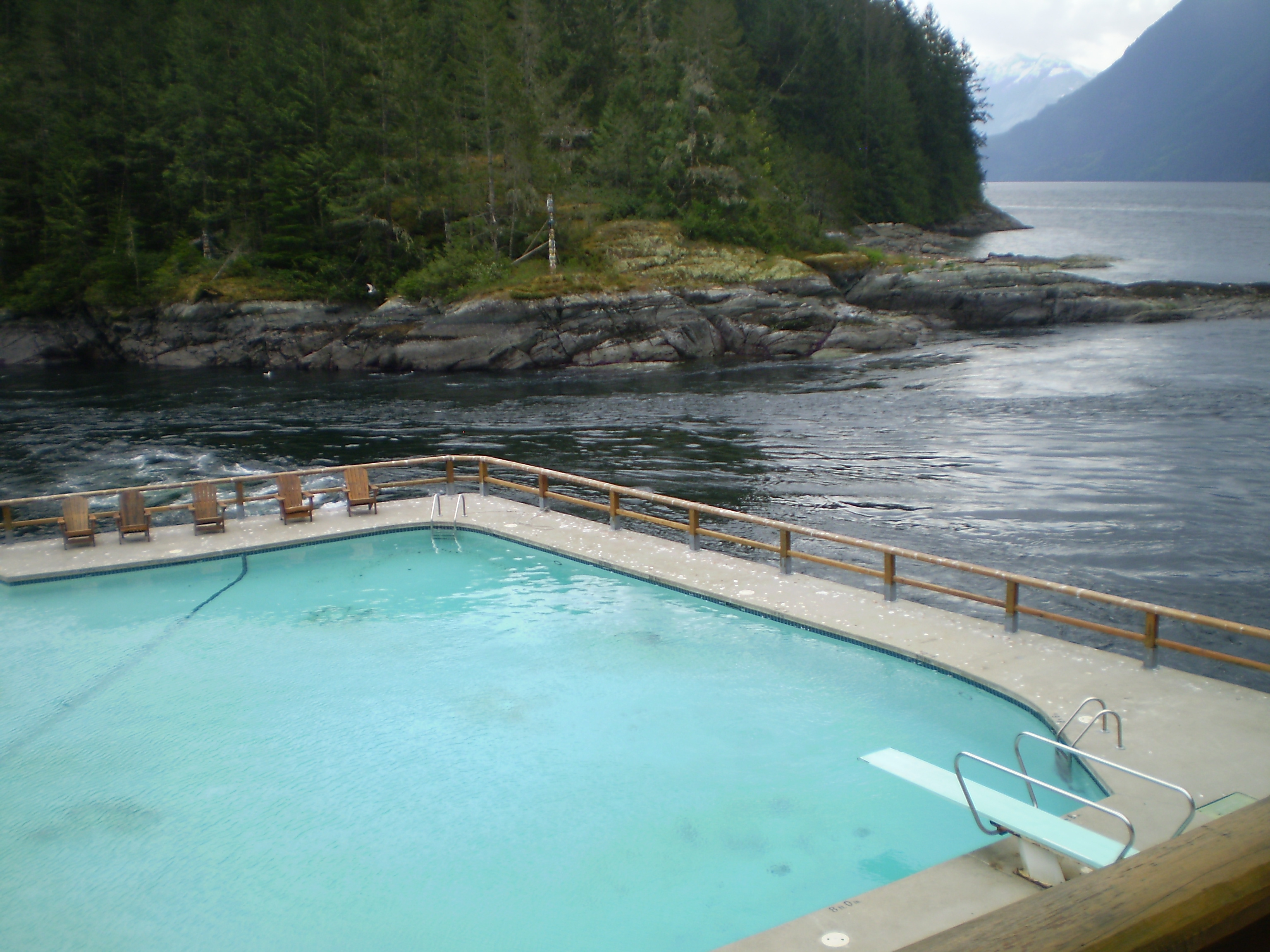
Malibu Rapids
Twice a day, the Pacific Ocean tries to squeeze itself through a gap barely wide enough for a fishing boat. Malibu Rapids sits at the entrance to Princess Louisa Inlet, connecting it to the vast reach of Jervis Inlet, and during peak tidal flow the water moves at approximately 9 knots -- fast enough to overpower most recreational vessels and strong enough to create standing waves, whirlpools, and boils that have tested mariners for as long as boats have plied these waters. Then, for a brief window at slack tide, the rapids go flat. The water stills. And boats that have been circling nervously in Jervis Inlet thread the needle into one of the most beautiful fjords on Earth.
The Narrow Gate
The geography of Malibu Rapids is simple and unforgiving. Malibu Isle sits on the Jervis Inlet side of the passage, and the mainland shore of the Malibu Club compound defines the Princess Louisa Inlet side. Between them runs a shallow, narrow channel through which the entire tidal volume of Princess Louisa Inlet must pass twice daily. When the tide rises, water floods through the gap toward the inlet's head at Chatterbox Falls. When it falls, the flow reverses toward Jervis Inlet. A System B lateral navigation beacon marks the Jervis Inlet approach, but the real navigation aid is patience: knowing the tide tables, watching the current, and waiting for the window.
Reading the Water
Determining the state of the rapids requires nothing more than observation. If the current flows toward Jervis Inlet, the tide is ebbing and the water level in Princess Louisa Inlet is dropping. If it flows toward the inlet, the tide is flooding and the water is rising. The dangerous moments are mid-cycle, when the tidal exchange reaches maximum velocity and the narrow passage churns with turbulence. At spring tides, the current peaks near 9 knots, creating conditions that rival the Skookumchuck Narrows near the entrance to Sechelt Inlet further south on the Sunshine Coast. Small boats have been spun, swamped, and pinned against rocks here. Experienced skippers plan their transits around published slack times and add a safety margin.
Slack Water, Open Door
The transformation at slack tide is dramatic. The roaring channel goes quiet. The standing waves flatten. The surface becomes glassy, reflecting the forested slopes on either side. For perhaps twenty to thirty minutes, the passage is virtually flat calm, and boats motor through at idle speed, their wakes the only disturbance. It is a moment of stillness framed by violence -- the rapids were raging minutes ago and will be raging again shortly. Boaters entering Princess Louisa Inlet for the first time often describe the passage through slack-water Malibu Rapids as a kind of threshold experience, a transition from the open scale of Jervis Inlet to the intimate, cathedral-like enclosure of Princess Louisa.
Gateway and Guardian
Malibu Rapids serves a purpose beyond hydrology. By limiting access to Princess Louisa Inlet, the rapids function as a natural gatekeeper, filtering out casual traffic and ensuring that only those willing to learn the tides and plan their approach can enter. This has preserved the inlet's character in ways that no regulation could. Princess Louisa remains uncrowded even in peak summer because the rapids impose a schedule that cannot be ignored. George Vancouver himself encountered the rapids in 1792 during his survey of Jervis Inlet. He found the entrance to Princess Louisa but did not enter, as the tide was ebbing through the gap at the time. Even in the age of sail and naval authority, Malibu Rapids demanded deference.
From the Air
Located at 50.16°N, 123.85°W at the narrow entrance connecting Jervis Inlet to Princess Louisa Inlet. From the air, look for the constriction between Malibu Isle (small, forested) and the mainland shore where the Malibu Club buildings sit. The rapids are most visible during peak tidal flow, when turbulent white water marks the gap. Best viewed at 2,000-4,000 ft. Nearest airport is Sechelt-Gibsons (CAP3), approximately 40 nm south. The channel is oriented roughly north-south, with Jervis Inlet opening to the southwest and Princess Louisa Inlet extending northeast.