Manyikeni
Three kilometers down a dirt track off a rural road west of Vilanculos, in southeastern Mozambique, a circle of stacked limestone rises barely half a meter from the ground. It does not look like much. But Manyikeni is one of the only stone enclosures in the Great Zimbabwe architectural tradition built this close to the Indian Ocean coast — 350 kilometers from Great Zimbabwe itself — and its position tells a story of trade, power, and cultural reach that spanned five centuries and connected the African interior to the commerce of the wider world.
Limestone Instead of Granite
Great Zimbabwe's monumental walls were built from granite — a rock that splits cleanly and stacks into tall, imposing enclosures. Manyikeni's builders had no granite. What they had was limestone, a material far more difficult to shape into uniform blocks. The result is a stone enclosure measuring 20 meters in diameter, modest compared to the capital's soaring walls but unmistakably built in the same mortarless tradition. The choice of local stone over imported granite follows a pattern seen at other outlying sites of the Great Zimbabwe tradition: builders adapted to what the landscape provided. The smaller scale was not a failure of ambition but a consequence of material. Limestone fractures unpredictably, and the effort required to produce each building block limited how high and how far the walls could rise.
Beads, Shells, and Beef
Excavations in 1975 and 1976 — conducted shortly after Mozambican independence by the Eduardo Mondlane University Centre for African Studies and the British Institute in Eastern Africa — revealed what the enclosure contained: glass beads, seashells, cattle bones, and a Zimbabwe-style iron gong. The beads and shells point to extensive trade with Chibuene, a coastal settlement about 50 kilometers to the east that was a node in the Indian Ocean trade network from the late first millennium through the 1700s. The cattle bones tell a different story. They were found almost exclusively in the central part of the site, near the stone enclosure, suggesting that only the ruling elite consumed beef. People living at the settlement's periphery ate sheep and goat. Power at Manyikeni, as at Great Zimbabwe, was expressed partly through control of prestige foods.
Five Centuries of Occupation
Archaeologists divide Manyikeni's history into three phases. Around 1200 AD, the stone enclosure was under construction — the founding act that marked the site as a place of authority within the Kingdom of Mutapa. From roughly 1200 to 1450, the settlement reached its peak, functioning as a trade outpost that channeled goods between the interior and the coast. After 1450, occupation declined, though the site was not fully abandoned until around 1700. The grass that now blankets the ruins — Cenchrus ciliaris, common in Zimbabwe but rarely recorded in Mozambique — may itself be an artifact of the settlement's history. One hypothesis suggests the grass was introduced alongside cattle brought from the Zimbabwean plateau, a living trace of the centuries when herds and trade goods moved along routes connecting Manyikeni to the empire's heartland.
Ruins at the Edge of Memory
Reaching Manyikeni today requires commitment. From Vilanculos, you drive south on the EN1 for 30 kilometers to the small town of Mapinhane, then turn west and continue for another 29 kilometers on unpaved road. A small sign marks the entrance to a track that winds three kilometers through the bush to the site. There is no visitor center, no ticket booth, no interpretive display. The stone enclosure sits in the open, partially obscured by vegetation, quietly insisting on its own significance. In 1997, Manyikeni was placed on UNESCO's World Heritage Tentative List in the cultural category — recognition that this modest ring of limestone represents something larger: evidence that the Great Zimbabwe tradition was not confined to a single site or a single stone, but spread across southeastern Africa, adapting its architecture to whatever the land offered.
From the Air
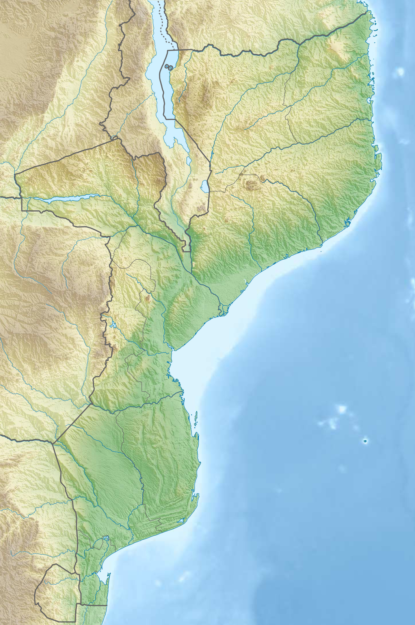
Manyikeni is located at approximately 22.19°S, 34.84°E on the eastern coastal plains of Mozambique, roughly 52 km west of Vilanculos. The nearest airport is Vilanculos Airport (FQVL), which serves domestic flights and some international charters. From 3,000–5,000 feet AGL, the flat coastal plains stretch inland from the Indian Ocean, with scattered bush vegetation. The archaeological site itself is not visible from altitude but lies along a dirt track west of Mapinhane off the EN1 highway. The terrain is low-lying, approximately 200–400 feet AMSL. Expect warm to hot conditions year-round with a wet season from November to March.