The Butterfly Town at Yosemite's Door
In 1806, a Spanish priest traveling with the explorer Gabriel Moraga came upon a creek shimmering with thousands of yellow butterflies. He named the place Las Mariposas -- the butterflies -- and moved on. Four decades later, John C. Fremont bought a 70-square-mile ranch here for $3,000, a price that seemed reasonable until he discovered a five-mile vein of gold-bearing quartz running beneath his land. Within months, what had been a quiet stretch of Sierra Nevada foothills erupted into one of the most contested pieces of real estate in California. Mariposa today is a community of roughly 1,500 people perched at 2,015 feet in the western Sierra foothills, the county seat of a county that once sprawled from the Nevada border to Los Angeles. It is the last supply stop before Yosemite National Park, a place where Gold Rush history is not a theme park but the actual fabric of the town.
Fremont's Gamble
When Fremont purchased Rancho Las Mariposas from former California Governor Juan Bautista Alvarado in 1847, the transaction seemed unremarkable -- 70 square miles of rolling foothill country at a time when California land was cheap and remote. But the grant was a peculiar legal instrument known as a "floating grant," meaning its exact boundaries had never been surveyed. When gold turned up in the quartz veins beneath the property, Fremont repositioned his claim to cover the richest deposits, infuriating squatters and mining companies who had already staked the ground. The legal battle dragged on for nearly a decade before the U.S. Supreme Court ruled in Fremont's favor in 1856. By then, the Mariposa Estate covered 44,000 acres in the heart of the Mother Lode, producing gold that would eventually total more than $12 million. The town that grew around it was forced to higher ground by floods and fires during the winter of 1849-1850, settling near Mariposa Creek and becoming the county seat by 1851.
Where Mining Law Was Made
The Mariposa County Courthouse, completed in 1854 at a cost of $9,200, is the oldest courthouse still in continuous use in California. Built by Fox and Shriver from local timber and whitewashed lumber, it is a modest two-story frame building that belies the magnitude of the cases heard within its walls. This was where the legal framework for American mining took shape. When thousands of prospectors flooded into the Sierra foothills, there was no established body of law governing who owned what underground. The disputes that landed in this courthouse -- over mineral rights, claim boundaries, and the volatile question of who could dig where -- produced legal precedents that shaped federal mining law for generations. A clock tower and cupola were added in 1866, giving the building its current silhouette, and a quartz monument on the grounds commemorates the county's pioneers. The courthouse was listed as a California Historical Landmark in 1977, though it needed no plaque to prove its significance to the people who still file cases there.
The Miwok and the Mariposa War
Long before the butterflies earned their Spanish name, the Southern Sierra Miwok lived in these foothills, their lives shaped by the seasonal rhythms of acorn harvests and the Merced River. The Gold Rush shattered that existence. Miners overran Miwok lands, and the trading posts operated by men like James Savage along the river and creek became flashpoints of conflict. By late 1850, tensions had escalated into the Mariposa War, a series of skirmishes that prompted the California governor to raise the Mariposa Battalion under Savage's command. The battalion burned Ahwahnechee villages, destroyed food stores, and forcibly removed the Miwok and their neighbors from ancestral lands. It was during this campaign that non-indigenous people first entered Yosemite Valley -- a discovery born not of exploration but of military pursuit. Chief Tenaya and his people were marched to a reservation on the Fresno River. The valley that would become America's most celebrated landscape was opened to the world through an act of dispossession.
Sixty-Three Buildings and a Fairground
Walk the blocks of Mariposa today and you are walking through the 1850s. The Mariposa Town Historic District, listed on the National Register of Historic Places in 1991, contains sixty-three historic buildings, many among the oldest surviving structures in California. St. Joseph's Catholic Church, completed in 1863 in Carpenter Gothic style, anchors one end of the district. Down the road, the Mariposa County Fairgrounds have hosted rodeos and demolition derbies since 1939, and the California State Mining and Mineral Museum -- a state park that owns no land -- displays over 13,000 specimens including the Fricot Nugget, the largest crystalline gold piece recovered during the Gold Rush. The Mariposa Museum and History Center, founded in 1957, holds photographs and county records that trace the town's arc from Miwok homeland to mining camp to tourist gateway. Frederick Law Olmsted, the landscape architect who designed Central Park, once called this place home, as did Paul Vasquez, whose "Double Rainbow" video became one of the internet's earliest viral sensations.
Gateway Country
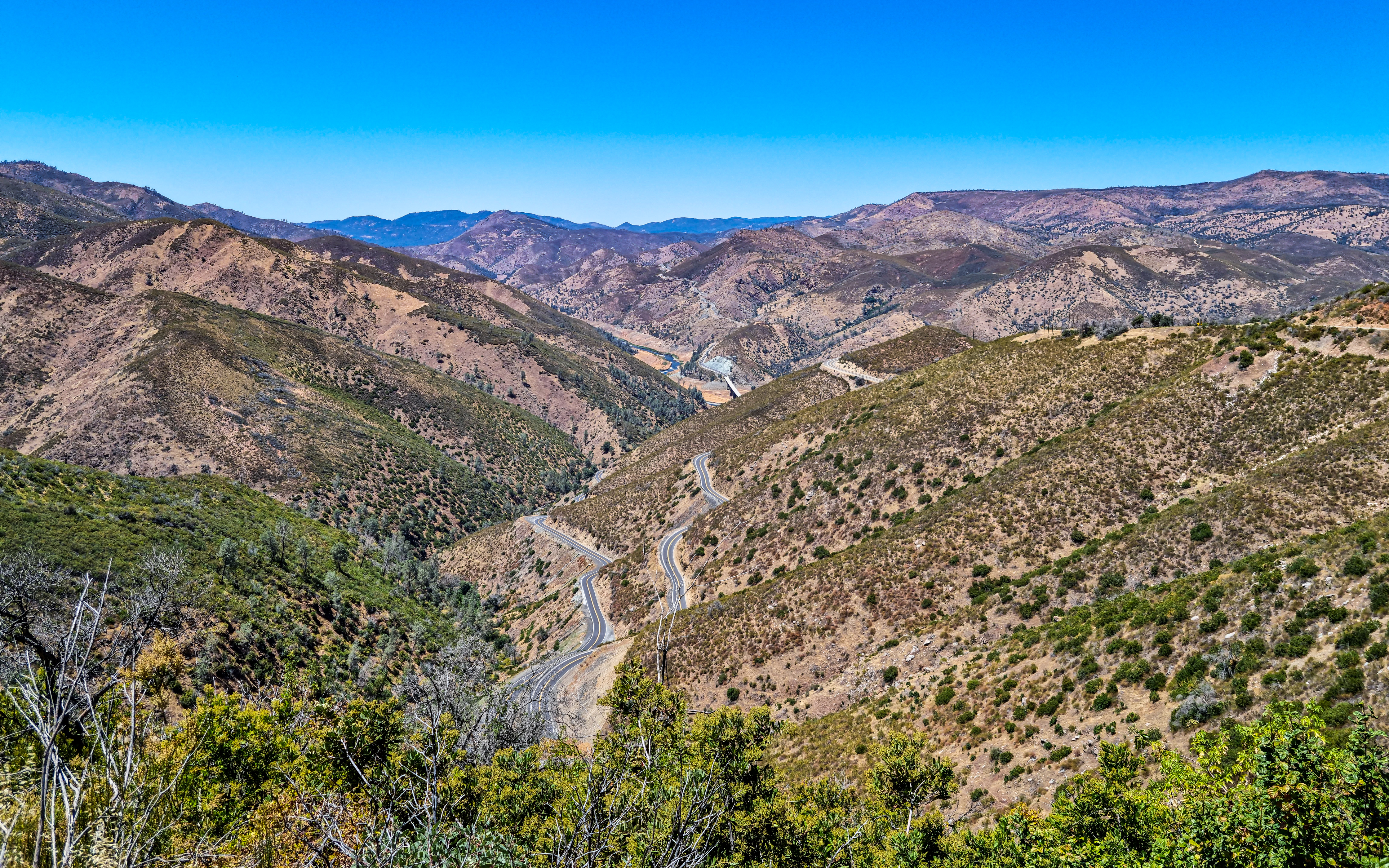
Mariposa's economy has always been shaped by what lies to the east. When the gold ran thin, Yosemite kept the town alive. Today, Highway 140 carries a steady stream of visitors through Mariposa on their way to the park's Arch Rock entrance, and the town serves as base camp for hikers, climbers, and day-trippers who fill its motels and restaurants. During World War II, the U.S. Army built an auxiliary airfield here to train pilots; that site became the Mariposa-Yosemite Airport, a small strip that now serves general aviation. The town has weathered fire as well -- in July 2017, the Detwiler Fire forced a full evacuation, burning through the surrounding foothills and threatening structures throughout the community. Mariposa survived, as it has survived floods, fires, legal battles, and the collapse of mining. It remains what it has been for 170 years: a small town doing serious work at the edge of something extraordinary.
From the Air
Mariposa sits at 37.487N, 119.968W at approximately 2,015 feet elevation in the western Sierra Nevada foothills. From the air, look for the small grid of the town along State Route 140 and State Route 49, with Mariposa Creek winding through the valley. Mariposa-Yosemite Airport (MPI) is located about 3 nm north of town. The terrain is classic Gold Country: rolling oak-studded hills with mixed conifer forest at higher elevations to the east. Yosemite Valley lies approximately 30 nm to the east via Highway 140. Merced Regional Airport (MCE) is roughly 35 nm to the west in the San Joaquin Valley.