The War That Opened Yosemite
The first non-indigenous people to set eyes on Yosemite Valley were not explorers. They were soldiers, marching under orders to remove the people who lived there. In the winter of 1850-1851, the Mariposa Battalion -- a volunteer militia raised by the state of California -- pursued the Ahwahnechee and their neighbors into the Sierra Nevada mountains, burning villages, destroying food stores, and driving families from land they had occupied for generations. Along the way, the battalion stumbled into a granite-walled valley of such staggering beauty that one of its members, a doctor named Lafayette Bunnell, would spend years trying to convince the world of what he had seen. The Mariposa War lasted barely six months. Its consequences -- for the indigenous people who lost their homeland and for the nation that would eventually make that homeland a national park -- have lasted far longer.
Gold and Collision
The Ahwahnechee, a band of the Southern Sierra Miwok, had lived in the Sierra Nevada foothills for centuries, their rhythms shaped by acorn harvests, seasonal migrations, and the cold clear waters of the Merced River. The California Gold Rush ended that isolation almost overnight. By 1850, miners had pushed deep into the foothills, staking claims on land the Miwok had never ceded. Trading posts sprang up along Mariposa Creek and the Merced River, run by men like James Savage, a former miner who employed indigenous laborers and understood their languages but whose operations depended on their displacement. When the Ahwahnechee and neighboring Chowchilla bands began raiding trading posts and mining camps -- attacks driven by hunger and the loss of their resource base -- the miners demanded military action. Sheriff James Burney appealed to Governor John McDougall, who authorized the formation of the Mariposa Battalion to subdue what settlers called the "Indian Problem."
Three Campaigns into the Mountains
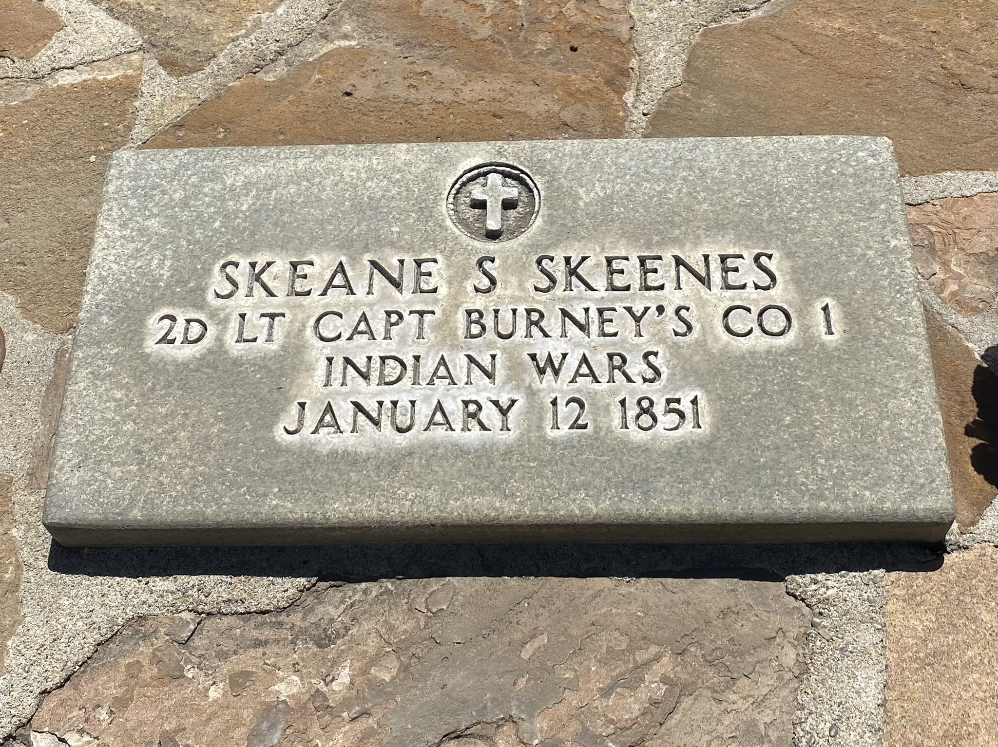
The battalion mustered nearly 200 men in three companies under the command of James D. Savage, a man who held the title of Major despite no formal military commission. At least one-fifth of the volunteers were Texans who had served under Colonel Jack Hays during the Mexican-American War, and they brought that conflict's brutality with them. On March 19, 1851, federal Indian commissioners signed a treaty at Camp Fremont beside Mariposa Creek with six tribes, but the Ahwahnechee and Chowchilla were absent from the negotiations. A military campaign launched the same day. Company A rode south to the Kings River, where they charged a Chowchilla village, killing an unknown number of people and taking prisoners. Companies B and C pushed into the mountains through rain, sleet, and deep snow. On March 27, they entered a valley of towering granite walls and waterfalls -- Yosemite -- but found few of the people they sought. The Ahwahnechee had fled deeper into the high country, choosing the mountains' hardship over surrender.
Tenaya's Last Stand
Chief Tenaya had led his people away from the advancing militia, retreating to the high lakes above the valley that bore his name. He refused to negotiate at Camp Barbour, the military post on the Fresno River, and his defiance prompted a third campaign. On May 22, 1851, the Mariposa Battalion encircled the Ahwahnechee at Lake Tenaya, a glacial lake at nearly 8,000 feet in the Sierra. Outnumbered and with their food supplies destroyed in earlier raids, the Ahwahnechee had little prospect of resistance. Tenaya surrendered, and the battalion marched his people down from the mountains to the Fresno River Farm Reservation. The Chowchilla, whose chief had been killed during the second campaign, had already been transported to reservations along the San Joaquin River. By July 1, 1852, the Mariposa Battalion was mustered out. The war was over. The Ahwahnechee's connection to the valley where they had lived, hunted, and managed the landscape through controlled burns was severed -- officially, permanently, though never in memory.
Discovery Through Dispossession
Lafayette Houghton Bunnell, the battalion's surgeon, understood that what the soldiers had stumbled into was extraordinary. He is credited with proposing the name "Yosemite" for the valley, adapting it from the Miwok word for the people who lived there -- though the Ahwahnechee themselves called the valley Ahwahnee, meaning "place of the gaping mouth." Bunnell's accounts, published years later, would help ignite public fascination with Yosemite and contribute to its eventual protection, first as a state grant in 1864 and then as a national park in 1890. The irony is inescapable. America's most celebrated landscape became known to the wider world through a military campaign whose purpose was to remove the people who had shaped that landscape for centuries. The Miwok had used fire to manage the valley's meadows, encouraging the open vistas and oak groves that awed the soldiers. What Bunnell and his companions saw as pristine wilderness was, in part, a garden tended by the very people they had come to expel.
What the War Left Behind
The Mariposa War was part of a broader pattern of violence against California's indigenous peoples that historians now recognize as genocide. Across the state, militias funded by California and supported by federal policy killed thousands of Native Americans and forced tens of thousands more onto reservations where disease and starvation took further tolls. The Ahwahnechee were one group among many, their story distinguished mainly by the grandeur of the place they were forced to leave. Today, the Southern Sierra Miwok maintain cultural connections to the Yosemite region. The National Park Service acknowledges the indigenous history of the valley, and interpretive programs address the displacement that preceded the park's creation. But the Mariposa War itself remains little known outside specialist histories -- a six-month conflict that most visitors to Yosemite have never heard of, fought across the same meadows and granite ledges they photograph from Tunnel View. The beauty that draws four million visitors a year was first reported by men who came not to admire it but to clear it of its original inhabitants.
From the Air
The Mariposa War ranged across the Sierra Nevada foothills centered near 37.58N, 119.91W, from the Mariposa Creek area in the west to Yosemite Valley in the east. From the air, the terrain transitions from rolling oak-studded foothills around Mariposa (elevation 2,000 feet) to dramatic granite formations in Yosemite Valley (elevation 4,000 feet). Key landmarks include Mariposa Creek, the Merced River canyon along Highway 140, and Yosemite Valley itself. Lake Tenaya, where the final encirclement occurred, lies at approximately 8,150 feet along the Tioga Road. Mariposa-Yosemite Airport (MPI) is the nearest general aviation field. Merced Regional Airport (MCE) lies approximately 35 nm to the west.