Martha's Vineyard: The Island Where Presidents Vacation
Martha's Vineyard is seven miles off the Massachusetts coast and a universe away from mainland America. The island has hosted summer visitors since the 19th century - first Methodist camp meeting revivalists, later wealthy industrialists, eventually Kennedys and Clintons and Obamas and the entire constellation of East Coast liberalism. The Vineyard became a symbol: coastal elite leisure, where progressive politics coexists with extraordinary wealth, where celebrities and academics and media figures gather to discuss income inequality from beautiful decks overlooking beautiful beaches. The symbolism is unfair to the year-round community of 17,000 who keep the island functioning between seasons. But it's not entirely wrong either. The Vineyard is exactly what it appears to be: an island for people who can afford islands.
The Settlement
The Wampanoag named the island Noepe; Europeans renamed it for an explorer's daughter who may never have visited. English settlement began in 1642. Whaling built wealth through the 18th century; when whaling collapsed, the island's economy struggled until tourism discovered it. The Methodist Camp Meeting Association established Oak Bluffs in the 1830s as a religious retreat; the Victorian cottages they built - ornate, candy-colored, clustered around the Tabernacle - now constitute a National Historic Landmark district. By the 20th century, the Vineyard had become what it remains: a summer destination for people of means.
The Communities
The island comprises six towns, each with distinct character. Edgartown: old whaling captain houses, upscale shopping. Oak Bluffs: Camp Meeting cottages, the Flying Horses carousel (allegedly the oldest operating carousel in America), and the historically significant African American beach community. Vineyard Haven: the ferry town, year-round commercial center. West Tisbury: rural, agricultural, farmers' market. Chilmark: quiet, expensive, celebrity hideaways. Aquinnah (formerly Gay Head): Wampanoag tribal land, the iconic clay cliffs. The island's diversity is real, if bounded - different experiences of affluence rather than different economic classes.
The Visitors
The Kennedy family established the Vineyard's political cachet - their compound was nearby on the Cape, but the island became associated with the family and their orbit. Bill Clinton vacationed here throughout his presidency. Barack Obama has returned annually since leaving office. The list of celebrity residents and visitors is endless: journalists, entertainers, writers, the entire infrastructure of liberal America. The Vineyard became a place where this class gathers, networking at beaches and dinner parties, making it simultaneously a retreat from and intensification of professional life.
The Reality
The Vineyard's symbolism obscures its actual complexity. The year-round population struggles with housing costs that summer wealth has pushed beyond reach. Service workers increasingly live on the mainland, commuting by ferry. The wealth visible in summer contrasts with the economics of island life the other nine months. The Wampanoag community maintains presence and political power in Aquinnah. The African American community that made Oak Bluffs a historically significant destination faces pressure from gentrification. The island is more than its caricature - but the caricature exists because much of it is true.
Visiting Martha's Vineyard
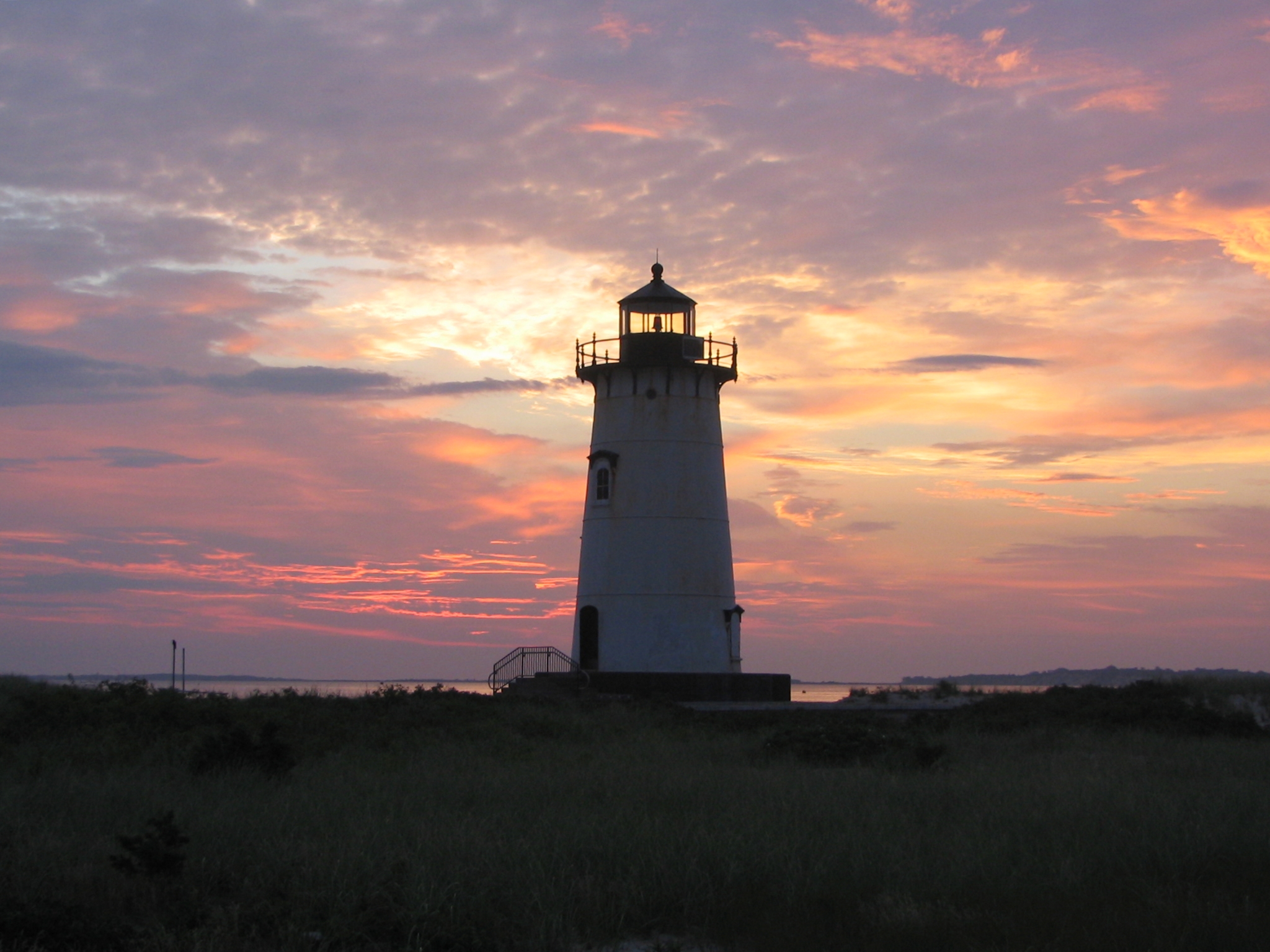
Martha's Vineyard is accessible by ferry from Woods Hole, Falmouth, Hyannis, and seasonally from other ports. The Steamship Authority operates year-round service to Vineyard Haven and Oak Bluffs; reservations are essential for vehicles during summer. The island is 100 square miles; visitors can drive, bike, or use the bus system. Hotels, inns, and rental houses are expensive and book early for peak season (July-August). Beaches are stunning - South Beach (Katama), Menemsha, and others offer different experiences. The Black Dog Tavern is a clichéd but enjoyable landmark. Visit shoulder season (May-June, September-October) for lower prices and fewer crowds. Bring more money than you expect to need.
From the Air
Located at 41.38°N, 70.64°W off the Massachusetts coast. From altitude, Martha's Vineyard appears as a substantial island - roughly 100 square miles of beaches, forests, ponds, and the distinctive clay cliffs of Aquinnah at the western end. The six towns are visible as developed areas around the coastline. The ferry routes from Cape Cod are visible on clear days. Nantucket lies to the east; Cape Cod curves to the north. The island's beaches are clearly visible - white sand against blue water. The appearance from altitude is classic New England coastal: prosperous, well-maintained, pretty in ways that reflect accumulated wealth. The symbolism is visible; the complexity is not.