Matobo National Park
King Mzilikazi Khumalo looked at the smooth granite domes rising from the bush and renamed them on the spot. The locals called them madombo, but Mzilikazi, perhaps half in jest, declared them matobo -- an Isindebele play on 'bald heads.' The joke stuck. Two billion years after molten granite was forced to the earth's surface and began its slow erosion into whaleback dwalas, balancing boulders, and fractured kopjes, the Matobo Hills still invite irreverence alongside awe. This is Zimbabwe's oldest national park, established in 1926, and a UNESCO World Heritage Site since 2003. It is also a landscape so layered with human and natural history that each valley, cave, and summit tells a different story.
Stone Canvas, Deep Time
The rock art here spans millennia. At Bambata Cave, in the park's western reaches, painted friezes depict elephants, giraffes, warthogs, and mongoose in pigments that have outlasted empires. Inanke Cave, accessible only by a three-hour hike from Toghwana Dam, holds the most extensive paintings of all -- and the archaeological record beneath them is staggering. Excavations have revealed 39,032 stone tools, hearths where fire-makers worked at the center of the cave floor, and bone fragments showing that hyrax, tortoise, and baboon formed the core diet of the cave's earliest human inhabitants. An Iron Age furnace sits along the trail. The oldest material at the site may predate the Middle Stone Age entirely. Walking to Inanke is not just a hike; it is a passage through tens of thousands of years of continuous human presence.
Leopards, Eagles, and Rhinos
Matobo holds the world's densest population of leopards. The secret is hyrax -- small, rock-dwelling mammals that thrive among the granite boulders and make up half of the local leopard diet. Visitors rarely see the cats themselves, but baboons screaming in the late afternoon are a reliable sign that one is nearby. The park also hosts the highest concentration of black eagles and breeding pairs of these birds anywhere on earth. In the 105-square-kilometer game park to the west, white and black rhinos roam alongside sable antelope, giraffe, zebra, and wildebeest. The white rhinos were translocated from KwaZulu-Natal in the 1960s; the black rhinos came from the Zambezi Valley in the 1990s. Both species now live within an Intensive Protection Zone. Across the broader park, 175 bird species, 88 mammal species, 39 kinds of snake, and 16 fish species have been recorded.
Contested Ground
The Matobo Hills are not merely scenic -- they are politically and spiritually charged. On the summit of Malindidzimu, the 'hill of the spirits,' Cecil Rhodes chose to be buried alongside Leander Starr Jameson and members of the Shangani Patrol killed in the First Matabele War. It is a choice that remains deeply controversial in modern Zimbabwe: nationalists and indigenous groups consider this a sacred site, and the presence of colonial graves on it a lingering provocation. Mzilikazi, the Ndebele king who gave the hills their name, is also buried at Matopos. During the 1896 Ndebele rebellion, these hills became a stronghold. Rhodes walked alone and unarmed into the Ndebele position to negotiate peace -- an act of boldness or hubris, depending on whose history you read. Robert Baden-Powell, the founder of Scouting, learned woodcraft in these same hills from the American scout Frederick Russell Burnham. Bronze plaques scattered across the landscape mark the sites of armed forts and skirmishes from that era.
Granite and Water
The geology shapes everything. The Matopos Batholith weathers into formations that seem designed to defy gravity: the balancing rocks of Mother and Child Kopje are perhaps the most photographed, but the entire landscape is a gallery of improbable stone. Between the granite mountains, narrow swampy valleys called dambos or vleis form from runoff cascading off the whaleback surfaces. The park covers 424 square kilometers of a broader hill system spanning 3,100 square kilometers, and extends along four river valleys -- the Thuli, Mtshelele, Maleme, and Mpopoma. Over 200 tree species grow here, including mountain acacia, wild pear, and paperbark acacia. At Maleme Dam, a limnological research center has operated since 1950, studying species like the yellowfish Barbus mattozi. The highest point in the hills, the promontory of Gulati at 1,549 meters, sits just outside the park's northeastern corner.
Walking the Hills
Matobo rewards those who walk. Short trails lead from Maleme Camp to Pomongwe Cave and its rock paintings, or along the lakeshore from Fish Eagle Lodge. Longer routes climb Mount Shumbashawa and Nyahwe Mountain, offering views across a landscape where granite, bush, and sky compete for dominance. The climate cooperates: subtropical despite the tropical latitude, cooled by elevation and a prevailing southeasterly airflow. The park's name has twice made it to the screen -- Stephanie Machuret's 2007 film Matopos drew on its landscape for a story about a traditional healer, and the fictional Republic of Matobo in The Interpreter borrowed its name. But no film captures what the hills deliver in person: the silence between the boulders, the watchfulness of a black eagle circling overhead, and the uncanny sense that this granite has been shaping human stories for longer than memory can reach.
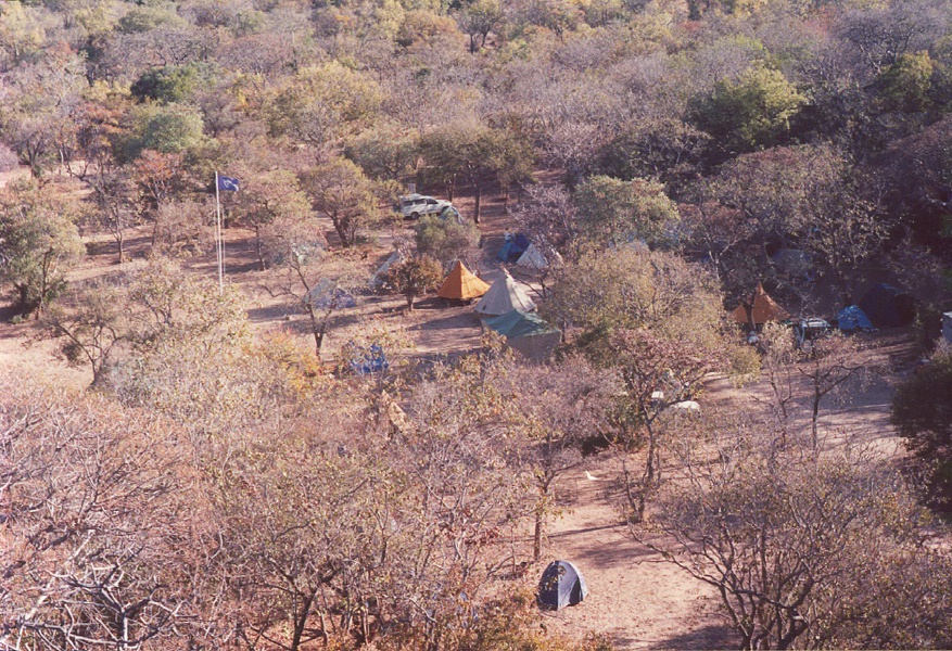
From the Air
Located at 20.55S, 28.508E, approximately 35 km south of Bulawayo. The granite kopjes and whaleback dwalas are visible from altitude as distinctive pale formations amid darker bushveld. Nearest major airport is Joshua Mqabuko Nkomo International Airport (FVBU) at Bulawayo. Best viewed at 3,000-5,000 ft AGL for the rock formations. The park's highest point, Gulati, reaches 1,549 m (5,082 ft) ASL.