Maun, Botswana
Donkeys own the streets of Maun. They stand in traffic circles, block shop entrances, and doze in the shade of safari outfitters advertising helicopter flights over the Okavango Delta. This is Botswana's self-proclaimed "tourism capital" -- a settlement of 85,293 people that officially remains classified as a village, no matter how many international flights land at its airport or how many Land Cruisers roll through on their way to the wild. The contradiction is the whole point. Maun exists at the seam between modern Africa and something far older, and it has never been particularly interested in choosing one over the other.
Batawana Origins
The Batawana people founded Maun in 1915 as their tribal capital, choosing a site along the Thamalakane River where water and grazing land converged. The settlement quickly developed a reputation as a hard-living frontier town -- a place of cattle ranchers, hunters, and traders who operated at the edge of the Kalahari with the rough-and-ready manners to match. For decades, Maun was the kind of town where business was conducted in dust and handshakes, and the nearest paved road ended somewhere far to the east. That changed in the early 1990s when the tar road from Nata finally reached town. Almost overnight, the journey that had been an expedition became merely a drive, and Maun's transformation from remote outpost to safari hub began in earnest.
Where the Wild Things Graze
Walk along the wide banks of the Thamalakane and you will see something that captures Maun's identity better than any brochure. Red lechwe -- handsome chestnut-colored antelopes with lyre-shaped horns -- graze in the reeds alongside local donkeys, goats, and cattle. The animals coexist without apparent concern, wildlife and livestock sharing the same floodplain as if the distinction between wild and domestic were a human invention that the Thamalakane never recognized. Tribesmen still bring cattle to Maun to sell, arriving in taxis and conducting their trade on the curbside. Traditional circular rondavels have largely given way to square cinderblock homes roofed in tin, but the rhythm of rural life persists beneath the modern surface. Mobile phone towers rise above the thorn trees, and welding entrepreneurs operate businesses from the backs of carts.
Gateway to the Delta
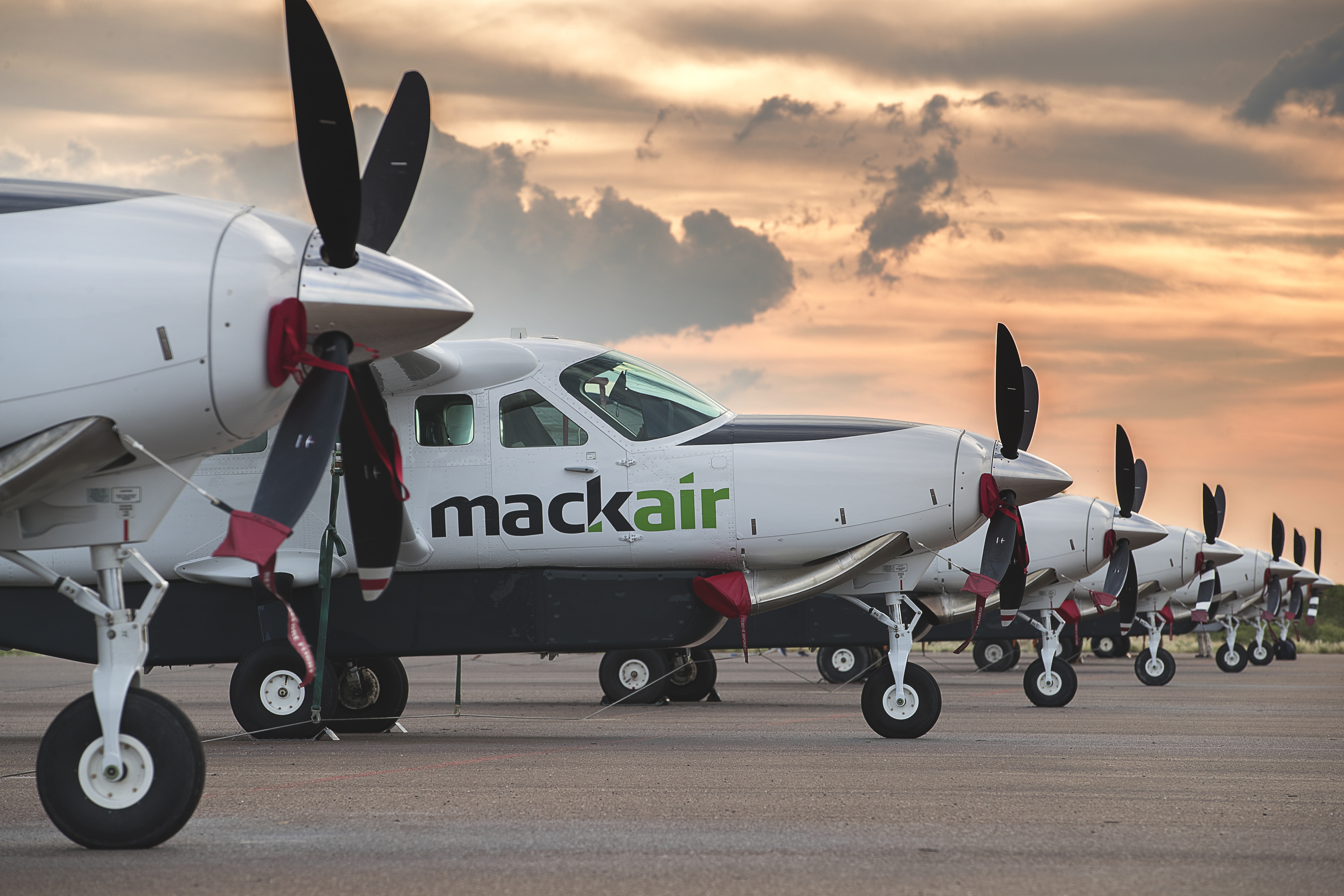
Maun International Airport is the funnel through which most of Botswana's safari tourism flows. Charter planes buzz in and out constantly, ferrying visitors to luxury camps scattered across the Okavango Delta and the Makgadikgadi Pans. For those traveling overland, Maun is where you rent the fully equipped four-by-four that will carry you into the parks -- rooftop tent, spare tires, jerry cans, and all. The town has become a logistics hub as well, servicing not just safari operators but the mineral exploration camps that have proliferated across northwestern Botswana. In 1993, Conservation International established an office here as part of its Okavango programme, recognizing Maun as the practical center of gravity for conservation work in the region. The organization's presence helped anchor a growing ecosystem of research, conservation, and ecotourism that now defines the town's economy.
Heat, Dust, and Reinvention
Maun's climate does not deal in half measures. On January 7, 2016, the temperature reached 44.0 degrees Celsius -- the highest ever recorded anywhere in Botswana. The hot semi-arid climate means scorching summers, mild winters, and a rhythm of life dictated by the rains. When the wet season arrives, the Thamalakane can flood, the dust turns to mud, and the surrounding bush erupts in green. When the dry season settles in, the river shrinks and the landscape bakes under an enormous sky. Through it all, Maun continues its improbable balancing act: a village that functions as a city, a frontier town that hosts international tourists, a place where the twenty-first century arrived without quite displacing whatever was here before. The donkeys, at least, do not seem troubled by the contradictions.
From the Air
Maun is located at approximately 19.98°S, 23.42°E in northwestern Botswana. Maun International Airport (FBMN) is the primary access point and is visible as a substantial runway complex on the southern edge of town. The Thamalakane River traces a winding path through the settlement, visible as a green ribbon against the surrounding dry bush. From altitude, Maun appears as a sprawl of low buildings along the river, with the A3 highway extending northeast toward Nata. The Okavango Delta begins roughly 30 km to the northwest, visible as a dramatic transition from dry scrubland to green wetlands. Charter bush planes are frequent in the area; expect light aircraft traffic. Visibility is generally good except during dust events and the occasional wet-season thunderstorm.