Mauna Loa Observatory
Every few minutes, an instrument on the northern flank of Mauna Loa draws in a sample of air and measures how much carbon dioxide it contains. It has been doing this since March 1958, when a young chemist named Charles David Keeling first switched on an infrared analyzer at this remote Hawaiian outpost. The line on the graph has not stopped climbing since. That line, known as the Keeling Curve, became one of the most consequential scientific measurements of the twentieth century, and the small cluster of buildings where it originates still sits exactly where Keeling placed his instruments, 11,134 feet above the Pacific on the shoulder of an active volcano.
Why Here, of All Places
Mauna Loa Observatory exists because of what is absent. There are no cities upwind, no forests exhaling and absorbing carbon in seasonal rhythms, no factories or highways within hundreds of miles. The station sits above the marine inversion layer, where trade winds deliver clean, well-mixed air from the free troposphere, air that has circled the globe and represents a genuine planetary average rather than a local reading. Continental weather stations would be contaminated by nearby vegetation, industry, and shifting wind patterns. The founders of the observatory, working under the U.S. Weather Bureau, tried first to maintain a station at Mauna Loa's summit, at 13,453 feet, but the conditions between 1951 and 1954 proved too harsh. They settled on the northern flank at 11,134 feet, founding the observatory on June 28, 1956. The site has been part of NOAA's Global Monitoring Laboratory baseline network since 1972.
The Curve That Changed Everything
Charles David Keeling arrived from the Scripps Institution of Oceanography at UC San Diego with a meticulous reputation built on fieldwork at Big Sur, the Olympic Peninsula, and mountain forests in Arizona. His early measurements at Mauna Loa were supported by the International Geophysical Year, a burst of coordinated global science in 1957-1958 that funded projects ranging from Antarctic exploration to satellite launches. Keeling's 1960 paper in the journal Tellus reported the first monthly CO2 records from Mauna Loa and Antarctica, noting a "distinct seasonal cycle" and, more ominously, "possibly a worldwide rise from year to year." He was right. The concentration stood at 313 parts per million in March 1958. By May 2013, when the observatory recorded a daily reading above 400 ppm for the first time, it marked a stark milestone in the climate record. In 2015, Pope Francis cited the observatory's measurements in his apostolic exhortation on the climate crisis, Laudate Deum. In 2015, the Keeling Curve was designated a National Historic Chemical Landmark by the American Chemical Society.
Beyond Carbon Dioxide
The observatory's mission has always extended beyond a single molecule. Early research programs at the site measured cosmic radiation, the atmosphere of Mars as seen through Earth's atmosphere, atomic fallout from nuclear testing, snow crystal formation, the solar corona, meteors, cosmic rays, and radio wave propagation. Today the campus hosts projects from partner institutions around the world, including the Mauna Loa Solar Observatory, the National Science Foundation's Global Oscillations Network Group station, and a cosmic microwave background observatory called the Yuan-Tseh Lee Array. The facility is a community, not just a weather station, where atmospheric scientists, solar physicists, and cosmologists share a volcanic ridgeline and the clear, dry air above it.
When the Volcano Fought Back
In late November 2022, Mauna Loa erupted for the first time since 1984. Lava flows crossed the observatory's access road, severing the only vehicular route to the facility and damaging the utility lines that provided electrical power. The eruption did not destroy the observatory, but it effectively besieged it. Staff installed temporary solar panels that allowed operations at roughly 33 percent of full capacity, enough to keep critical instruments running but not enough to maintain the full suite of measurements. Renovations to install new power distribution infrastructure began afterward. The irony was impossible to miss: the observatory that tracks how human activity is altering the atmosphere was itself disrupted by the geological forces that built the mountain beneath it.
The Breath of the Planet
Look at the Keeling Curve long enough and you notice it breathes. Superimposed on the relentless upward trend is a seasonal oscillation of about six parts per million, a sawtooth pattern driven by the world's vegetation. In Northern Hemisphere spring and summer, plants draw CO2 out of the atmosphere through photosynthesis, and the curve dips. In fall and winter, as leaves decay and soil microbes exhale, CO2 rises again. The pattern is dominated by the Northern Hemisphere because that is where most of the planet's land and forests are concentrated. This seasonal cycle, visible in a graph plotted on an island in the middle of the Pacific, is the planet inhaling and exhaling, recorded by instruments on a volcano. Today, roughly 100 sites around the globe monitor atmospheric CO2, but none has as long or as continuous a record as Mauna Loa. Keeling supervised the measurements until his death in 2005. His son, Ralph Keeling, carries the work forward.
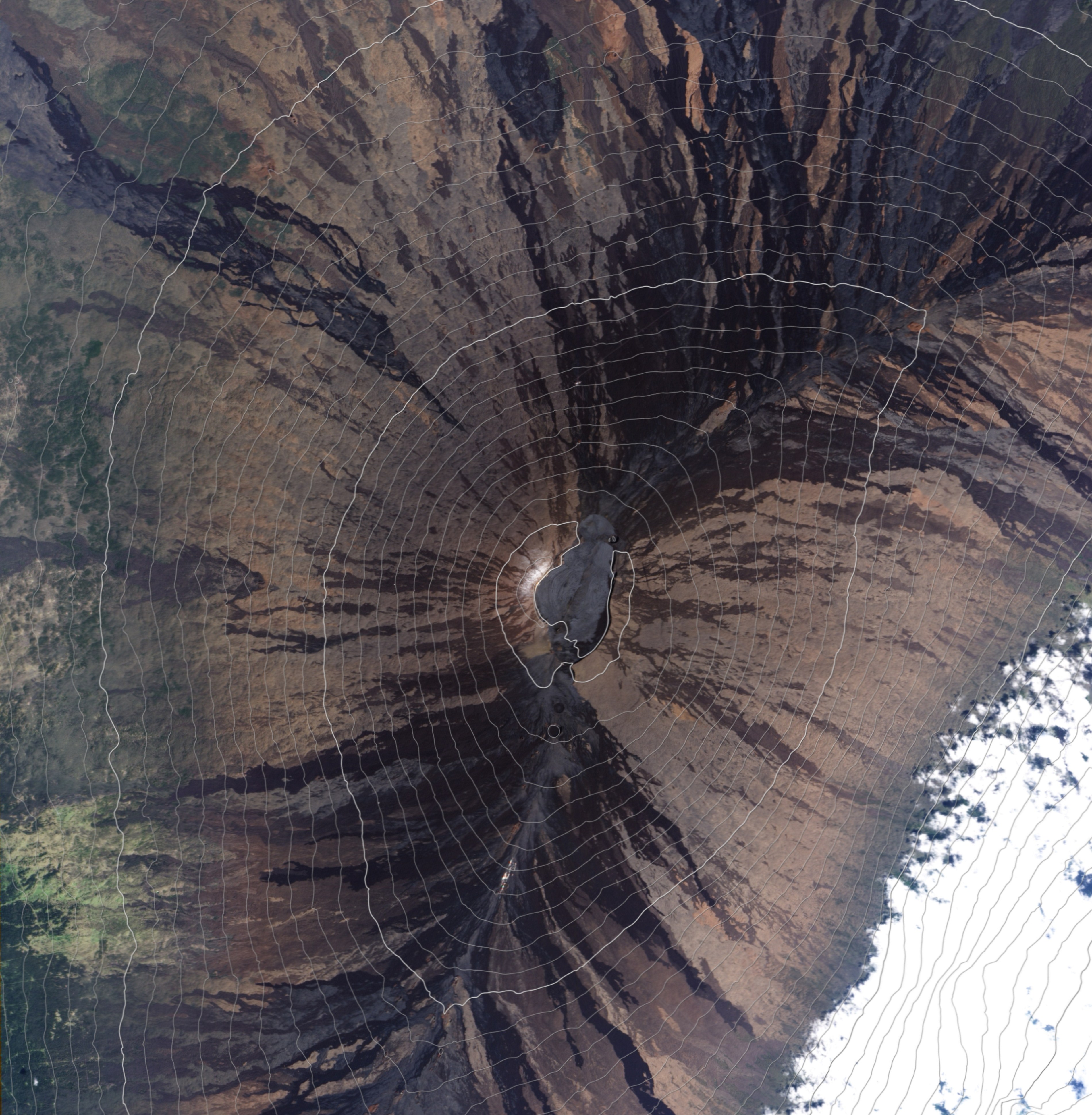
From the Air
Located at 19.54N, 155.58W on the northern flank of Mauna Loa at 11,134 feet elevation on the Big Island of Hawaii. The observatory buildings are visible as a small cluster of structures along the Mauna Loa access road. Nearest major airports are Hilo International Airport (PHTO) and Kona International Airport (PHKO). The 2022 lava flow that crossed the access road may be visible as a dark scar on the mountain's northern slope. Best viewed in morning hours before orographic clouds develop.