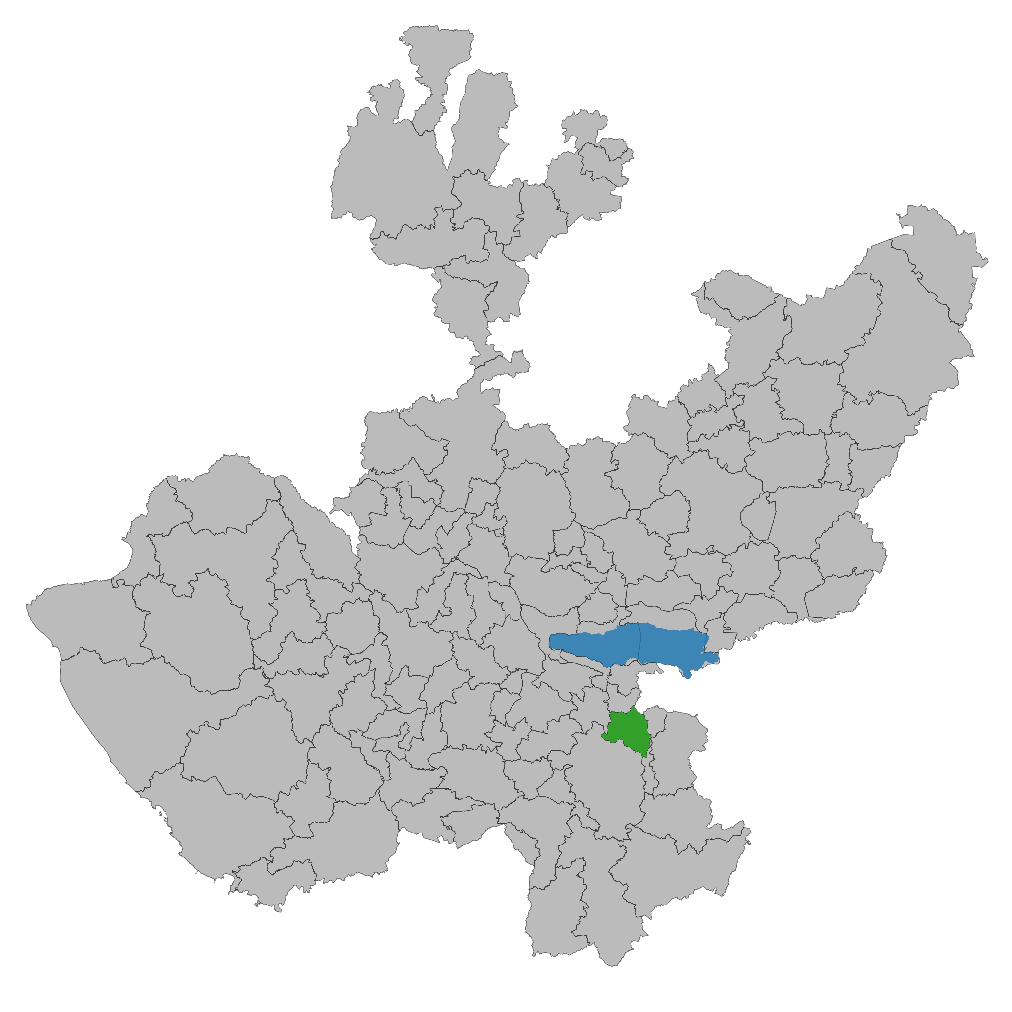
Mazamitla
The name tells you everything you need to know about how this place began. Mazamitla comes from three Nahuatl words: mazatl (deer), mitl (arrow), and tlan (place). The Aztecs who founded the settlement in 1165 were fletchers and hunters, people who understood the highland forests south of Lake Chapala well enough to make their living from them. Nearly nine centuries later, the deer still roam the surrounding hills, but the arrows have given way to hiking boots and weekend cabins. Perched at 2,200 meters in the mountains of southeastern Jalisco, Mazamitla is now one of Mexico's designated Pueblos Magicos, a federal recognition of towns with exceptional cultural or natural character. What draws visitors from Guadalajara, 124 kilometers to the north, is the same thing that drew the Aztecs: forested ridgelines, cool air, and the feeling of being somewhere apart.
Fletchers, Empires, and the Salitre War
Mazamitla's early history reads like a territorial tug-of-war. Founded as an Aztec settlement, it paid tribute to the provincial capital of Tamazula and belonged to the manor of Tzapotlan. In 1481, the Purepecha invaded from the west, intent on capturing the Laguna de Sayula and its valuable salt deposits. They held the area for nearly three decades before losing it in the Salitre War of 1510, a conflict fought over those same salt resources. Barely a dozen years later, in 1522, the Spanish conquistador Cristobal de Olid arrived with Juan Rodriguez Villafuerte, sent by Hernan Cortes to explore western Mexico. The people of Tzapotlan were awarded to Cortes, who appointed an encomendero to oversee them. Three empires in three centuries, each drawn by what the highlands produced.
An Oak Trunk and a Town Square Hanging
Local tradition holds that Miguel Hidalgo, the father of Mexican independence, once celebrated mass in the nearby hamlet of Palo Gordo while serving as a priest in the region. He reportedly used a tree trunk as an altar, and that piece of oak is still preserved as a relic. During the War of Independence, insurgents led by Francisco Echeverria fought royalist forces in 1812 on the slopes of Zapatero. Echeverria was gravely wounded in the clash and died in Mazamitla. The town's entanglement with larger conflicts continued during the French intervention of the 1860s, when occupying soldiers burned local records. After the intervention collapsed, townsfolk captured a French officer and hanged him in the town square. On April 19, 1894, the state congress officially declared Mazamitla a town, giving legal form to a community that had already endured centuries of upheaval.
Pine, Frost, and the Mountain's Edge
Mazamitla's landscape is steep and varied. Thirty-five percent of the municipality is hilly terrain covered in forest, with ridges climbing to 2,800 meters at peaks like Cerro El Jackal and Cerro del Tigre. The climate is subtropical highland, with an average temperature of 21 degrees Celsius and more than fifty days of frost per year. Pine and oak dominate the upper slopes, while huizache and mesquite fill the lower elevations. Rivers named La Pasion and Ponche Grande cut through the terrain, fed by mountain springs with evocative names like Boca de Tinieblas, 'Mouth of Darkness.' The forests shelter deer, porcupines, wildcats, eagles, and chachalacas, a loud and sociable bird whose call carries through the morning mist. Over ten thousand of the municipality's nearly eighteen thousand hectares remain forested, a resource that supports both the local logging industry and the tourism economy.
Cabins, Cajeta, and the Weekend Escape
For residents of Guadalajara, Mexico's second-largest city, Mazamitla serves as the mountain retreat. The town's tourism infrastructure centers on rental cabins scattered through the surrounding pine forests, an idea that local leaders developed to draw visitors and their spending. The economy reflects a town in transition: about a quarter of the population still works in agriculture, growing corn, oats, barley, beans, and potatoes, while another quarter works in industry, including food processing plants that produce dairy products and cajeta, the caramel confection made from goat's milk. But the largest share, over forty percent, now works in services and tourism. On Sundays and festival weekends, the population of roughly 11,700 swells considerably. The Fiestas de San Cristobal fill the second week of July, the Festival de las Flores takes over October weekends, and the Feast of the Virgin of Guadalupe runs from December 4 through 12. For a town whose name evokes ancient hunts, Mazamitla has learned to make its living from people seeking something quieter than prey.
From the Air
Mazamitla lies at 19.916N, 103.021W at an elevation of 2,200 meters (7,218 feet) in the highlands of southeastern Jalisco. From 5,000-8,000 feet AGL, the town is visible as a cluster of red and white roofs amid dense pine and oak forests on mountain ridges south of Lake Chapala. The terrain is rugged, with peaks reaching 2,800 meters. The nearest significant airport is Guadalajara International (MMGL), approximately 124 km to the north. Expect variable mountain weather with frequent fog and clouds, especially during the rainy season from June through September.