McLaughlin Eastshore State Park
The land was worth millions, and the railroad wanted every dollar. In the 1960s, a 72-acre stretch of waterfront north of the Bay Bridge - owned by a subsidiary of the Atchison, Topeka and Santa Fe Railway - sat at the center of a slow-motion collision between commerce and conservation. Developers saw hotel towers and shopping plazas. Sylvia McLaughlin, a Berkeley housewife with no political experience and no interest in staying quiet, saw something worth saving. The park that now bears her name stretches 8.5 miles along the East Bay shoreline, threading through five cities from Richmond to Oakland, and every acre of it exists because ordinary people decided that garbage-strewn mudflats were more valuable than whatever could be built on top of them.
The Housewife and the Railroad
Sylvia McLaughlin was not a professional activist. She was alarmed. By the early 1960s, San Francisco Bay was shrinking - filled with trash, choked by runoff, carved up for development. McLaughlin recruited friends and founded the Save San Francisco Bay Association, later shortened to Save the Bay, and in 1963 her shoreline park committee began discussing a modest goal: raise enough money for a small park in Berkeley. But the dumping problem was bigger than any single park could fix. The real fight was regulatory. In 1969, the Bay Conservation and Development Commission became a permanent state planning body, and it backed the idea that California should buy the waterfront land. Nobody else was eager. California State Parks had no appetite for managing a polluted urban parcel. The East Bay Regional Park District thought the state should lead. And the Santa Fe Railway's Catellus Development Corporation was in no hurry to sell property that kept appreciating. Decades of negotiation followed before the park finally came into being.
Five Cities, One Shoreline
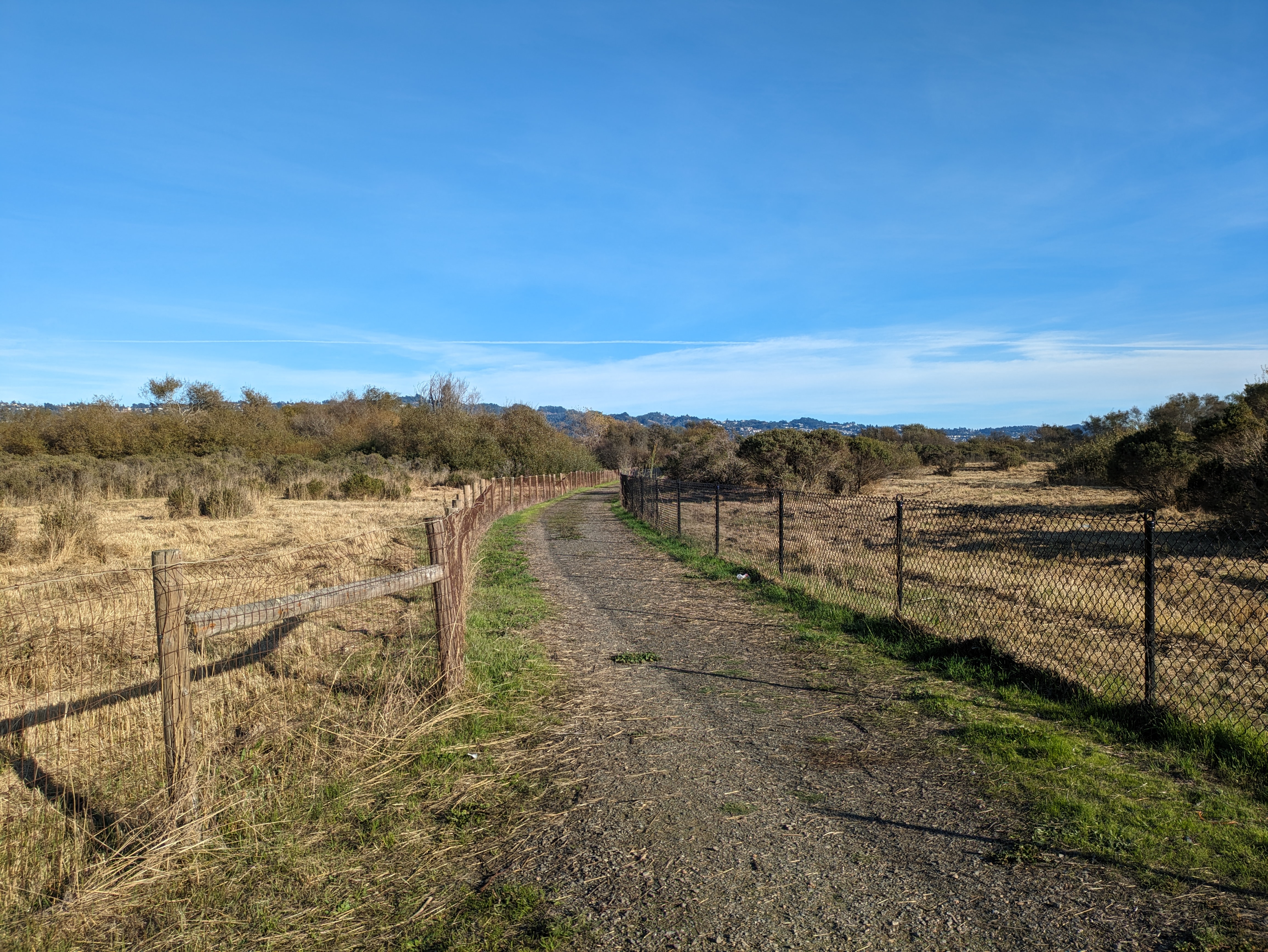
McLaughlin Eastshore State Park is not one park in the conventional sense. It is a chain of distinct landscapes stitched together along the bay's edge - Point Isabel at the north, where dog walkers outnumber every other species; Albany Beach, where mudflats feed migrating shorebirds; Berkeley Meadow, a fragmented marshland with potential for restored habitat connectivity; and the Emeryville Crescent, whose tidal marshes and eelgrass beds serve as a living shoreline that buffers Interstate 80 from erosion. The park crosses through Richmond, Albany, Berkeley, Emeryville, and Oakland, encompassing 1,854 acres of tidelands and uplands. Some of it is remnant natural wetland. Some is restored. Some is landfill, reclaimed from the decades when the East Bay treated its shoreline as a place to dump what it no longer wanted.
Where Salt Meets Fresh
The ecological story of the Eastshore is one of edges. Where freshwater streams once met the salt water of San Francisco Bay, nutrient-rich zones supported dense webs of life - shrimp, clams, oysters, and the shorebirds that fed on them. Fill placement and development destroyed much of that habitat, but what remains is surprisingly resilient. Surveys have identified 46 bird species across the park's various sites, both inland and coastal. The San Francisco Estuary Institute has mapped the shoreline into operational landscape units, cataloging the mudflats, marshes, and tidal zones that make up the park's complex geography. Their assessment found that several sections of the park are critical for erosion management - particularly the Emeryville Crescent, where existing reefs and eelgrass create natural defenses against wave action, and Albany Beach, where mudflat conservation is essential to marsh survival.
A Name Earned, Not Given
For years it was simply Eastshore State Park - a bureaucratic name for a bureaucratic achievement. In October 2012, the park was renamed for Sylvia McLaughlin, who had co-founded Save the Bay and continued to champion the park until her death in January 2016 at age 99. The renaming honored not just her founding of Save the Bay but the specific, grinding decades of advocacy that turned a polluted shoreline into public land. McLaughlin shared credit with Dwight Steele of Citizens for Eastshore Park, another activist who did not live to see the park completed. Prior to 2013, the park was jointly managed by California State Parks and the East Bay Regional Park District. The two agencies eventually signed a 30-year agreement placing EBRPD in charge of day-to-day operations - a practical acknowledgment that the regional district, already managing eight urban shoreline parks, knew this kind of landscape better than the state agency ever had.
From the Air
McLaughlin Eastshore State Park (37.868N, -122.308W) runs along the East Bay shoreline of San Francisco Bay, visible as a narrow green and brown ribbon between I-80/I-580 and the water. From 2,000-3,000 feet AGL, look for the distinctive chain of marshes and mudflats stretching from Richmond south through Albany, Berkeley, and Emeryville to Oakland. The Bay Bridge crosses to the south. Point Isabel's dog park and Albany Beach are identifiable landmarks at the northern end. Oakland Metro (KOAK) is 5nm south-southeast. San Francisco International (KSFO) is 15nm south-southwest across the Bay.